Skip to page content
SHORE

Cammeray / Homes on the ridge and the slopes below it

Builders in Cammeray for sloping blocks and Federation streets

Planning a Cammeray home starts with land that falls toward Long Bay and Willoughby Bay. Good planning here starts with the slope, the bushland edge and where the car can go.

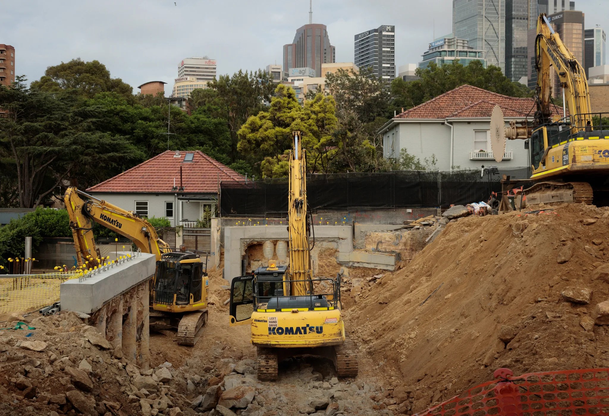
BEAUCHAMP / Kirribilli / Under construction

01 / The proposition

A suburb that drops away to the water

Builders in Cammeray work with ground that rarely sits still. Council describes land falling from the ridge along Carter Street and Cammeray Road down to Long Bay and Willoughby Bay, with steeper lots near the foreshore. Bushland covers the slopes above Tunks Park and Primrose Park.

From the first sketch, the levels lead. Your rooms, garden and parking get tested against the site before you settle on a design.

Before you draw a garage

Where does the car go on a Cammeray slope?

Many buyers picture a garage dug into the hillside. The North Sydney DCP generally rules out basement parking for houses. It may consider it only when the earthworks objectives are satisfied, the basement sits entirely under the building and no alternative parking location works on the site. It also asks that finished ground stay within 500 mm of natural levels.

We settle the parking question early so you avoid designing the house twice. On some lots the answer is a carport at street level. On others it shapes the whole floor plan.

SHORE Design + Build Architectural Cartography

Loading Architectural Map...
SHORE DESIGN + BUILD · LOCATIONS ARE APPROXIMATE

Select a pin or drag to explore

Map data: Esri, HERE, Garmin · © OpenStreetMap contributors

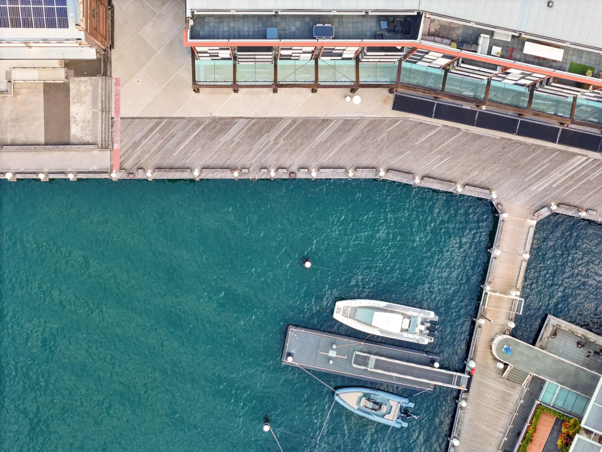
ALOFT project in Darling Point
Loading photo…
Completed 2021

Darling Point · residential

[ ALOFT ]

Five apartments arranged around Sydney Harbour views, with two basement levels. Completed in 2021, with architecture and interiors by Xpace.

Map locationDarling Point · Indicative location
Xpace (Architecture & Interiors) · SHORE (Construction Delivery)
Explore project details

What council asks of a Cammeray house

North Sydney controls on slope, bushland and heritage

Across the low density Cammeray streets we sampled, the LEP maps 8.5 m for building height with 450 m² as the mapped minimum subdivision lot size. Medium density samples show 230 m². The LEP floor space ratio map shows no ratio at these samples. Each street can differ, so ask your planner to confirm the maps for your lot. In a conservation area, expect to lodge a DA unless your certifier finds a complying route.

  1. 01

    Follow the slope.

    The DCP asks homes on sloping land to follow the ground with minimal cut and fill. It also discourages excavation within 1 m of a boundary.

  2. 02

    Keep the stone.

    Rock outcrops, sandstone platforms and sandstone retaining walls should not be removed or covered by new work.

  3. 03

    Leave room for bushland.

    Homes close to bushland or the foreshore edge should keep a separation from it. Parts of Cammeray are mapped as bushfire prone land.

  4. 04

    Hold the street front.

    In the Cammeray conservation area, garages and carports stay behind the building line with single driveways. Front dormers count as uncharacteristic in both conservation areas.

Working down the hill

Getting a Cammeray site ready for design

On a falling block the order of investigations matters. We gather the site facts that change the design before we refine the rooms.

  1. Survey the levels and the rock.

    We start with a detailed survey and look at sandstone outcrops and retaining walls, which council asks owners to keep. Sections through the lot show how each floor meets the ground.

  2. Check the edges of the site.

    We confirm whether bushfire mapping, a foreshore building line or nearby bushland affects your lot. Trees above the council size threshold need approval, so an arborist joins early where needed.

  3. Plan the build sequence.

    Excavation close to a boundary needs care and engineering advice. We plan how machines, deliveries and spoil move on a sloping street before pricing the work.

Two common starting points

Renovate the cottage or build new on the slope

A Cammeray brief might involve a conservation area house or a new home on steeper land. Each has different first questions.

Extend a Federation house.

In the Cammeray and Plateau conservation areas council expects additions to sit behind the original house at a reduced scale. We design rear living spaces that keep the hipped roof and the face brick on its sandstone base intact from the street.

Design a new home that follows the fall.

Away from the conservation areas, a new house can step with the land instead of sitting on a large platform. We shape the floor levels so the garden and the views work together.

Explore our work

A Mosman waterfront home and a Kirribilli apartment building

WHISPER

[ WHISPER ]

Mosman, NSW

Completion 2027

Six bedroom waterfront home. Architecture, interiors and facade by SHORE. Completion 2027.

Architecture
SHORE
Interiors & facade
SHORE
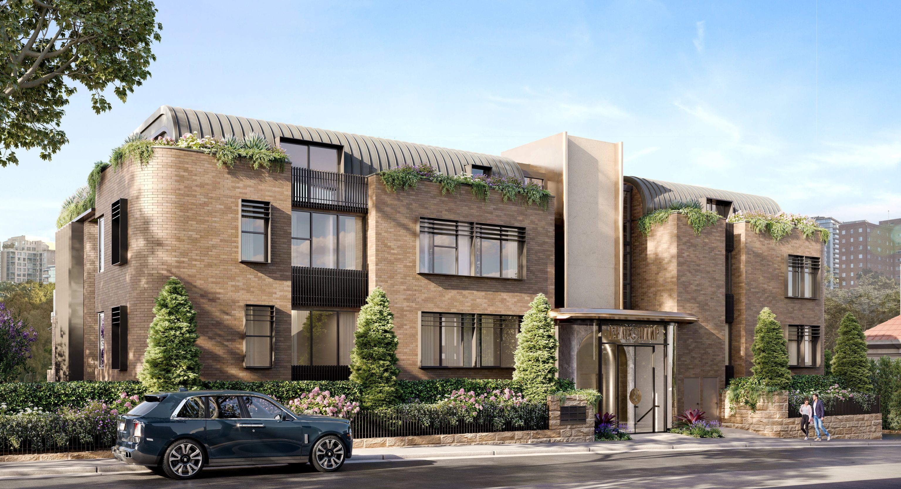
BEAUCHAMP

[ BEAUCHAMP ]

Kirribilli, NSW

Under construction

Nine apartments over two basement levels. Architecture by BHMP, interiors and facade by Henderson & co. Under construction.

Architecture
BHMP
Interiors & facade
Henderson & co

Two different conservation areas

The Plateau and the Cammeray conservation areas

The Plateau conservation area sits on a small rise with escarpments to the north and east. Single storey Federation and Edwardian houses sit beside a few weatherboard cottages. Council's character controls for the area call for no off street parking.

The Cammeray conservation area holds later Federation and Edwardian Queen Anne houses, typically single storey on sandstone bases. Its dead end streets at Morden Street and Echo Street finish at escarpments. We confirm on the council map which area your house sits in before advising on scope.

Questions to bring early

Cammeray questions from homeowners

Will council accept an upper floor on a Plateau conservation area cottage?

Council's guidance for the Plateau area is a single storey rear extension within the existing roofline. North Sydney does not generally support upper level additions in conservation areas, though it can allow one when the scale and heritage character are respected. Space at the rear is usually the first option to test.

How much of Cammeray is houses rather than apartments?

In the 2021 Census about a quarter of occupied homes in Cammeray were separate houses. Around 60% were flats or apartments and about 15% were semis, terraces or townhouses. Council's desired future character for the Cammeray Neighbourhood prioritises low density housing near the foreshore. Council expects density to rise closer to Miller and Falcon Streets.

Does bushland near Tunks Park or Primrose Park affect a renovation?

It can. Council asks buildings to keep a separation from bushland. Some land in Cammeray is also mapped as bushfire prone. We check your lot early because a bushfire assessment can change materials, glazing and cost.

Has SHORE built in Cammeray?

Our published project collection currently features nearby work in Mosman and Kirribilli. WHISPER, our waterfront home in Mosman, is about 3.1 km away measured between suburb centres with completion scheduled for 2027. BEAUCHAMP in Kirribilli, about 2.7 km away, is an apartment building under construction to a BHMP design.


Your block first

Show us the fall of your Cammeray land

A survey helps if one exists. Otherwise, photos taken from the street and from the lowest corner of the garden tell us a lot. Mention how you park today and we will reply with the questions that matter for your site.

Talk about your Cammeray home
AboutProjects