Skip to page content
SHORE

Council guide / The Hills Shire

Builders for suburban lots, release estates and rural acreage in The Hills Shire council area

A brief here depends on whether your block sits in an established garden street, a North West Growth Area precinct or the northern rural valleys. This guide explains the council's planning and site rules before you draw a house.

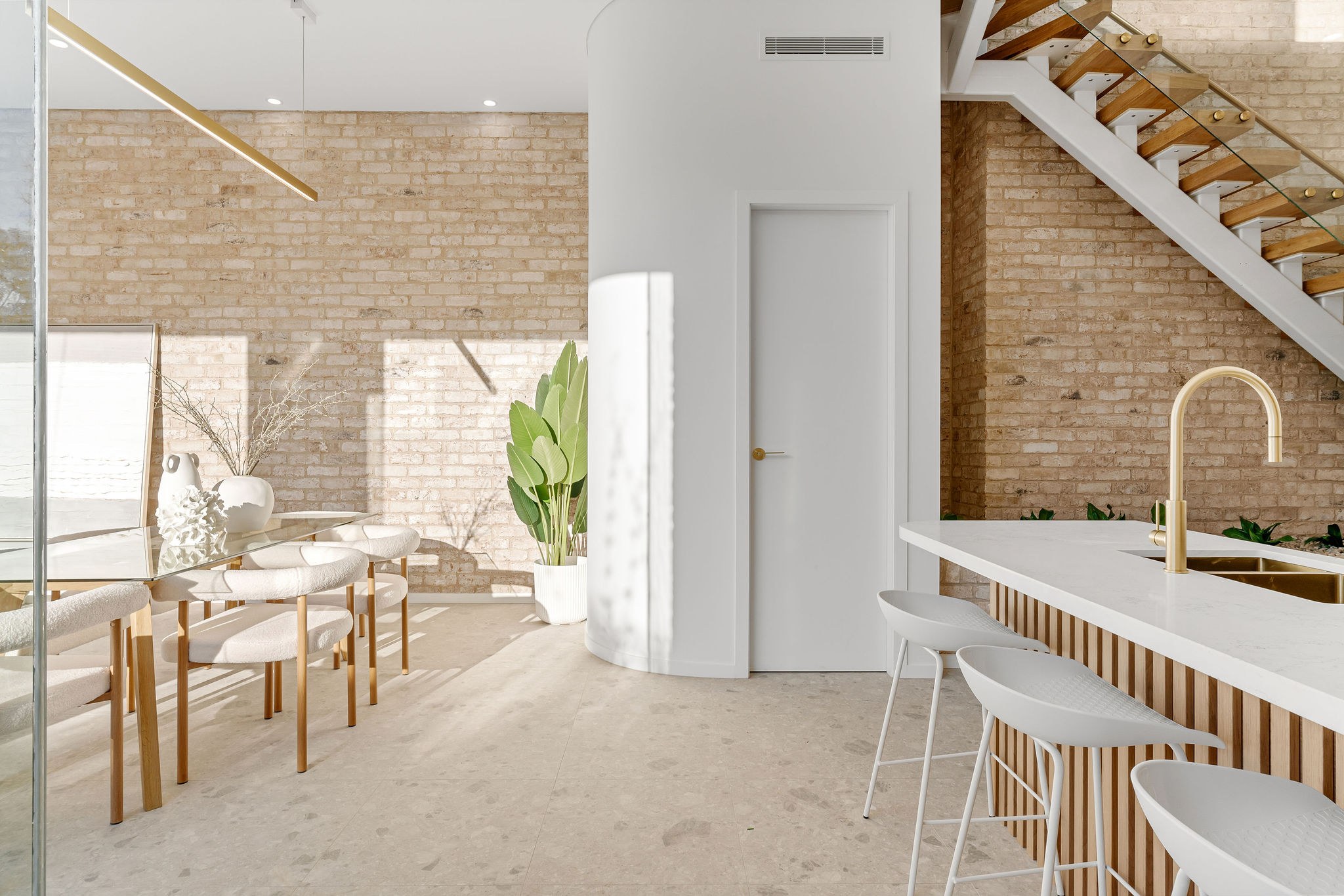
ASH / Eastwood / Completed 2022

01 / The proposition

Three settings under one council banner

We are builders in The Hills Shire council area, where residential work spans established streets in Castle Hill, Baulkham Hills and West Pennant Hills alongside newer subdivisions in North Kellyville, Box Hill and Gables plus rural holdings stretching north to Glenorie, Maroota and Wisemans Ferry. The Hills Local Environmental Plan 2019 and The Hills Development Control Plan 2012 govern most of the Shire, while the Central River City Precincts State policy and growth centre precinct plans cover the North Kellyville and Box Hill release areas.

Separate houses dominate the local stock. In the 2021 Census, standalone houses accounted for 81.2% of occupied dwellings across the Shire, rising above 95% in Kenthurst, Glenorie, Box Hill and Annangrove. Two thirds of occupied dwellings across the council area (67.5%) held four or more bedrooms, nearly double the New South Wales share of 33.9%.

We design and build custom homes, knockdown rebuilds, dual occupancies and major alterations. We also construct residences from drawings prepared by external architects.

First checks

Four questions to settle before sketching

First, verify which council and planning instrument govern the parcel. Old Northern Road splits Castle Hill, Middle Dural, Glenorie and Maroota with Hornsby Shire, while the M2 corridor divides Baulkham Hills from the City of Parramatta. Cattai, Maraylya and Leets Vale cross into Hawkesbury City while Wisemans Ferry also reaches into Hornsby Shire and Central Coast council areas. Second, check whether the land falls under The Hills LEP 2019 or the growth centre precinct controls in North Kellyville and Box Hill.

Third, review the site coverage and earthworks limits early, because low density residential land here rarely uses a mapped floor space ratio. Fourth, on acreage or bushland edges, test bushfire attack levels, slope stability and whether town water and sewer reach the boundary.

We have not published a project inside The Hills Shire yet. Three examples of our residential work in nearby Carlingford, Eastwood and Ermington appear below.

SHORE Design + Build Architectural Cartography

Loading Architectural Map...
SHORE DESIGN + BUILD · LOCATIONS ARE APPROXIMATE

Select a pin or drag to explore

Map data: Esri, HERE, Garmin · © OpenStreetMap contributors

ALOFT project in Darling Point
Loading photo…
Completed 2021

Darling Point · residential

[ ALOFT ]

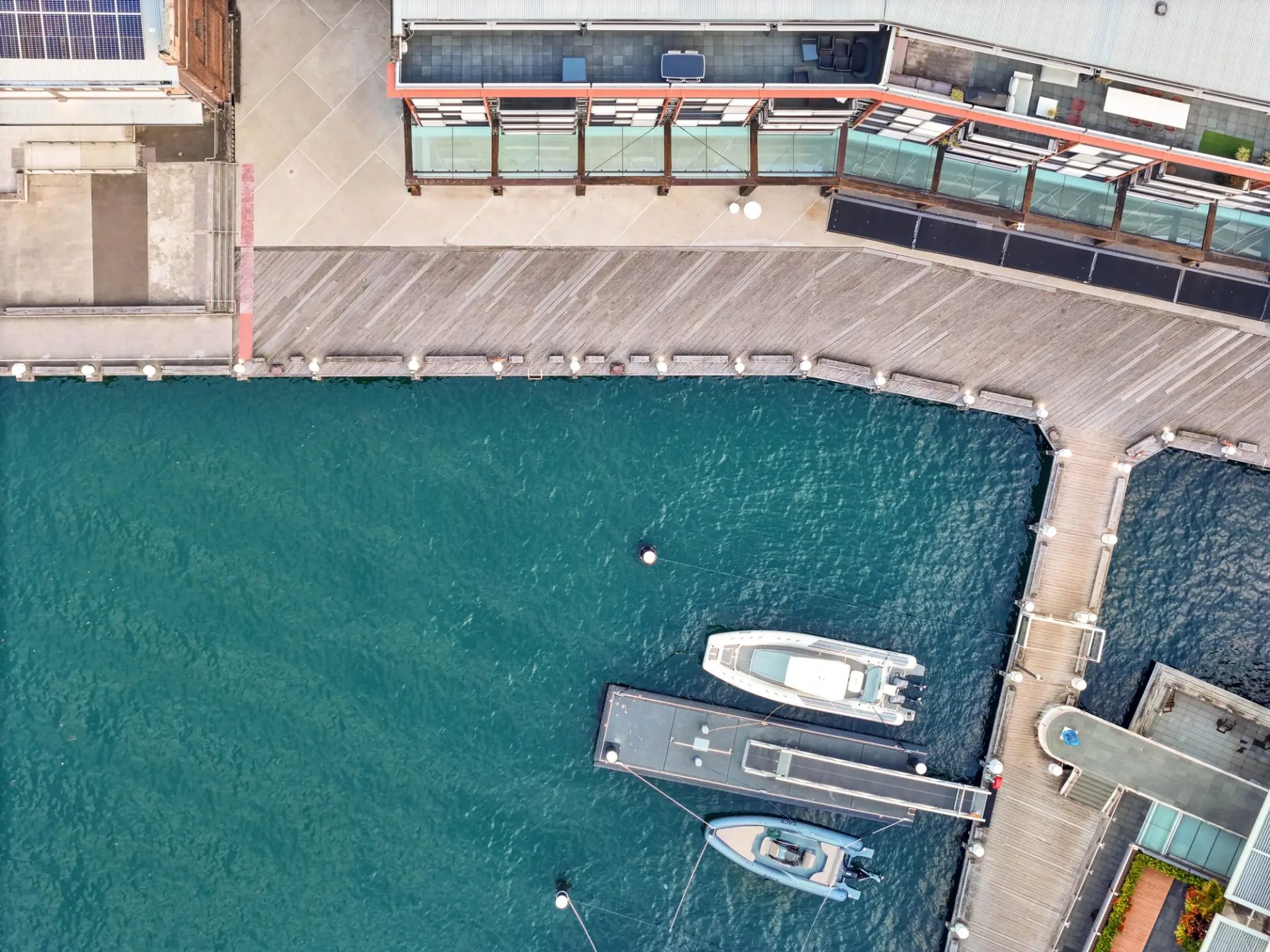
Five apartments arranged around Sydney Harbour views, with two basement levels. Completed in 2021, with architecture and interiors by Xpace.

Map locationDarling Point · Indicative location
Xpace (Architecture & Interiors) · SHORE (Construction Delivery)
Explore project details

What the planning rules say

Controls that shape houses and acreage builds here

Across the sample points we mapped over the council area, rural zones covered 71.5% of points and urban residential zones covered 16.6%. On urban residential land, mapped height limits were most often 9.0 metres (56.6%) or 10.0 metres (26.1%), while 96.4% of sampled points carried no mapped floor space figure. Rules vary between streets and release precincts, so we verify every parcel individually.

  1. 01

    Coverage, landscaping and cut replace a floor space ratio.

    Under The Hills DCP 2012 Part B Section 2, standard residential zones cap total impervious site coverage at 60% (including the house, driveway, patios, pool and decks), cap the dwelling building footprint at 45% and require at least 40% landscaped area. In Zone C4 Environmental Living, maximum site coverage drops to 30% with at least 70% landscaped area. Residential cut and fill must be balanced so no fill leaves the site, filling between 600 millimetres and 1.5 metres requires a concealed dropped edge beam and excavation over 1 metre needs structural engineering details for retaining walls.

  2. 02

    Dual occupancies are permitted in R2, while subdivision is tightly limited.

    The Hills LEP 2019 allows dual occupancies with consent across Zones R1, R2 and R3 while permitting attached dual occupancies in Zones C4, RU1, RU2 and RU6. Clause 4.1A sets minimum lot sizes in Zone R2 at 600 square metres for an attached pair and 700 square metres for a detached pair, rising to 2,000 square metres for an attached pair in Zone C4 and 2 to 10 hectares in rural zones. Clause 4.1C bars subdividing a new dual occupancy into separate lots across most of the Shire. Within 800 metres walking distance of Bella Vista, Kellyville or Hills Showground stations or a mapped town centre, State housing policy can allow dual occupancies on lots from 450 square metres and lets council approve Torrens lots of at least 225 square metres for a dual occupancy approved on or after 28 February 2025. Excluded land such as bushfire prone land or a heritage item is not covered.

  3. 03

    Heritage conservation areas are rare, while bushfire mapping is wide.

    Schedule 5 of the local plan lists only three heritage conservation areas (Balcombe Heights, Bella Vista Homestead Complex and the Old Government Farm Site in Castle Hill), alongside 169 unique heritage item numbers and 25 archaeological site numbers. By contrast, bushfire prone land mapping covered 77.8% of the sample points we mapped across the council and 17.7% of urban residential points. Complying development is excluded in BAL 40 and the flame zone; under the Housing Code lower BAL lots also need direct public road access, mains power and reticulated water with a hydrant within 70 metres.

  4. 04

    Flood, landslide and rural servicing rules add engineering steps.

    On flood controlled land, DCP Part C Section 6 sets residential habitable floors at or above the 100 year ARI flood crest plus 500 millimetres of freeboard, with flood compatible materials below that level. On mapped landslide risk land, LEP clause 7.6 requires council to weigh the site's geotechnical constraints, cut and fill and drainage. DCP Part B Section 2 also requires an engineer's geotechnical appraisal certifying that the design can withstand high plasticity clays subject to shrink and swell movements. Under DCP Part B Section 1, rural building platforms must measure at least 15 by 20 metres off slopes over 20% and prominent ridgelines, keep cut within 1 metre and fill within 600 millimetres, provide at least 80,000 litres of domestic water storage where town water is absent and reserve at least 1,000 square metres for on site wastewater disposal on slopes up to 15%.

How a Hills build runs

From site check to keys in hand

Whether the block is a suburban knockdown in Baulkham Hills or five acres in Kenthurst, we resolve the planning rules and ground conditions before locking in the structural layout.

  1. Confirm the planning layer.

    We check the planning certificate to confirm the council boundary, the zoning instrument, the minimum lot size map and whether a site specific precinct chapter applies.

  2. Shape the footprint to the coverage and cut rules.

    Instead of relying on a floor space ratio, we test the house footprint, driveway, pool and terraces against the council's site coverage, landscaped area and balanced cut and fill limits.

  3. Coordinate bushfire, water and soil reports.

    Where maps show bushfire buffers, flood controlled land, reactive clay or rural effluent constraints, we brief the bushfire consultant, hydraulic engineer and geotechnical engineer alongside the concept drawings.

  4. Price and build with clear access logistics.

    We match the structural engineering, retaining wall details and site access plan to the cost estimate so council lodgement and construction proceed without rework.

How we work with you

Pick the pathway that suits your brief

Homeowners come to us either at the blank page stage or with architectural drawings ready for pricing and construction.

Design and build under one roof.

We handle the architectural concept, engineering coordination, interior design, council submission and construction as one team. That keeps the house layout, the site coverage budget and the construction cost aligned from day one.

Constructing from independent architect drawings.

Bring your completed drawings and consultant reports to us for preconstruction review and tendering. We check buildability, earthworks retention and service connections, then price and deliver the build with full attention to architectural detail.

Explore our work

Residential projects in nearby northern districts

[ SOLICE ]

[ SOLICE ]

Carlingford, NSW

Under Construction

A dual occupancy of two sculptural residences in Carlingford currently under construction, with architecture, interiors, facade and construction by SHORE. Carlingford is about 3.2 kilometres from West Pennant Hills and 6.3 kilometres from Baulkham Hills in a straight line between the calculated centres of the suburb areas.

Architecture
SHORE
Interiors & facade
SHORE
[ ASH ]

[ ASH ]

Eastwood, NSW

Completed 2022

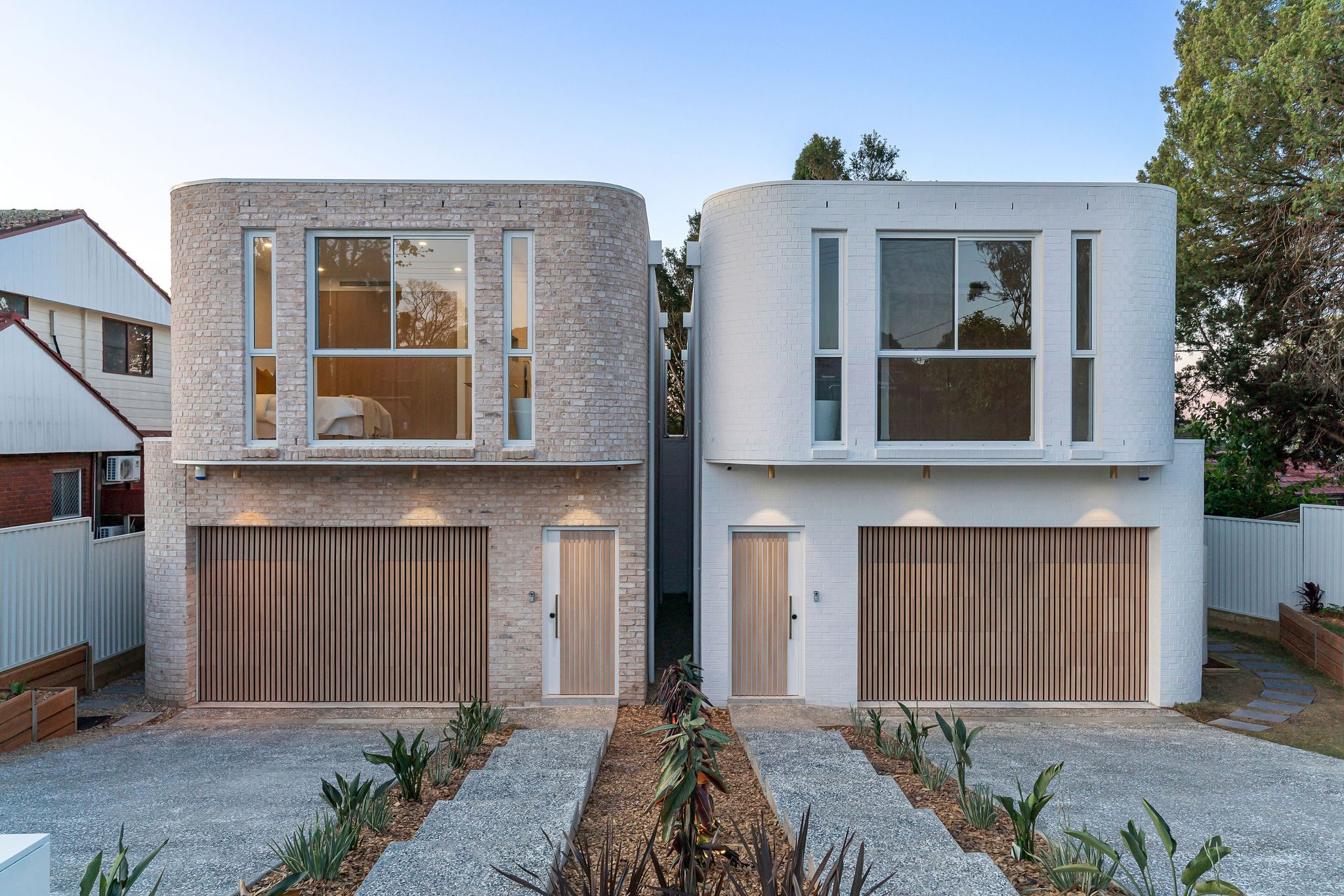
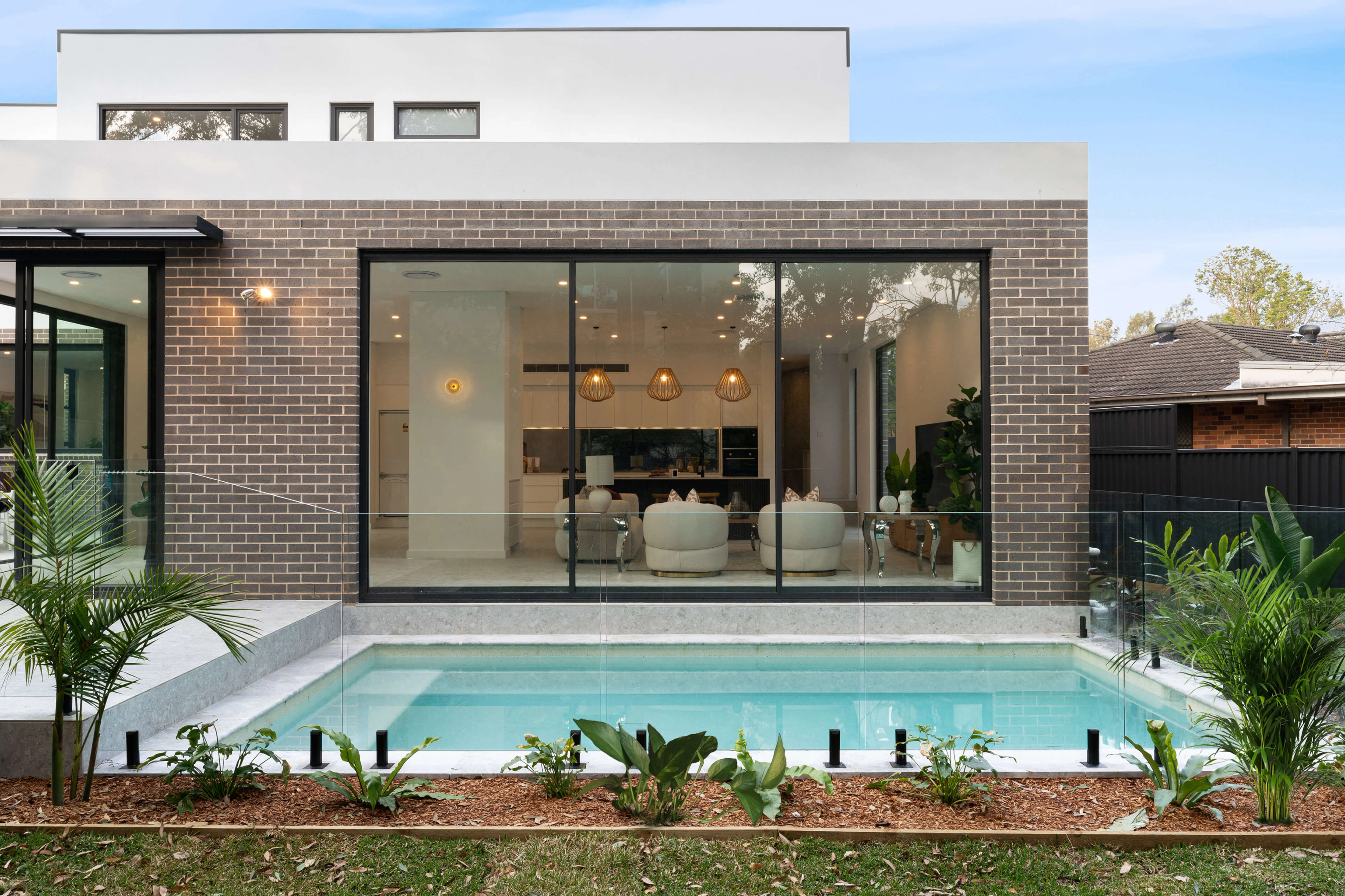
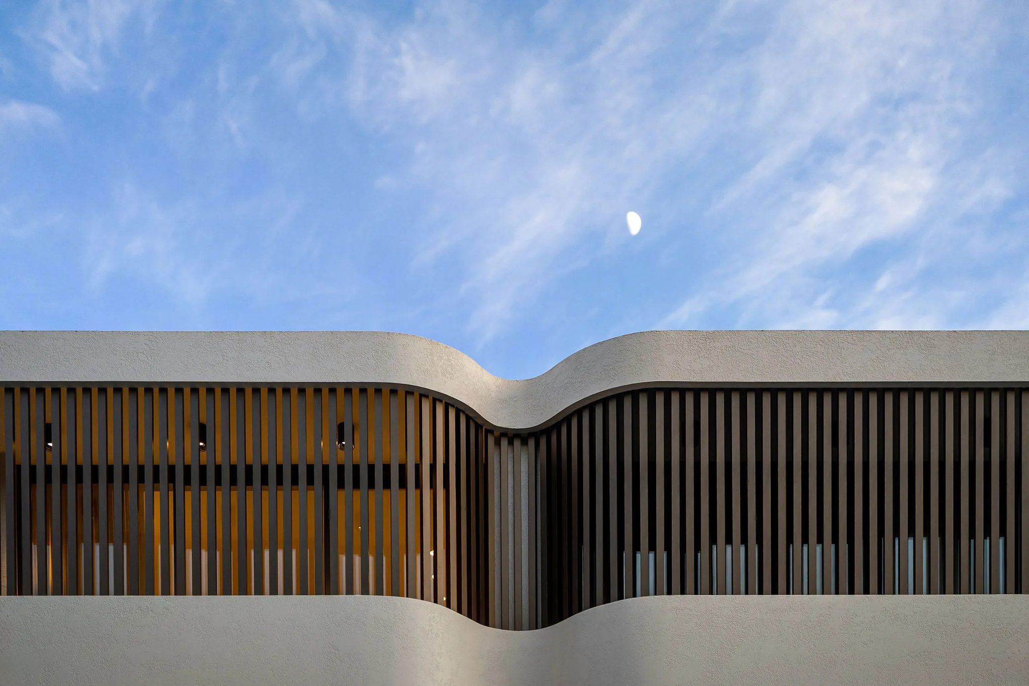
A sculptural duplex with curved walls and elliptical windows in Eastwood, completed in 2022. SHORE handled the interiors and facade and built the project. Eastwood is about 6.5 kilometres from West Pennant Hills in a straight line between the calculated centres of the two suburb areas.

Interiors & facade
SHORE
[ ULM ]

[ ULM ]

Ermington, NSW

Completed 2023

A contemporary home in Ermington with sweeping curves, completed in 2023. Architecture is by Peak Architects while SHORE handled the interiors and facade and built the residence. Ermington is about 7.4 kilometres from West Pennant Hills and 9.5 kilometres from Baulkham Hills in a straight line between the calculated centres of the suburb areas.

Architecture
Peak Architects
Interiors & facade
SHORE

23 suburbs

Localities within The Hills Shire council area

Our service map groups these 23 localities under this council: Annangrove, Baulkham Hills, Beaumont Hills, Bella Vista, Box Hill, Castle Hill, Cattai, Gables, Glenhaven, Glenorie, Kellyville, Kenthurst, Leets Vale, Maraylya, Maroota, Middle Dural, Nelson, North Kellyville, Norwest, Sackville North, South Maroota, West Pennant Hills and Wisemans Ferry.

Only 12 of those polygons sit wholly inside the Shire boundary. Baulkham Hills, Castle Hill, Cattai, Glenhaven, Glenorie, Leets Vale, Maraylya, Maroota, Middle Dural, West Pennant Hills and Wisemans Ferry all cross into neighbouring councils. Parts of Rouse Hill, Dural, North Rocks and Winston Hills also sit inside The Hills Shire even though the map lists them under adjacent councils. Send us the lot details and we will verify the exact planning authority first.


Questions to bring early

Local questions for Hills Shire owners

Can we build a dual occupancy and subdivide it into two titles in The Hills Shire?

Building a dual occupancy is permissible with council consent in Zone R2 where the lot is at least 600 square metres for an attached pair or 700 square metres for a detached pair under clause 4.1A of The Hills LEP 2019. Across most of the Shire, clause 4.1C then bars subdividing a new dual occupancy so each dwelling sits on its own lot, which keeps the pair on one title for extended family living or rental. The exception is land within 800 metres walking distance of Bella Vista, Kellyville or Hills Showground stations or a mapped town centre, where State housing policy lets council approve Torrens lots of at least 225 square metres for a dual occupancy approved on or after 28 February 2025 unless the land is excluded, such as bushfire prone land or a heritage item.

If the planning map shows no floor space ratio, what controls the size of a new house?

Over 96% of urban residential points in our map sample carry no mapped floor space ratio, so house bulk is governed by The Hills DCP 2012 Part B Section 2. On standard residential lots, total hard surface coverage (counting the house, driveway, patios, pool and decks) cannot exceed 60% of the lot, the dwelling footprint itself cannot exceed 45% and at least 40% of the site must remain landscaped. On Zone C4 Environmental Living land, maximum site coverage is 30% and minimum landscaped area is 70%.

How do building rules change on rural acreage in Kenthurst, Glenorie, Annangrove or Maroota?

Under DCP Part B Section 1, rural houses need a building platform of at least 15 by 20 metres kept off prominent ridgelines and slopes steeper than 20%, with earthworks limited to 1 metre of cut and 600 millimetres of fill. Maximum site coverage is the lesser of 50% or 2,500 square metres on lots under 2 hectares, 15% or 2,500 square metres on lots of 2 to 10 hectares and 25% or 5,000 square metres above 10 hectares. Where town water is unavailable, the property must provide at least 80,000 litres of domestic water storage. Where sewer is unavailable, it needs at least 1,000 square metres for on site effluent disposal set back 100 metres from permanent watercourses and 40 metres from dams or intermittent creeks.

Can we use complying development for a new home instead of a council development application?

Sometimes on standard urban lots, though exclusions apply across much of the Shire. The Housing Code applies only in Zones R1, R2, R3, R4 and RU5, so Zone C4 Environmental Living requires a development application, while rural zones fall under the Rural Housing Code only where the lot is at least 4,000 square metres, meets the local plan's minimum dwelling lot size and is not mapped for landslide risk. Complying development is also excluded in BAL 40 or the flame zone, on Class 1 or 2 acid sulfate soils, in foreshore areas and within the three heritage conservation areas (except for swimming pools, detached outbuildings and certain other detached structures), while flood control lots need engineering or council certification first.

Next step

Talk through your Hills Shire site with us

Send us the suburb, lot size and your brief for the property. We will check which planning instrument, site coverage rule and ground investigation apply before you commit to drawings.

Talk about my site
AboutProjects