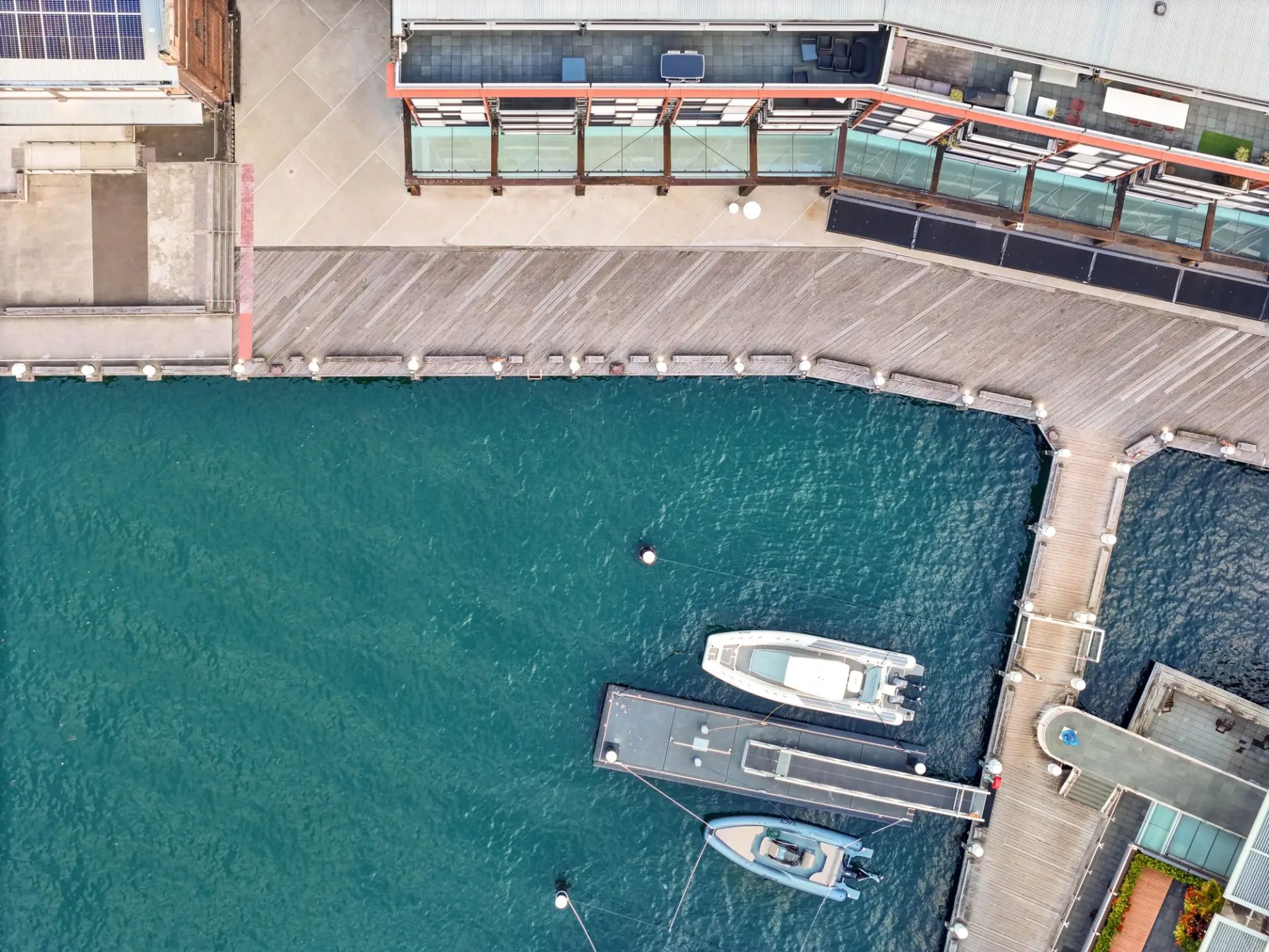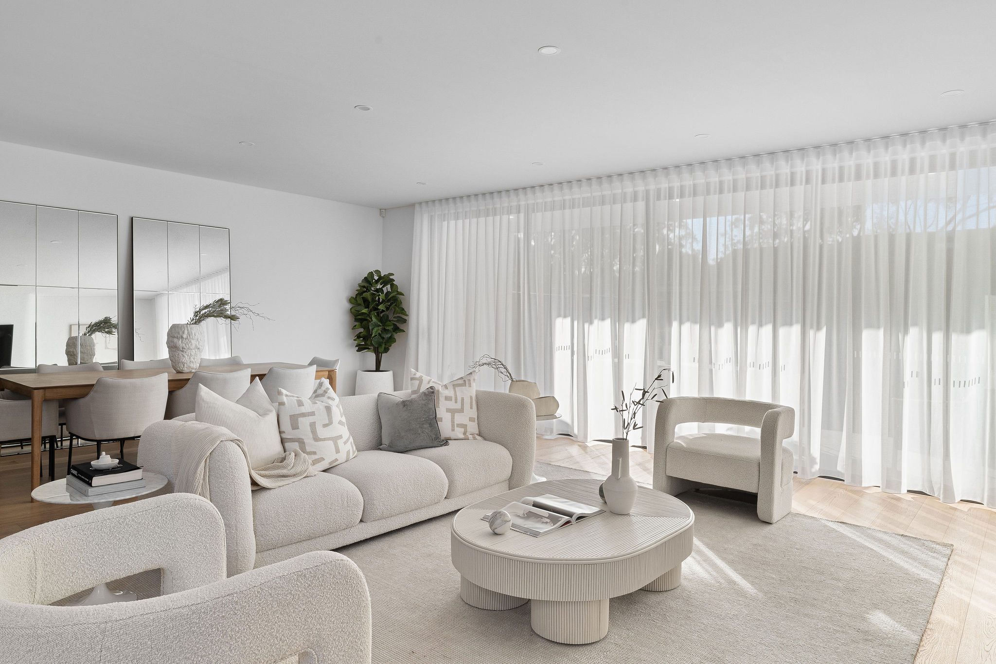

Extend a house towards the river.
Additions on the waterside face the closest scrutiny under river front controls. We test height, glazing and planting from the water so the extension sits comfortably among the trees.

Huntleys Point / A small riverside pocket
Huntleys Point is a compact group of houses facing the water, with major road land around them. We plan new homes and additions around the river front controls, the fall of each lot towards the shore and how a site gets running.
ELIPSE / East Ryde / Completed 2024
01 / The proposition
Builders in Huntleys Point should not assume the rules from across the council area apply unchanged. None of the 64 locations we sampled here fell inside a heritage conservation area, while 62 of them carried council's River Front Area mapping.
The river, rather than a conservation listing, therefore sets most of the design questions. Our architects and site managers look at any slope, the view from the water and site logistics together, so the approach to the house is resolved before costs are estimated.
Read the waterfront rules first
Council's controls expect buildings on river front land to be discreetly sited, keep established trees and avoid dominating what people see from the river. Its landscape guidance favours native gardens towards the shoreline over large retaining walls. Those principles influence where a new wing, pool or terrace can reasonably go.
Select a pin or drag to explore
Map data: Esri, HERE, Garmin · © OpenStreetMap contributors
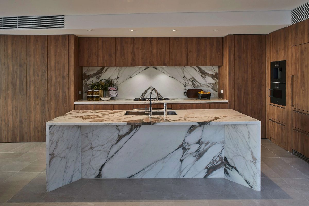
Darling Point · residential
Five apartments arranged around Sydney Harbour views, with two basement levels. Completed in 2021, with architecture and interiors by Xpace.
Checks for a riverside lot
NSW guidance lists riverfront and foreshore land among areas where complying development generally cannot be carried out. Since most of Huntleys Point carries River Front Area mapping, have a certifier assess the lot before you count on a faster approval.
For river front land, council's controls seek low impact siting that retains trees, rock outcrops and natural ground.
On sloping sites, council asks for sub floor areas seen from the water to be enclosed by a plinth in a contrasting material.
Council asks new development near clusters of contributory houses to be reasonably compatible with their setbacks and built pattern.
Council prefers native gardens near the water, with retaining and other structures kept modest and out of the main view.
Section through the site, then plan
On a lot that drops towards the river, the important drawings are the sections. They show how the floors meet the ground and what remains visible from the water.
Record levels, rock, trees and any sea wall. Note mapped foreshore building area and nearby heritage items so the consultants know what to assess.
Council's guidance asks that foundations seen from a waterway be enclosed as a plinth, finished in a material such as sandstone blocks. We work that base into the design rather than adding it at the end.
With large areas of road reserve nearby, we plan deliveries, skip locations and trade parking early. Any construction zone on the street itself needs a works zone permit from council.
Extend or replace
All 49 occupied homes the 2021 Census found in Huntleys Point were separate houses. That makes the house and its river frontage the centre of almost every brief here.
Additions on the waterside face the closest scrutiny under river front controls. We test height, glazing and planting from the water so the extension sits comfortably among the trees.
Where the planning certificate shows no heritage listing, comparing a rebuild with an addition becomes worthwhile. Council lists a group of contributory houses in the locality, so the neighbouring streetscape still matters.
Explore our work
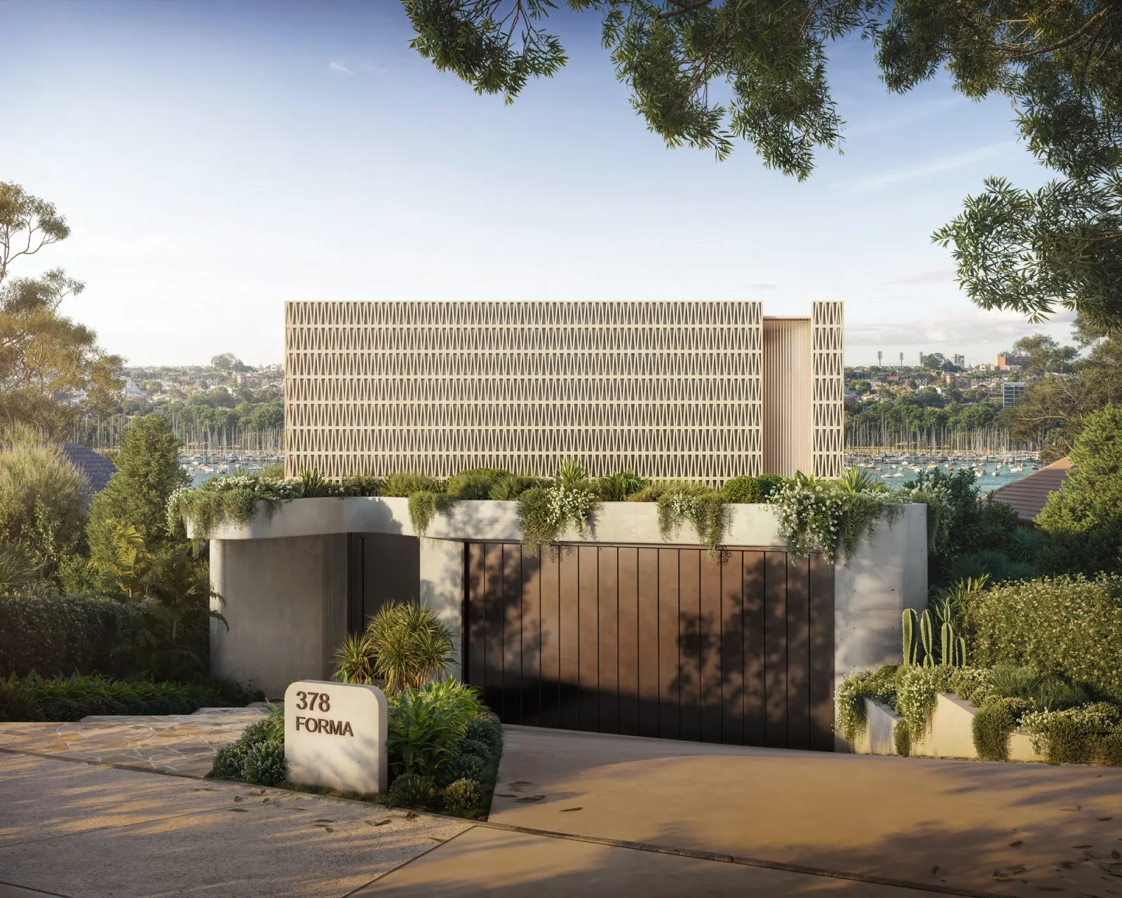
Drummoyne, NSW
Completion 2028
A house designed to step down towards the harbour behind a breeze block screen, with raw concrete retaining walls. Suburb centres approximately 1.6 km apart.
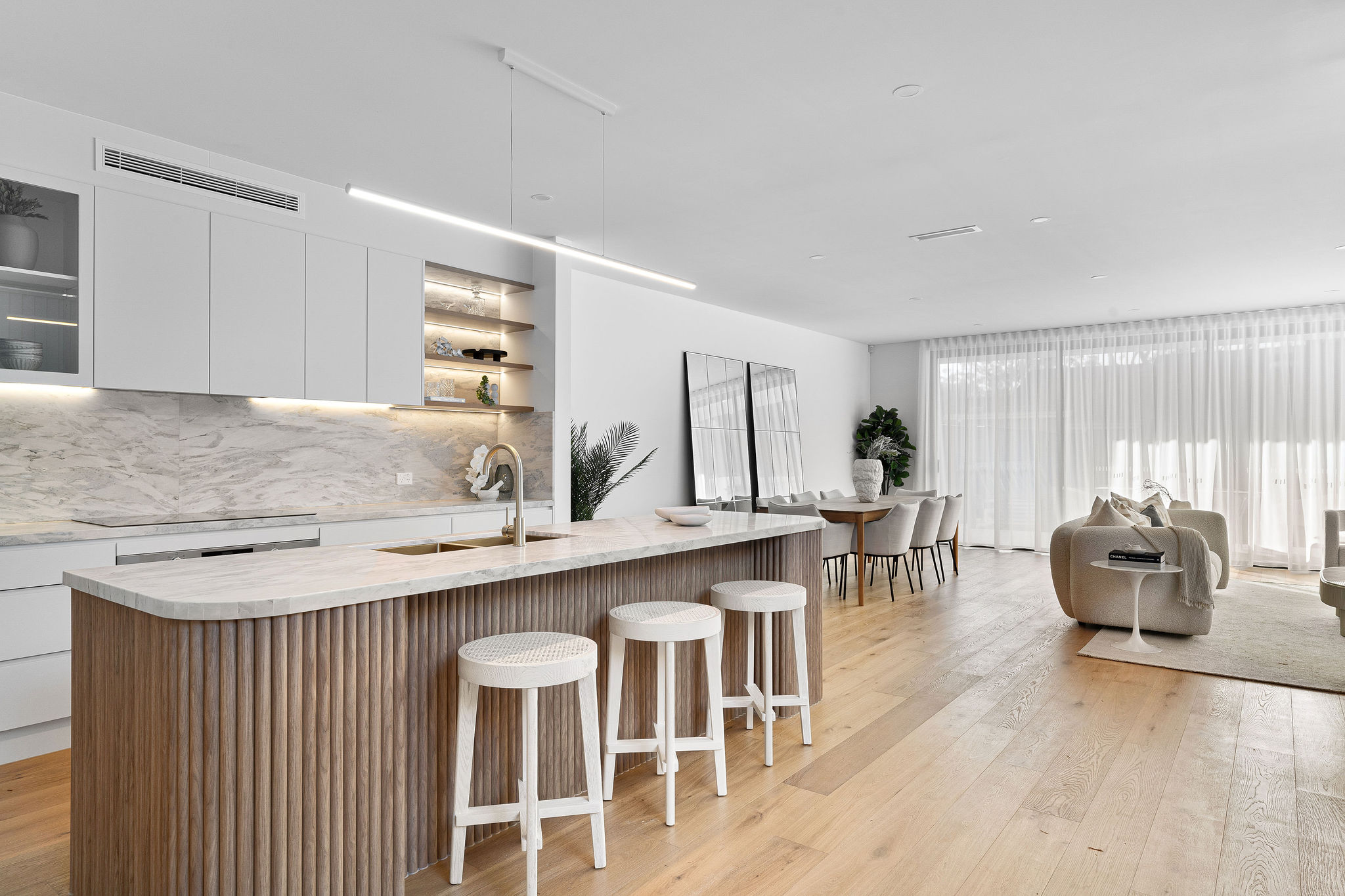
East Ryde, NSW
Completed 2024
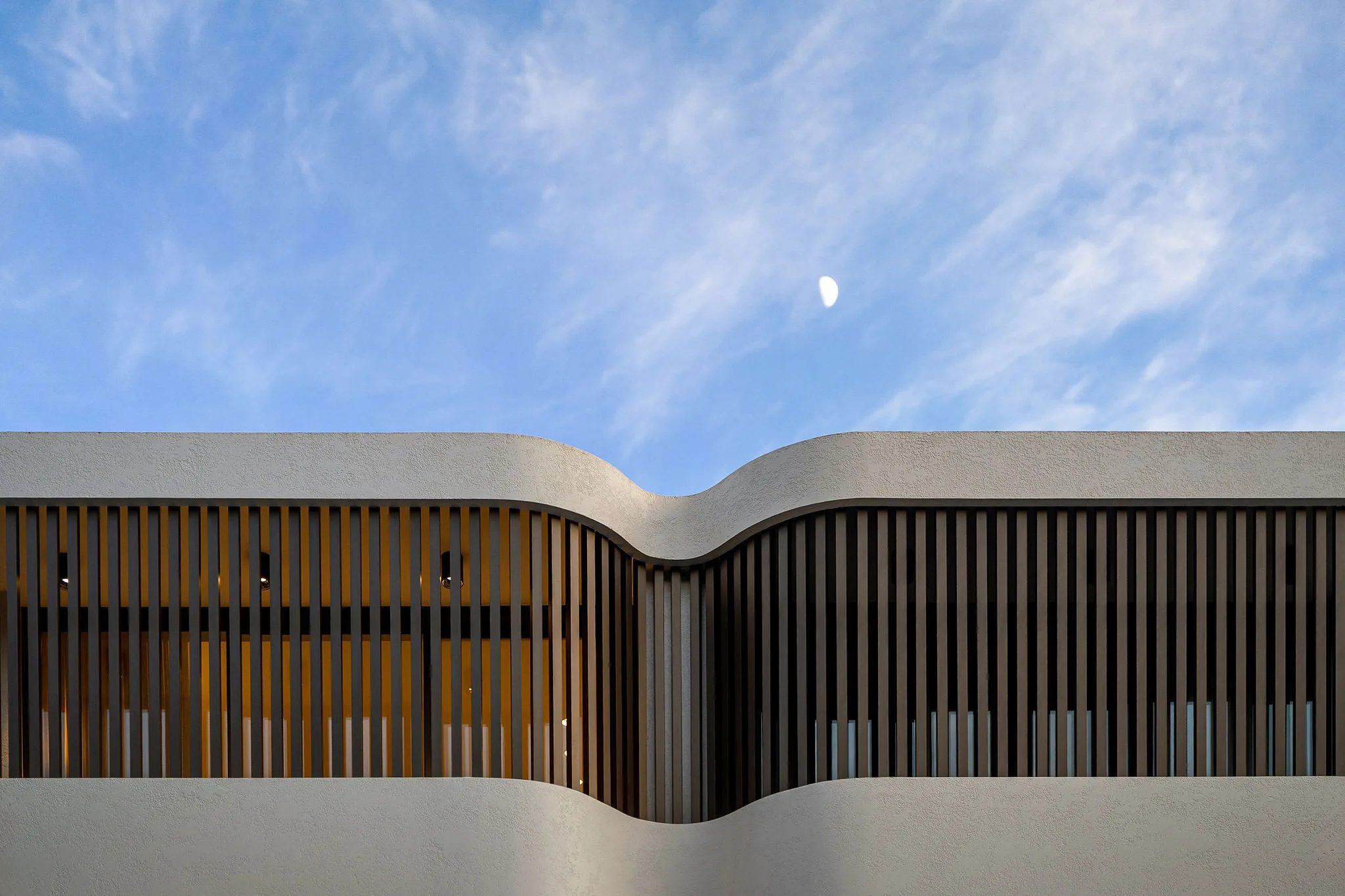
A completed home with a curved sandstone toned brick facade and black steel windows. East Ryde's centre is approximately 3.3 km from Huntleys Point's centre.
River, bridge approaches and older houses
Zoning across the locality is unusual for a residential suburb. In our sample, classified road land made up about 36% and educational land about 19%, with low density residential zoning at about 34%.
The heritage map records the remains of Gladesville Bridge, a Moreton Bay fig, stone walls and a point house and garden within or touching the boundary. Council also lists 12 contributory houses here, all within the River Front Area.
Questions to bring early
We found no heritage conservation area at any of our sample points in Huntleys Point. That differs from Hunters Hill suburb, where about half of our sample fell inside the Peninsula area. Your own planning certificate is still the test, since listed items and contributory houses sit nearby.
Council's guidance for sloping sites says foundations or sub floor areas visible from a waterway or public place should be enclosed as a base. It suggests finishes such as sandstone blocks that contrast with the walls above. On a waterfront lot that base becomes part of the riverside outlook.
Classified road land covers much of the locality, so access deserves early planning. We work out where trucks can stop, where materials are stored and whether a works zone is needed. Council's normal lead time for a works zone application is seven business days, with an urgency fee for shorter notice.
FORMA in Drummoyne, with completion listed for 2028, is designed to step down towards the harbour with raw concrete retaining walls. Our studio is its architect and also designed the interiors and facade. Drummoyne's centre sits roughly 1.6 km from Huntleys Point's centre as the crow flies.
From the front door to the shoreline