
A home we design and build.
Architects plan the layout and street face. Builders test structure, excavation and cost while everything is still on paper.

Putney / Family houses by the Parramatta River
Putney is almost entirely houses, many of them big family homes. We can design and build your renovation or new house, with the river edge checked only where it applies.
LIME / North Ryde / Completed 2023
01 / The proposition
For a Putney owner planning to stay, we start a design with how the household will use the home. In 2021 the Census recorded 83.9 per cent of Putney's occupied homes as separate houses. Flats made up under 1 per cent. Some 58.3 per cent of homes had four bedrooms or more.
That points to particular kinds of work: a major renovation, a second storey or a replacement house on an existing block. We plan each one around how your household actually lives.
Inland street or water's edge
The residential points in our mapped sample of Putney returned the same controls. Low density zoning applied, with buildings capped at 9.5 metres, with floor area held to half the site area. Controls can still vary between streets, so yours gets its own check.
Only some lots feel the river. A foreshore building line is mapped along the waterfront edge. We find out whether your block meets it before anything is planned towards the water.
Select a pin or drag to explore
Map data: Esri, HERE, Garmin · © OpenStreetMap contributors
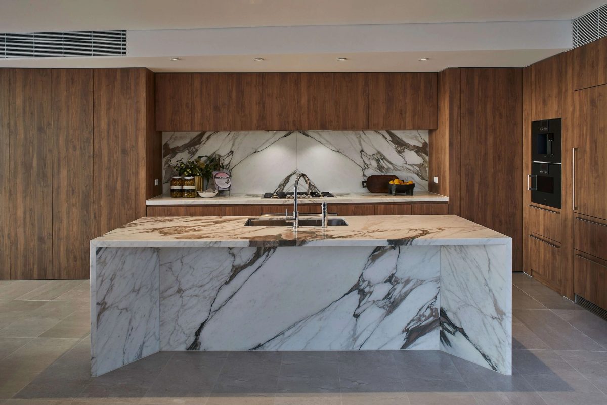
Darling Point · residential
Five apartments arranged around Sydney Harbour views, with two basement levels. Completed in 2021, with architecture and interiors by Xpace.
Before we design
Putney lies entirely inside the City of Ryde. Its residential streets were consistent in our samples. The differences worth knowing come from the shoreline, the ground and the listed places nearby.
Mapped river frontage carries a building line 15 metres inland of the mean high water mark. Within the foreshore area, the LEP restricts development to purposes like altering an existing building, boat sheds or pools. Appearance from the water forms part of council's assessment.
Roughly 6 per cent of Putney is mapped Class 2, concentrated near the bay. There, works below natural ground or likely to lower the watertable can need consent and a soils management plan, unless a clause 6.1 exception applies. Most remaining land is Class 5, which concerns works within 500 metres of adjacent Class 1 to 4 land below 5 metres AHD that are likely to lower its watertable below 1 metre AHD.
Ryde's housing guidance asks for deep soil across at least 35 per cent of the lot, including an 8 by 8 metre space in the backyard. That shapes where pools, sheds and paving can go.
Putney has no conservation area, so some inland projects may qualify for complying development. Class 2 land and riverfront areas are usually excluded. We have a certifier confirm the lot and design before relying on that path.
Project rhythm
Big family houses bring big briefs. We keep early decisions simple so time goes into the rooms you use.
We go room by room with you. Bedrooms, a home office or space for visitors might top the list.
The planning certificate, survey and soil maps come next. Ground close to Morrisons Bay carries the tighter acid sulfate class.
Ryde's housing guidance sets two storeys, a deep soil area of 35 per cent or more and caps on cut and fill. Our layouts respect them from day one.
Builders price the agreed design, sequence the trades and keep you informed until the keys change hands.
Choose how we help
Say whether you need a design or already hold one. We spell out exactly what our team will cover.
Architects plan the layout and street face. Builders test structure, excavation and cost while everything is still on paper.
Bring drawings and any approval. We look for site, soil and program risks, then define the construction scope.
Explore our work
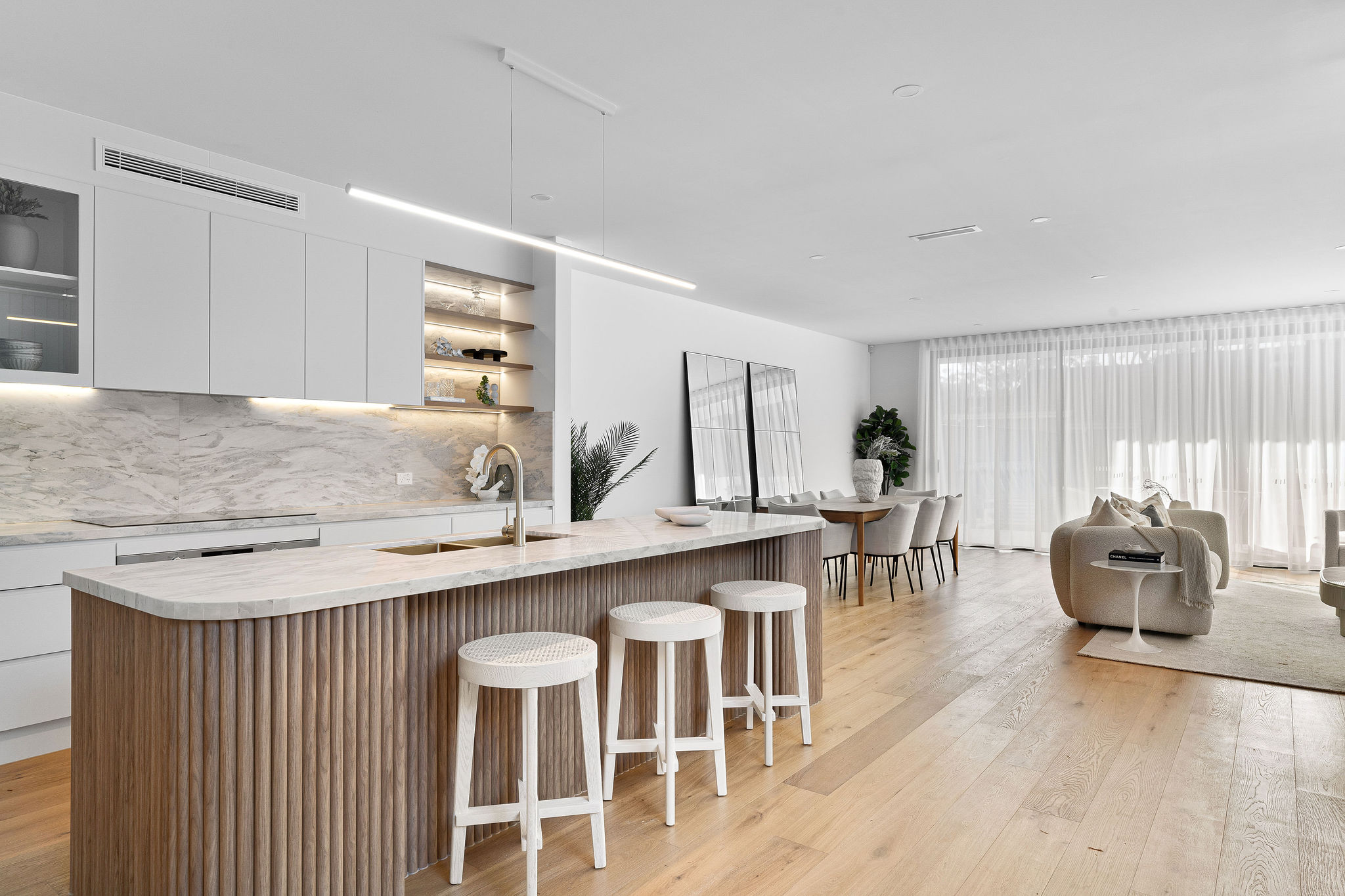
East Ryde, NSW
Completed 2024
Completed 2024, with architecture, interiors and facade by SHORE. Its rounded brick corner carries through to a curved kitchen island inside. East Ryde's centre is about 3.3 kilometres from Putney's in a straight line.
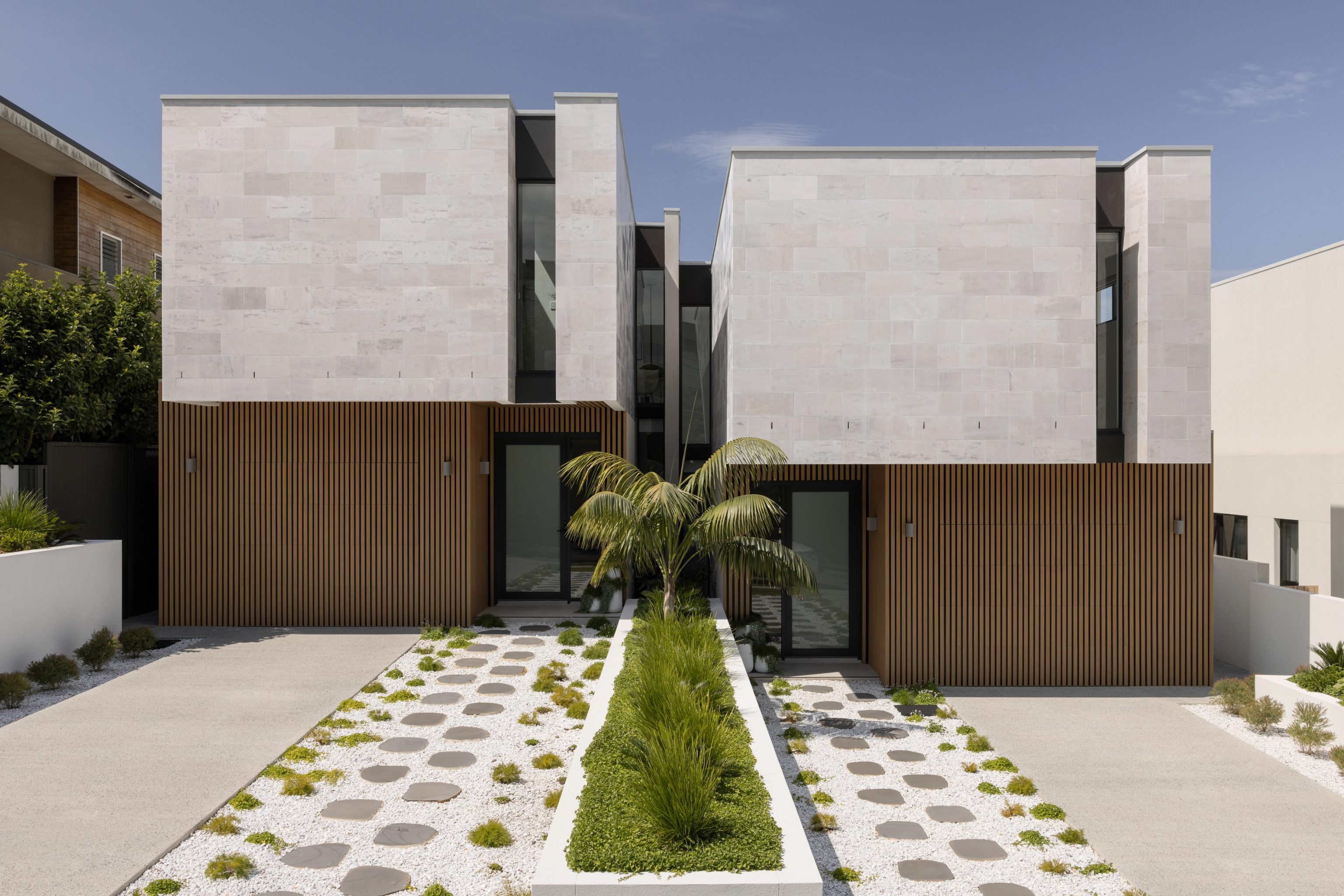
North Ryde, NSW
Completed 2023
Completed 2023, with architecture, interiors and facade by SHORE. A double brick family home with a mudroom and a sunken living area. The suburb centres are about 4.2 kilometres apart.
Parks, the punt and the bay
Putney has no mapped heritage conservation area. Several local places are listed, including Putney Park, Kissing Point Park, Morrisons Bay Park, Cleves Park and the punt at Mortlake Ferry. The old brewery and boat yard site on the river appears in the schedule too.
A neighbouring house is not listed by association. Council may still weigh how a new design sits beside the listed place.
Questions to bring early
It depends on whether the mapped foreshore line or foreshore area affects your land. We check the mapped boundary against the survey. None of our inland samples returned a foreshore feature. For river frontage, the mapped line is measured 15 metres from the mean high water mark and restricts building in front of it.
A replacement house is often possible within the low density controls. We confirm the mapped height, floor space and any listing for your land first. Whether a council application is needed then depends on how the site and design measure up.
The park is listed. Houses around it are not automatically caught. Council can look at how new work alters the setting of a listed neighbour, so we test scale and park views early.
On Class 2 land, mostly near Morrisons Bay, works below natural ground or likely to lower the watertable can need consent plus a management plan. Clause 6.1 has exceptions, including a preliminary assessment accepted by council and very small works. Class 5 covers most of Putney and applies only to works likely to lower the watertable on nearby low lying Class 1 to 4 land. We check the class and exceptions before pricing a pool or basement.
Your next house or this one improved