Skip to page content
SHORE

Council guide / Hornsby Shire

Builders across the Hornsby Council area for ridgeline blocks and bushland settings

Native bushland, steep sandstone slopes and established family streets shape how a home here is sited and engineered. This guide explains how local planning rules, bushfire categories and overland flow paths affect your build.

LIME / North Ryde / Completed 2023

01 / The proposition

Designing for sandstone ridges, leafy valleys and river reaches

We design and build custom homes for owners across the Hornsby Council area, from leafy ridgelines and sloping bushland sites to established residential streets. The Shire spans distinct settings that run from the suburban neighbourhoods of Pennant Hills and Beecroft through to the semi-rural acreage of Galston and the quiet water frontages of the Hawkesbury River. Each landscape brings a different set of site conditions and planning rules.

Detached family houses dominate the local housing stock. According to 2021 Census data, separate houses account for 69.5% of all occupied homes in the Shire, while apartments represent 21.9% and semi-detached or terrace houses make up 8.3%. Almost half of all local homes have four or more bedrooms. With so many substantial family homes, the projects that suit this Shire are usually major alterations, split-level hillside additions or new custom homes.

We design and construct whole homes, multi-generational additions and extensive renovations. Where clients bring plans from an external architect, we collaborate to build strictly to their specifications.

Evaluating your block

Three factors that guide every Hornsby build

First, confirm municipal borders before planning. Part of Beecroft lies in the City of Parramatta and part of Dural lies in The Hills Shire, so verifying which municipal controls govern your land title is an essential early step. Second, determine your bushfire classification. Over four fifths of the Shire is mapped as bushfire prone land, which directly influences external cladding selections, window glazing specifications, subfloor protection and dedicated water storage. Third, assess topography and stormwater flow. Sandstone bedrock and natural overland gullies require engineered stepped footings and clear drainage design before drawings are completed.

Our portfolio does not currently feature a completed project within the Hornsby LGA. Finished and active residential builds in neighbouring Eastwood, Carlingford and North Ryde are outlined below.

SHORE Design + Build Architectural Cartography

Loading Architectural Map...
SHORE DESIGN + BUILD · LOCATIONS ARE APPROXIMATE

Select a pin or drag to explore

Map data: Esri, HERE, Garmin · © OpenStreetMap contributors

ALOFT project in Darling Point
Loading photo…
Completed 2021

Darling Point · residential

[ ALOFT ]

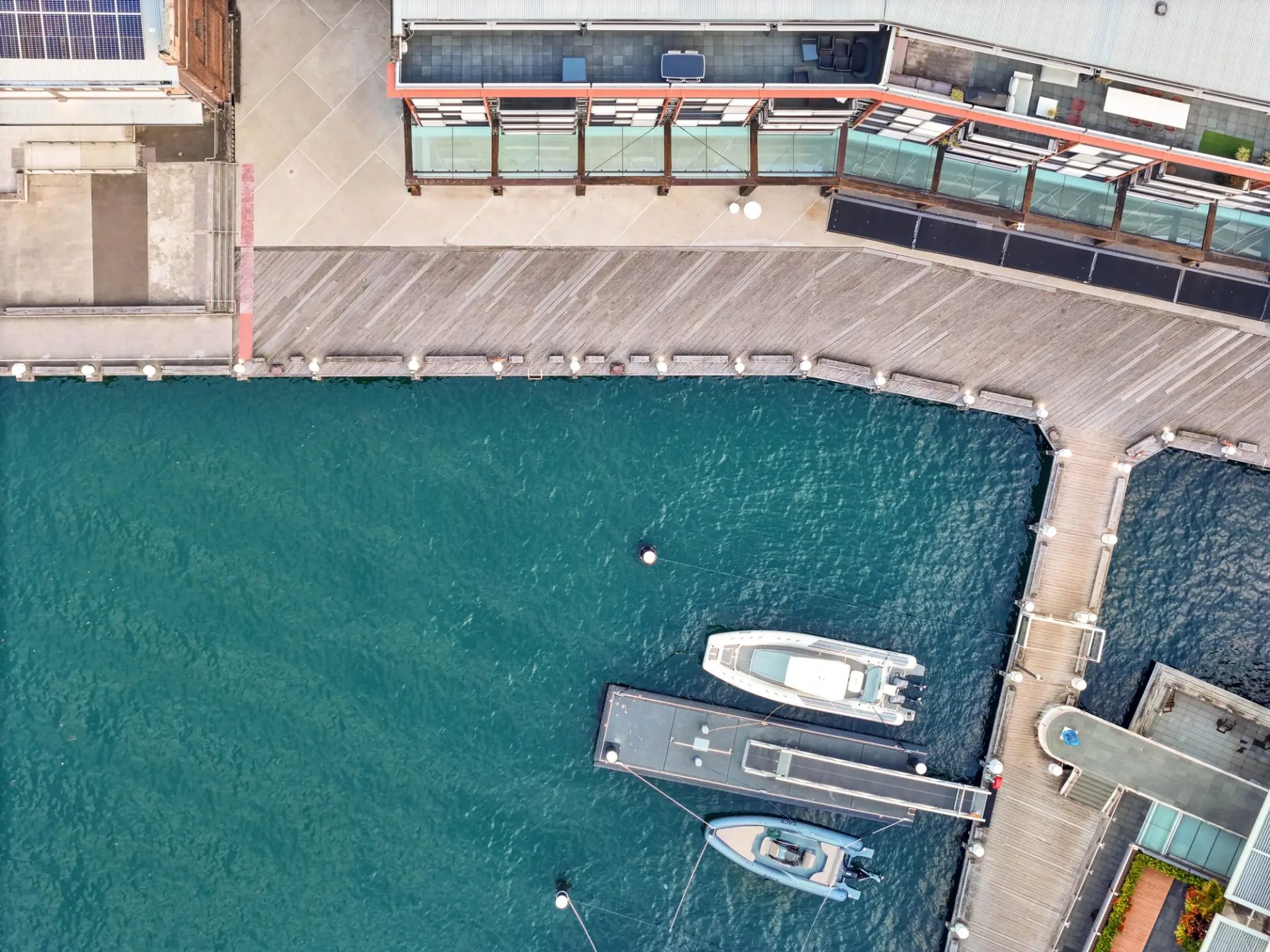
Five apartments arranged around Sydney Harbour views, with two basement levels. Completed in 2021, with architecture and interiors by Xpace.

Map locationDarling Point · Indicative location
Xpace (Architecture & Interiors) · SHORE (Construction Delivery)
Explore project details

Planning framework

Statutory controls shaping Hornsby residential projects

Residential planning across the Shire combines statutory height and subdivision limits in the local plan with detailed building envelope, setback and landscaped area standards in the development control plan.

  1. 01

    Low density housing controls rely on the development control plan.

    For standard low density residential blocks in the R2 zone, the local plan maps a building height of 8.5 metres across most of this land and does not set a statutory floor space ratio. Instead, building mass, upper floor setbacks, maximum site coverage and soft landscaping ratios are governed by the Hornsby Development Control Plan 2024.

  2. 02

    Dual occupancy development carries strict lot size thresholds.

    Under clause 4.1C of the local plan, attached dual occupancies in the R2 zone require a minimum lot size of 700 square metres, increasing to 800 square metres inside a heritage conservation area. Detached dual occupancies require 800 square metres on standard land and 900 square metres within heritage precincts. Subsequent subdivision under clause 4.1D requires at least 350 to 450 square metres per resulting lot.

  3. 03

    Conservation areas protect suburban garden streetscapes.

    The local plan schedules eight distinct heritage conservation areas, covering established pockets such as Beecroft, Cheltenham, Pennant Hills and Hornsby West Side. In these precincts, building designs must respect traditional roof forms, established front garden depths and traditional materials, while garages must remain secondary to the main dwelling facade.

  4. 04

    Bushfire and overland flow shape site planning.

    Bushfire hazard mapping covers more than four fifths of the LGA, dictating resilient materials and ember screening under AS 3959. Overland flow is also widespread. Council's draft floodplain study of 38 urban catchments found 3,872 properties that may be affected by overland flow or flooding. Beside tidal waters such as the Hawkesbury River and Berowra Creek, habitable floors must sit at least 0.5 metres above the 1 in 100 year flood level.

Our delivery approach

From site assessment to practical completion

Building on sloping ground or near bushland reserves requires thorough technical preparation. We structure each stage to resolve planning constraints and site access early.

  1. Statutory and title investigation.

    We inspect land title, local planning overlays, bushfire attack levels and heritage mapping under Hornsby LEP 2013 and HDCP 2024.

  2. Topographical and footing design.

    Stepped foundation plans, sandstone excavation and retaining structures are resolved with structural engineers to suit your parcel's natural slope.

  3. Approval documentation.

    We coordinate all required reports including bushfire assessments, overland flow modelling, ecological checks and arboricultural surveys for council lodgement.

  4. Site management and construction.

    Dedicated site supervision manages trade sequencing, tight ridge road access and material deliveries through to final handover.

Engagement models

Select your project route

Whether you are beginning with initial concepts or hold an approved architectural plan, we offer flexible delivery routes to match your project stage.

Integrated architectural design and construction.

We lead the entire journey from initial concept sketches and planning approvals through to bespoke construction. This path suits owners seeking single source accountability for cost control, council compliance and architectural craft.

Building from your independent architectural drawings.

If you already have plans prepared by an architect, we provide detailed constructability reviews, structural trade pricing and transparent contract management to build your home to specification.

Explore our work

Completed and active builds in neighbouring northern districts

[ ASH ]

[ ASH ]

Eastwood, NSW

Completed 2022

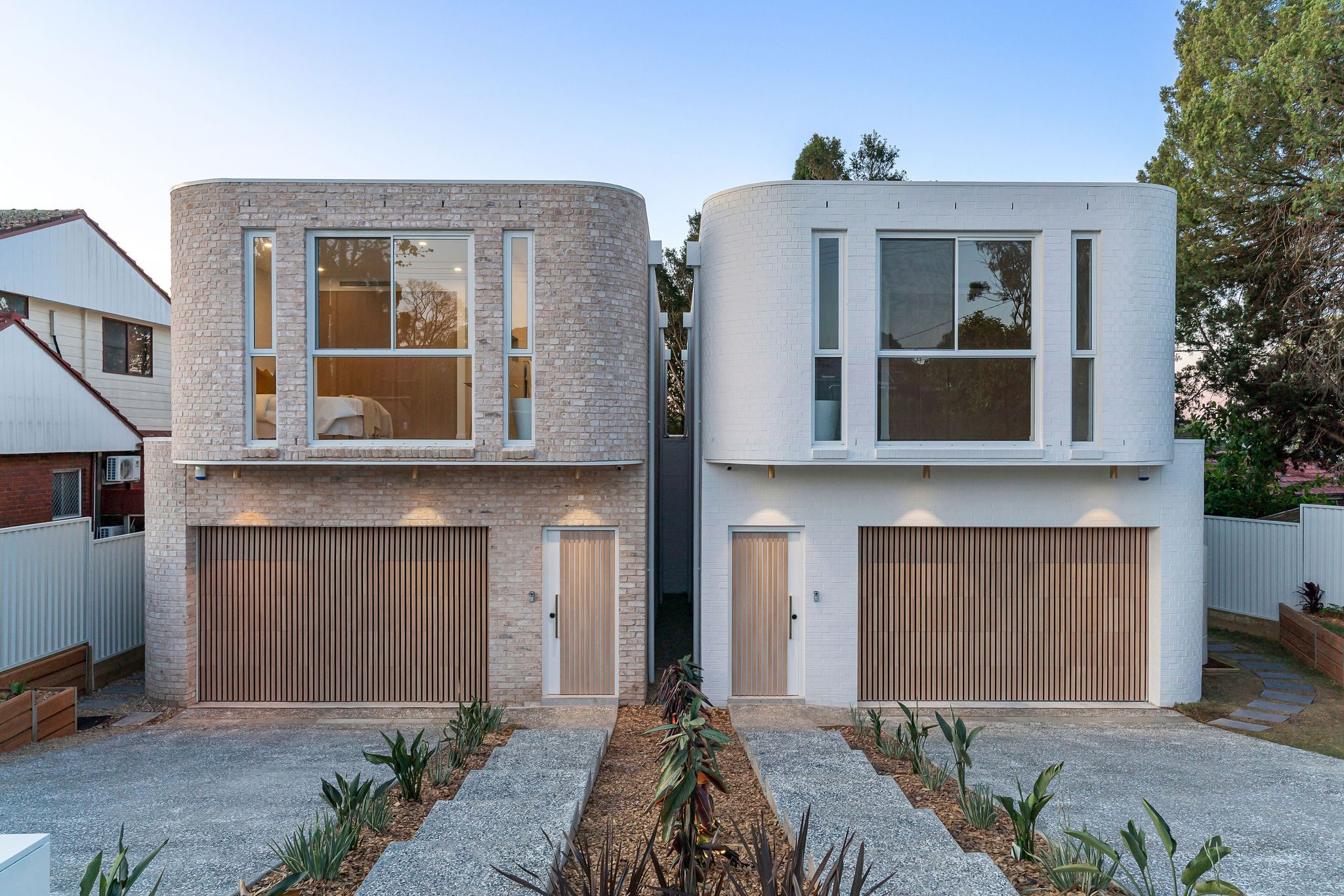
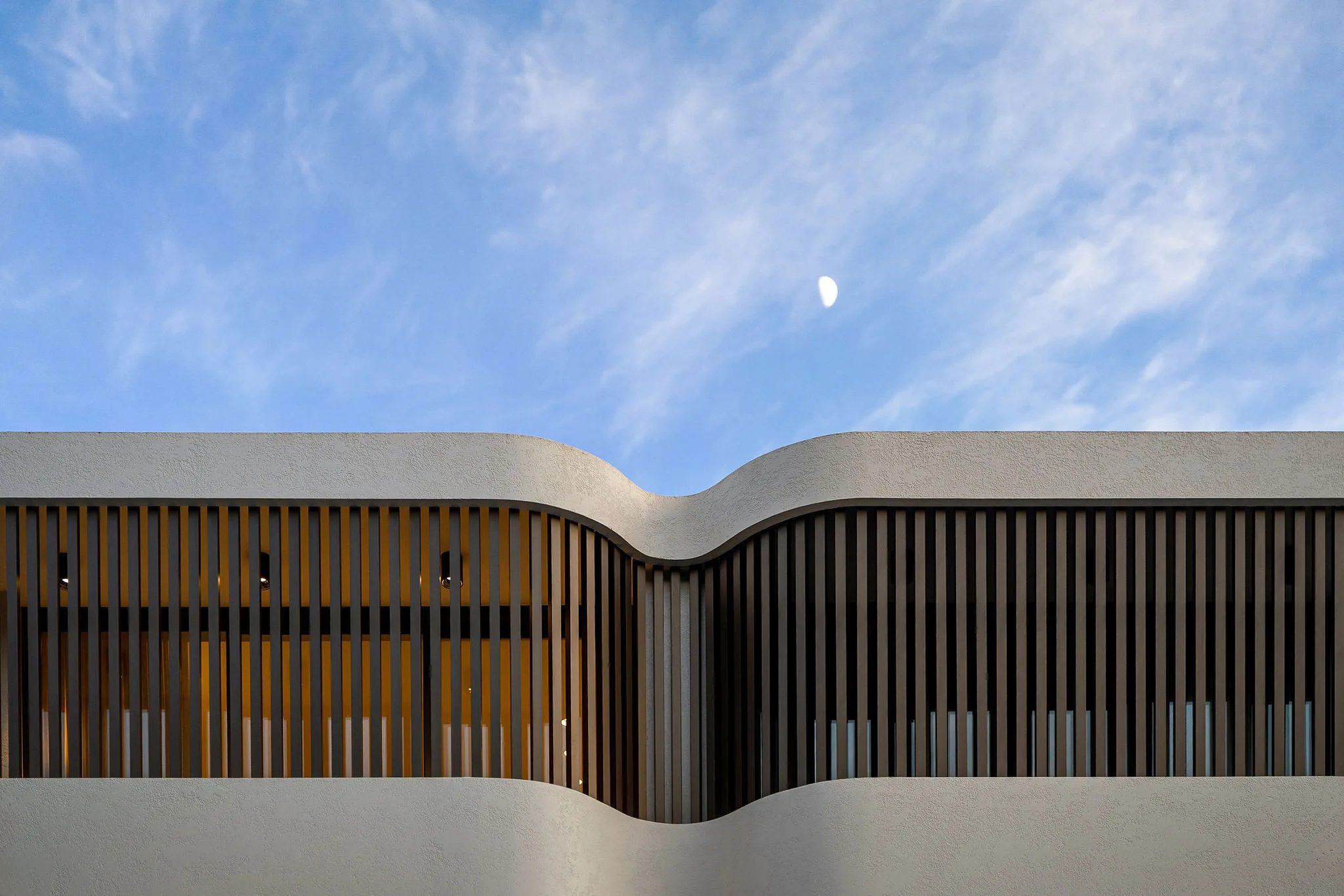
A sculptural duplex in Eastwood completed in 2022, with curved walls and elliptical windows. SHORE designed the interiors and facade and built both homes. Eastwood is about 3.6 kilometres from Cheltenham in a straight line between the calculated centres of the two suburb areas.

Interiors & facade
SHORE
[ SOLICE ]

[ SOLICE ]

Carlingford, NSW

Under Construction

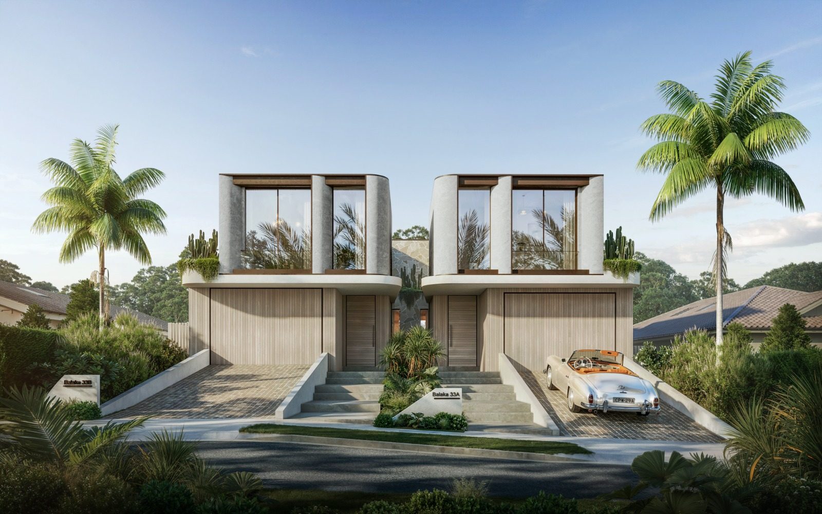
A contemporary dual occupancy in Carlingford currently under construction. Architecture and interior design are by SHORE and SHORE is constructing both residences. Carlingford is about 2.9 kilometres from Beecroft in a straight line between the calculated centres of the two suburb areas.

Architecture
SHORE
Interiors & facade
SHORE
[ LIME ]

[ LIME ]

North Ryde, NSW

Completed 2023

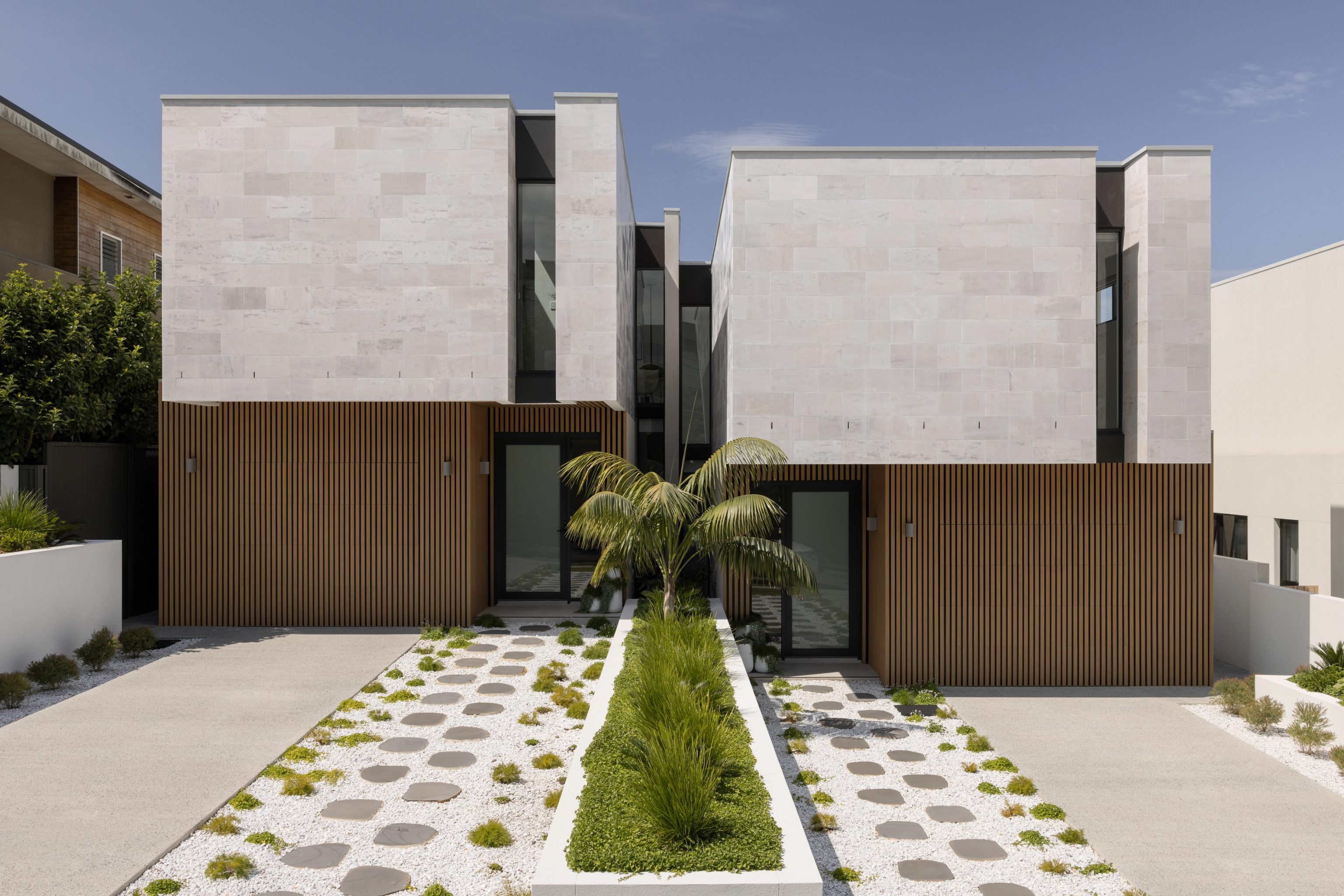
A limestone clad custom residence in North Ryde completed in 2023. SHORE led the architectural design, interior detailing and construction. North Ryde is about 5.3 kilometres from North Epping in a straight line between the calculated centres of the two suburb areas.

Architecture
SHORE
Interiors & facade
SHORE

30 localities

Suburbs within the Hornsby Council area

Our residential building services cover all 30 suburbs our service directory places in Hornsby Shire: Arcadia, Asquith, Beecroft, Berowra, Berowra Heights, Berowra Waters, Berrilee, Brooklyn, Canoelands, Cheltenham, Cherrybrook, Cowan, Dangar Island, Dural, Fiddletown, Forest Glen, Galston, Hornsby, Hornsby Heights, Laughtondale, Milsons Passage, Mount Colah, Mount Kuring-gai, Normanhurst, North Epping, Pennant Hills, Singletons Mill, Thornleigh, Waitara and Westleigh.

These localities range from dense transport nodes near the railway line to expansive semi-rural properties and remote riverfronts. Certain border suburbs including Beecroft and Dural cross into neighbouring municipalities. We verify your exact parcel authority and planning scheme before starting design work.


Questions to bring early

Local questions for Hornsby Shire property owners

Does Hornsby Shire allow dual occupancy development and subdivision?

Yes on many lots. Hornsby's local plan does not list dual occupancies in its R2 zone; they come from section 166 of the Housing SEPP, which does not reach bushfire prone land or a lot holding a heritage item. Where a pair is allowed, Hornsby LEP 2013 sets minimum site areas. For properties in the R2 low density residential zone, attached dual occupancies require at least 700 square metres on standard lots or 800 square metres in a heritage conservation area. Detached dual occupancies require 800 square metres or 900 square metres respectively. Once a dual occupancy has been lawfully built, council may consent to subdividing it under clause 4.1D if each new lot meets the minimum area and holds one dwelling. Within 800 metres' walk of Hornsby or Waitara station, State low and mid rise standards can permit smaller lots.

How do bushfire protection regulations affect our new home design?

Because a large proportion of Hornsby Shire borders national parks and bushland reserves, new homes and major additions often require a bushfire assessment report. Depending on your property's calculated bushfire attack level, the design may need non-combustible external wall materials, toughened window glazing, metal ember screening and a dedicated static firefighting water supply. We integrate these technical protective measures into the architecture from the earliest sketches.

My property slopes downward toward a bushland reserve. How is that handled?

Steep sandstone slopes are common along the Shire's residential ridges. We design homes that step with the natural topography using split levels and suspended floors rather than relying on deep benching or massive retaining walls. This approach reduces excavation costs, prevents structural damage from groundwater seepage and protects native trees while capturing expansive valley views.

Is complying development under a CDC feasible on my property?

While simple works on unconstrained, level land may qualify for a fast-track complying development certificate, many Hornsby properties are excluded. The Housing Code excludes new houses and additions in the eight heritage conservation areas, land in a foreshore area and sites assessed at BAL-40 or the flame zone. Flood control lots need certification from council or a hydraulic engineer and extra standards before a certificate can issue. For most extensive alterations, split-level builds and custom homes across the Shire, a tailored development application through Hornsby Shire Council provides the appropriate approval route.

Initial consultation

Plan your Hornsby Shire build with us

Share your site address, architectural ideas and known property conditions. We will assess your zoning, bushfire rating and topography to outline practical next steps before commencing sketches.

Enquire about your build
AboutProjects