Adding to the house you have.
In Penshurst or the O'Brien's Estate part of Hurstville, conservation rules usually favour keeping the existing dwelling. We plan additions that respect the house and its street.

Council guide / Georges River
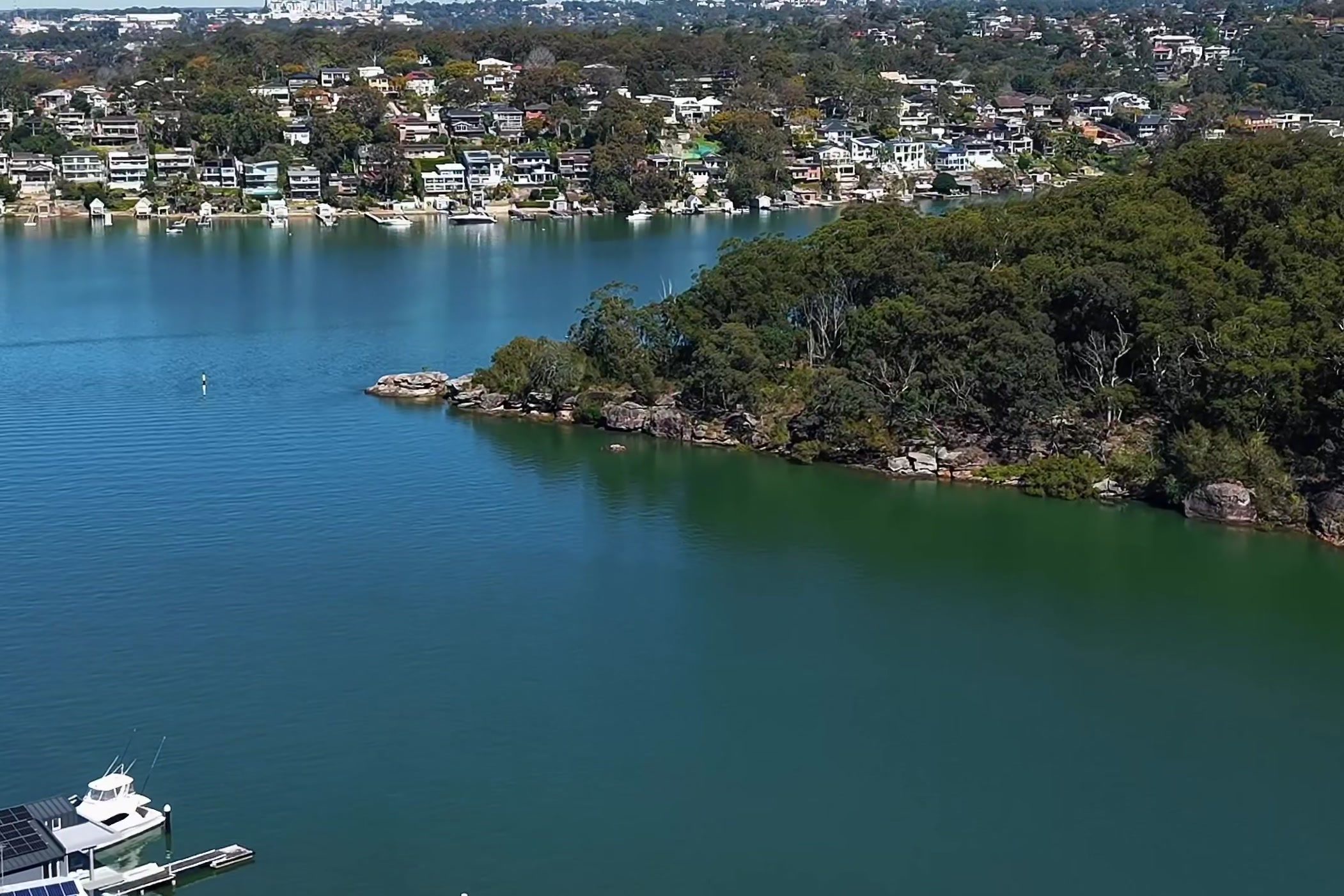
Some homes here look across the water from a steep, leafy bank. Others sit in established streets a short walk from the train. We plan each one around the rules its own lot carries, then build it.
CHALK / Beverly Hills / Completed 2026
01 / The proposition
Anyone comparing builders for a Georges River Council property soon meets two settings. Along the river, many lots fall towards the water among trees and sandstone outcrops. Inland, around Penshurst and Mortdale, many streets sit close to railway stations and small shopping centres.
The same council plan covers both. Yet a riverfront lot in Connells Point can face scenic and foreshore controls written for the river's edge. A Penshurst lot may instead fall inside a heritage conservation area.
This guide explains where those differences start. It does not replace advice for your own property. We confirm that advice before we design.
River or inland
Begin with your suburb and whether the land touches the river. Then check the council maps for a foreshore building line, bushfire mapping, flood advice and heritage. Two of our projects are in suburbs on this list. CHALK in Beverly Hills was completed in 2026. TIDE in Connells Point is still under construction. Use them to compare materials and planning, not as a forecast for your block.
Measured in a straight line between suburb centres, Penshurst is about 1.9 km from Beverly Hills. Oatley is about 1.9 km and Blakehurst about 1.6 km from Connells Point.
Select a pin or drag to explore
Map data: Esri, HERE, Garmin · © OpenStreetMap contributors
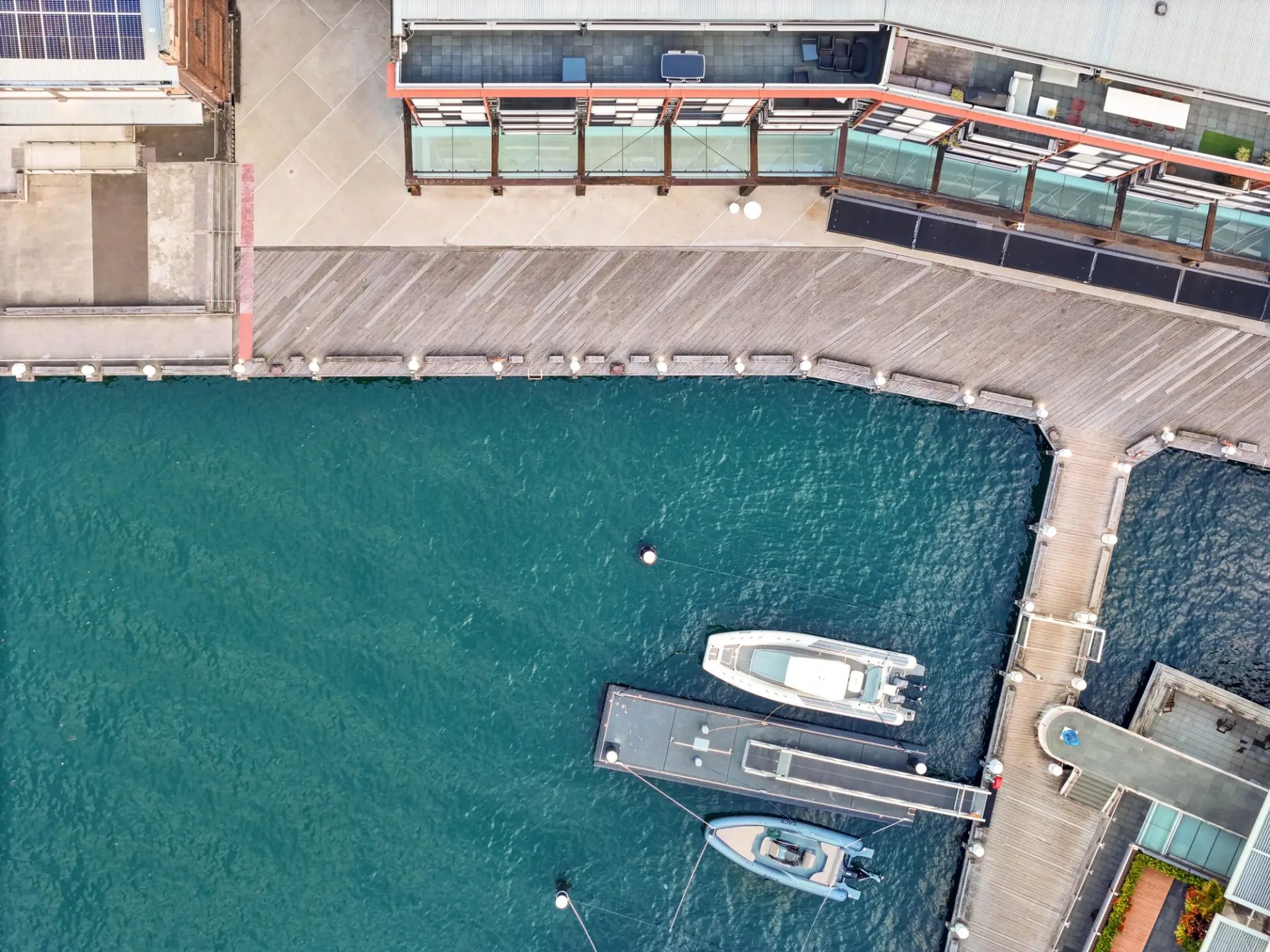
Darling Point · residential
Five apartments arranged around Sydney Harbour views, with two basement levels. Completed in 2021, with architecture and interiors by Xpace.
What the council plans say
Most residential land here is zoned R2 and often mapped with a 9 metre maximum height. Floor space, lot size and landscaping rules then vary with lot size, location and whether the land sits in the scenic foreshore area. Treat the map as a starting point and confirm every figure for your own lot.
Where the map shows one, a rebuilt house generally cannot push its footprint further towards the water than the existing one. The line's distance from the water changes from street to street.
In the scenic protection area, facades facing the water balance glass with solid wall. White or light roofs and walls are not permitted. Retaining walls near the water are restricted too.
Council generally will not back demolition of a contributory or neutral dwelling there unless a structural report shows it is unsound. New work must show how it respects the area's heritage values.
For new homes and additions, the Housing Code route to a complying development certificate is closed in a foreshore area. It is also closed in a heritage conservation area, apart from pools and some detached structures. Acid sulfate soils mapped as Class 1 or Class 2 close it too, among other exclusions. These can affect part of a lot only, so we check your property before choosing a route.
Groundwork for the design
Here, the slope, the trees and the water's edge can each limit what a design may do. So our early work puts the lot's limits on paper first.
We note the zone, the mapped height and floor space figures and any foreshore line. Then we look for heritage, bushfire and acid sulfate soil mapping that can change the approval route.
A detailed survey shows the fall of the land, significant trees and any sandstone shelves. On steep ground, council expects the building to follow the fall of the land rather than cut deep into it.
Where flooding is possible, council can give flood level advice for the property. Near tidal water, the development control plan sets minimum floor heights above the flood level.
Once the constraints are clear, we fix the rooms, materials and structure. The quote then names what is still to be investigated.
Two kinds of project
Most people come to us either with an older house worth keeping or with a lot ready for something new.
In Penshurst or the O'Brien's Estate part of Hurstville, conservation rules usually favour keeping the existing dwelling. We plan additions that respect the house and its street.
We first test whether rebuilding is allowed and how far forward the new footprint can go. On waterfront land, that includes the foreshore building line, scenic controls and colour limits.
Explore our work
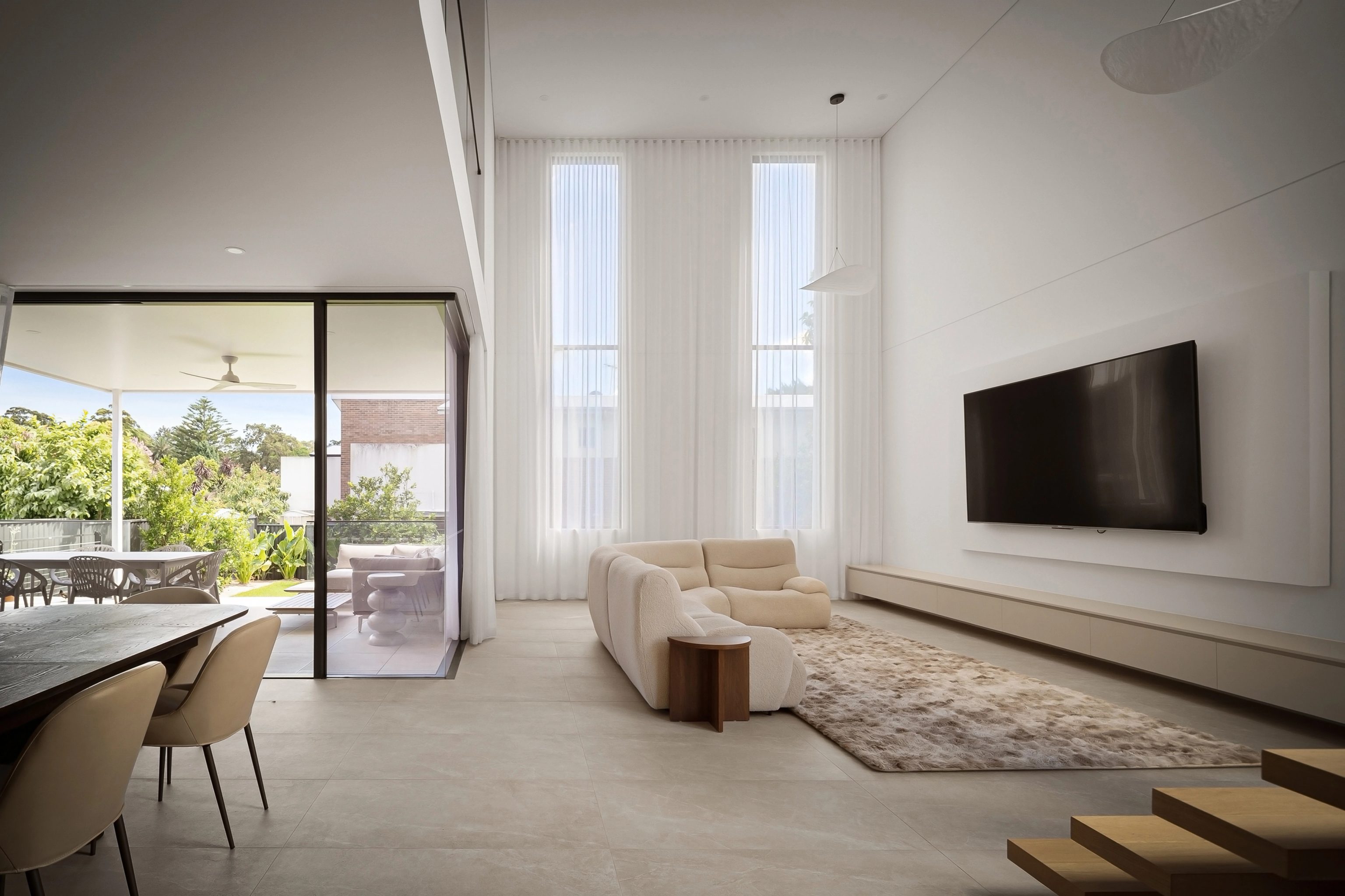
Beverly Hills
Completed 2026
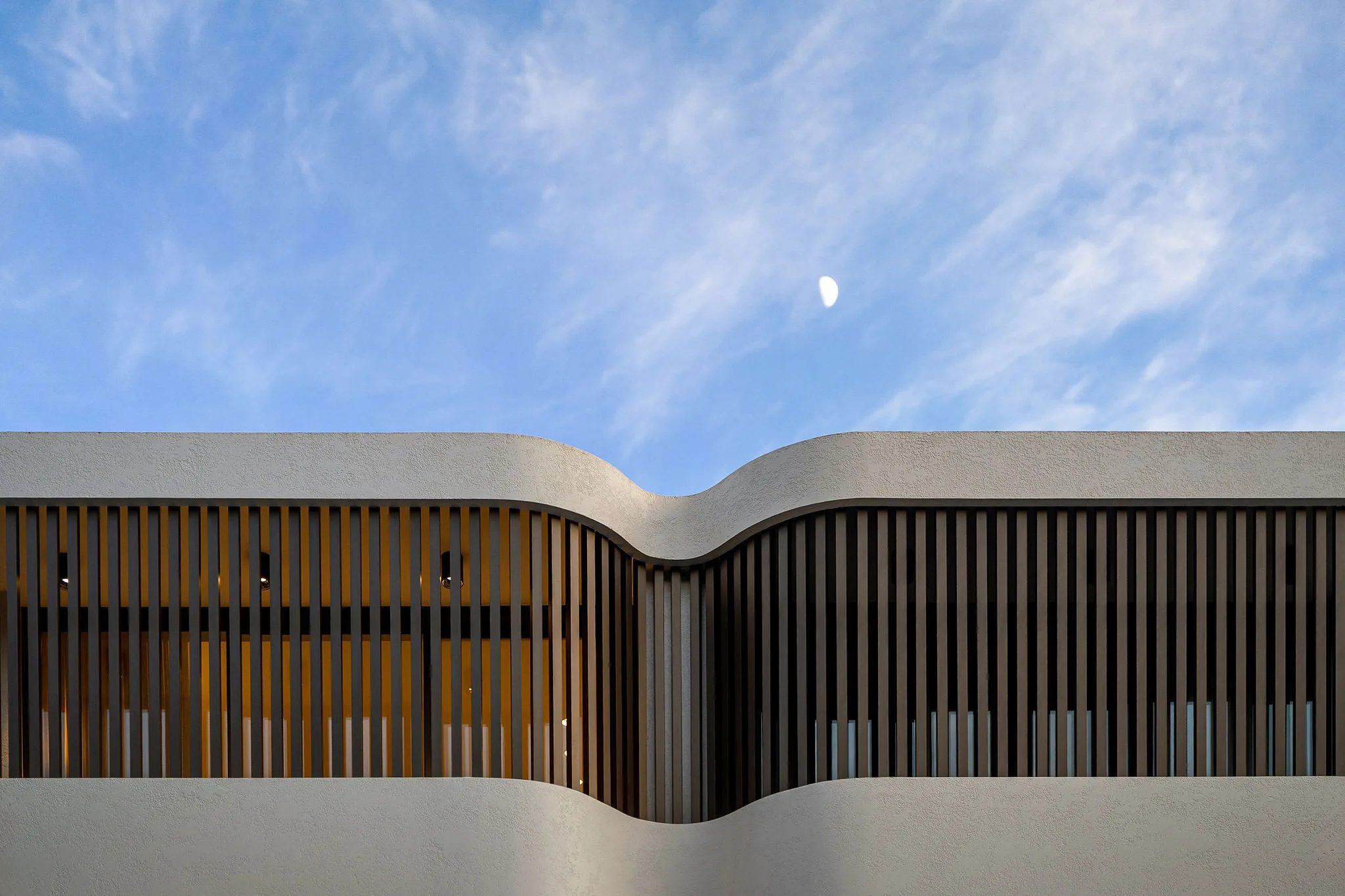
A Beverly Hills home completed in 2026, with a curved white brick drum, rendered upper level and Venetian plaster inside. SHORE led the architecture, interiors and facade.
Connells Point, NSW
Under construction
A riverfront residence in Connells Point, currently under construction, planned so its main rooms open to the Georges River. SHORE leads the architecture, interiors and facade.
Eighteen suburbs
Allawah, Beverley Park, Beverly Hills, Blakehurst, Carlton, Carss Park, Connells Point, Hurstville, Hurstville Grove, Kogarah Bay, Kyle Bay, Lugarno, Mortdale, Oatley, Peakhurst, Peakhurst Heights, Penshurst and South Hurstville.
Parts of Beverly Hills and Carlton fall within neighbouring councils, so we check which council covers your lot first. Hurstville's city centre is also covered by a separate chapter of the council's development control plan.
The housing mix differs sharply too. In the 2021 Census, separate houses were about nine in ten occupied dwellings in Connells Point and Lugarno. In Hurstville they were about three in ten, with apartments the majority.
Questions to bring early
No. Part of Beverly Hills lies in Canterbury-Bankstown and part of Carlton lies in Bayside. The two neighbouring councils apply different local plans, so we confirm the council for your lot before relying on any control.
Generally not if the map shows a foreshore building line there. The local plan keeps a rebuilt footprint no further forward than the existing one, apart from limited exceptions. The line sits at different distances along the river, so we read it for your lot.
In the scenic foreshore area, the council's controls ask for dark, earthy colours and do not permit white or light roofs and walls. Water facing facades also need a balance of glass and solid wall. These controls apply in the scenic foreshore area, not across the whole council.
If the house is in the Penshurst conservation area, demolition needs consent. Council is unlikely to accept demolishing a contributory or neutral dwelling without a structural report showing it is unsound. In that case, we look first at extending the existing house.
For houses in low density areas, council limits cut and fill to 1 metre from existing ground, except for a basement car park. Sites falling more than 1 in 10 are expected to use a split level design. We plan the structure around those limits from the start.
Your first step