Skip to page content
SHORE

Council guide / Sutherland Shire

Builders for coastal homes and bushland properties in the Sutherland Shire council area

Suburban family blocks, steep river valleys and coastal headlands give the Shire its character. Siting, bushfire protection and slope management decide what you can build. This guide covers the controls before you design.

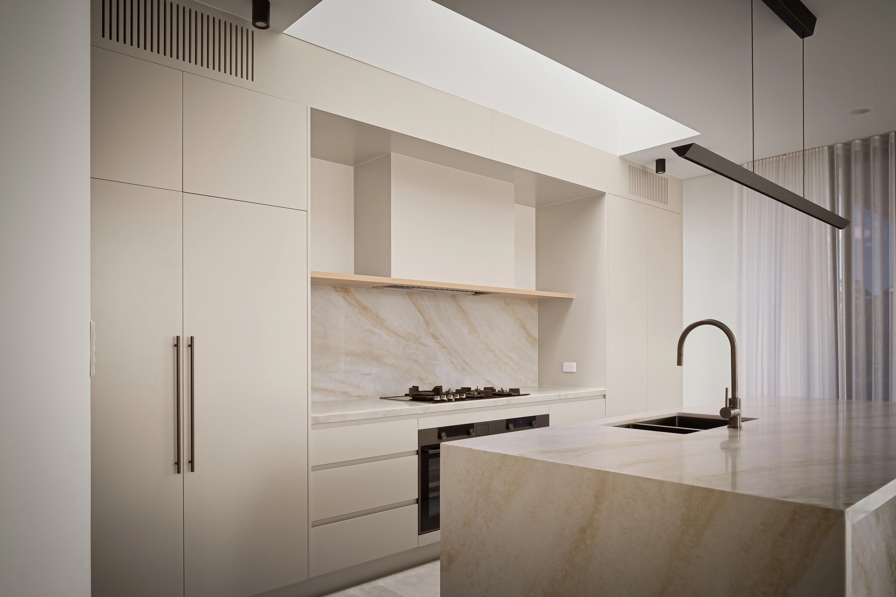
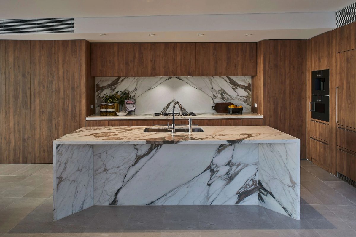
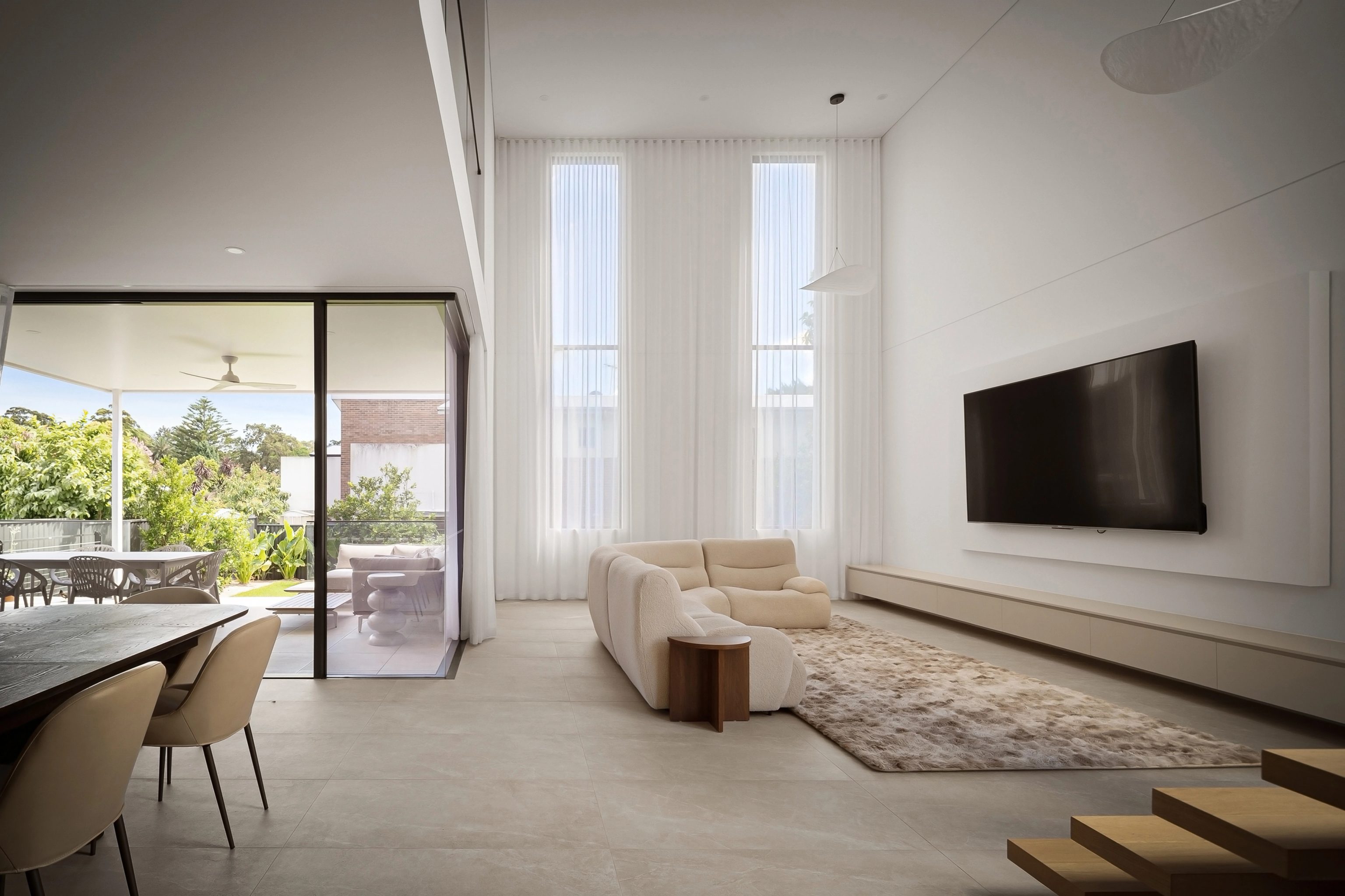
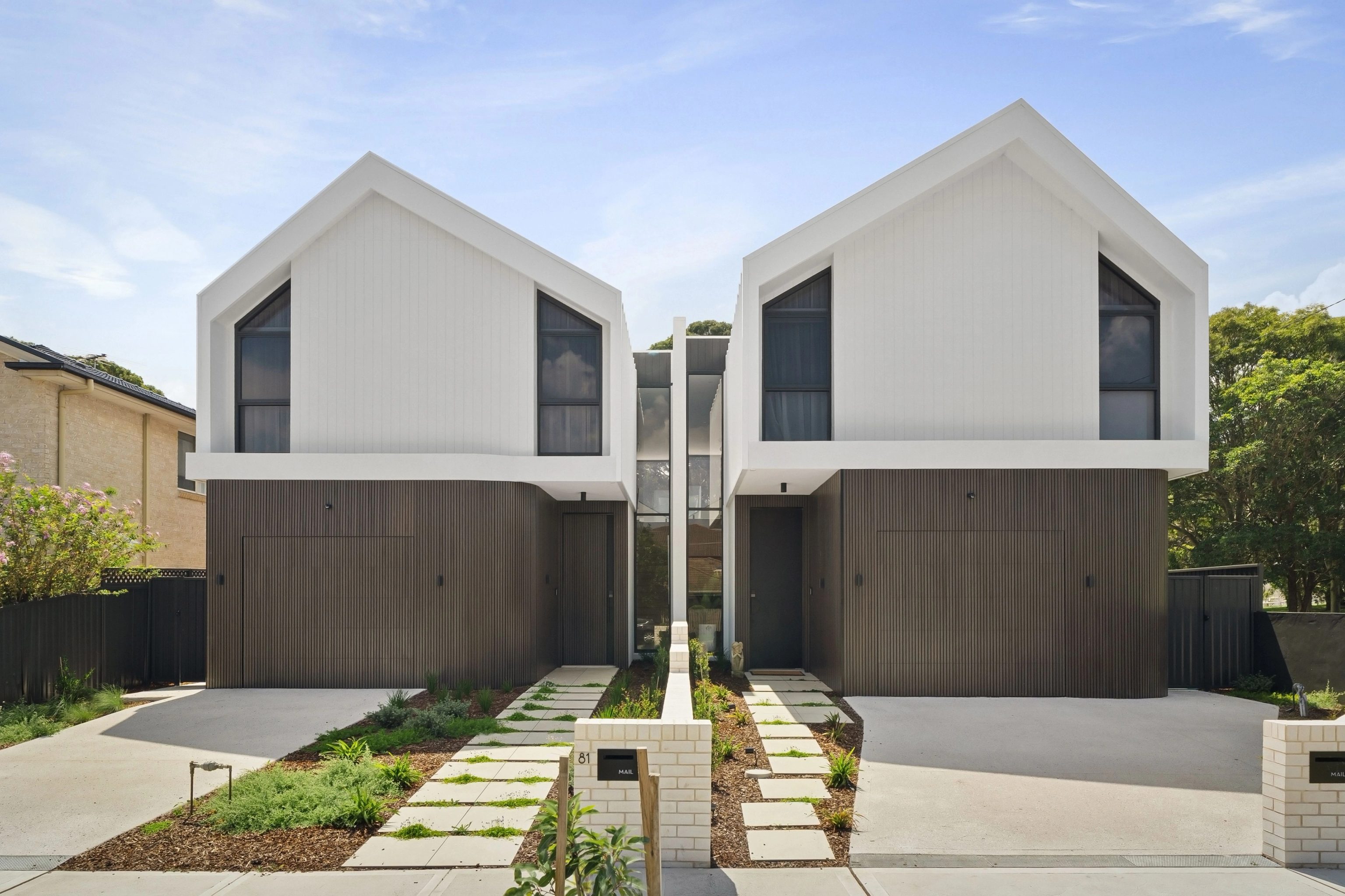
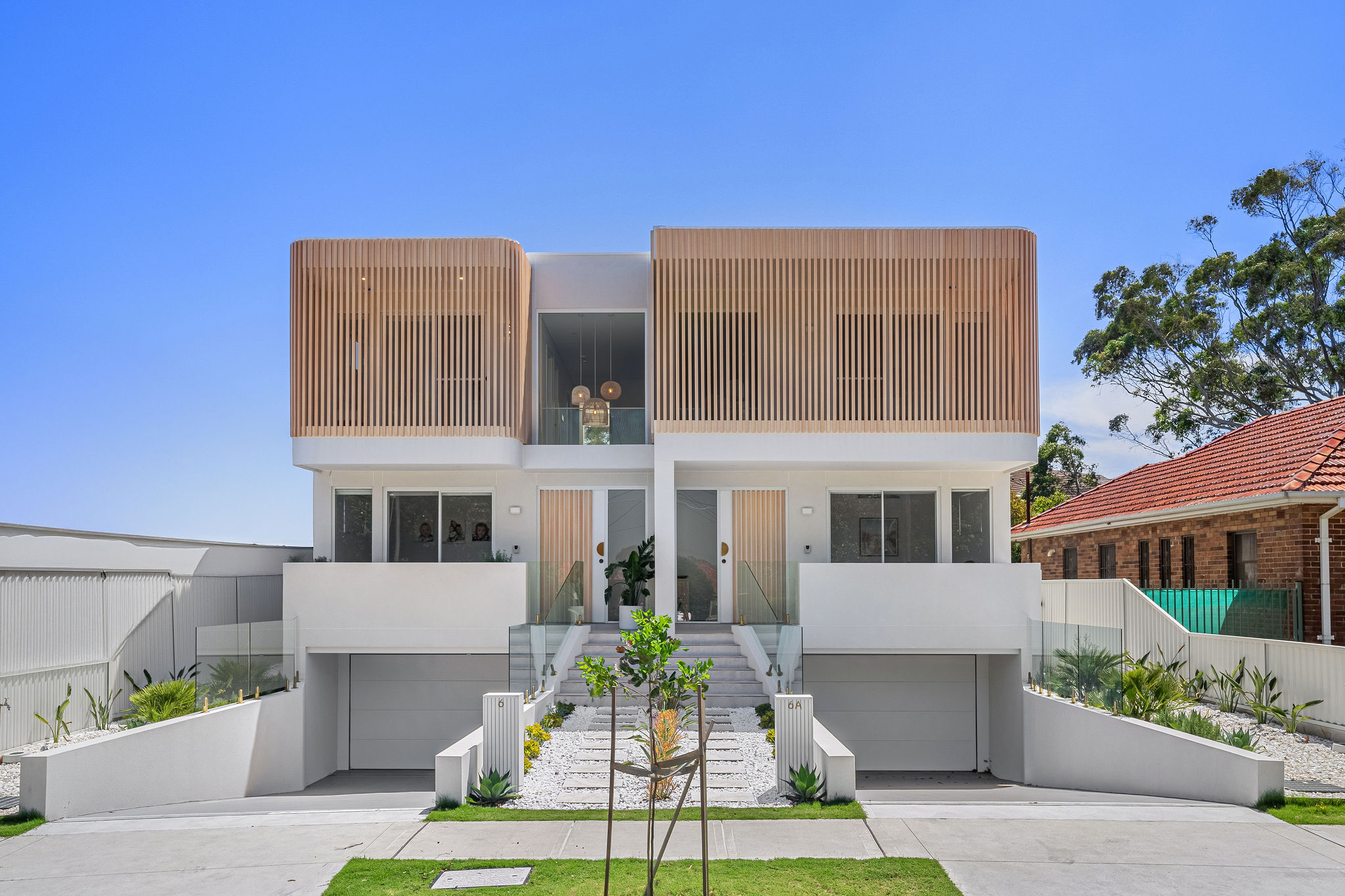
CHALK / Beverly Hills / Completed 2026

01 / The proposition

Distinct landscapes under one planning scheme

We are builders for residential clients throughout the Sutherland Shire council area, where broad suburban blocks, steep river valleys and coastal headlands create distinctive building opportunities. Sutherland Shire LEP 2015 and Sutherland Shire DCP 2015 govern housing projects across the municipality. While town centres such as Miranda and Cronulla provide dense apartment living, most established neighbourhoods remain dedicated to freestanding family dwellings.

The 2021 Census documented 50,676 separate houses, representing 60.8% of the LGA's occupied private dwellings, with townhouses and semi-detached homes at 13.9%. Apartments make up 24.8%, clustered around railway stations and the Cronulla beachside strip. That predominance of standalone blocks makes knockdown rebuilds and custom homes the primary focus for owners here.

We design and construct bespoke residences, substantial additions and secondary dwellings. We also build from finished plans prepared by independent architects.

Setting the direction

Three critical parameters for your site

First, identify your property zoning. Low density R2 parcels differ fundamentally from environmental living C4 blocks where the Housing Code does not apply, so a new home needs a development application. Second, examine natural hazard mapping because bushfire buffers or overland flow paths introduce mandatory construction standards. Third, evaluate site slope and access, as steep sandstone descents toward waterways require engineered retention and specialised machinery.

We have no completed residential project within this council area. Nearby examples of our craftsmanship in Beverly Hills, Chifley and Matraville appear further down.

SHORE Design + Build Architectural Cartography

Loading Architectural Map...
SHORE DESIGN + BUILD · LOCATIONS ARE APPROXIMATE

Select a pin or drag to explore

Map data: Esri, HERE, Garmin · © OpenStreetMap contributors

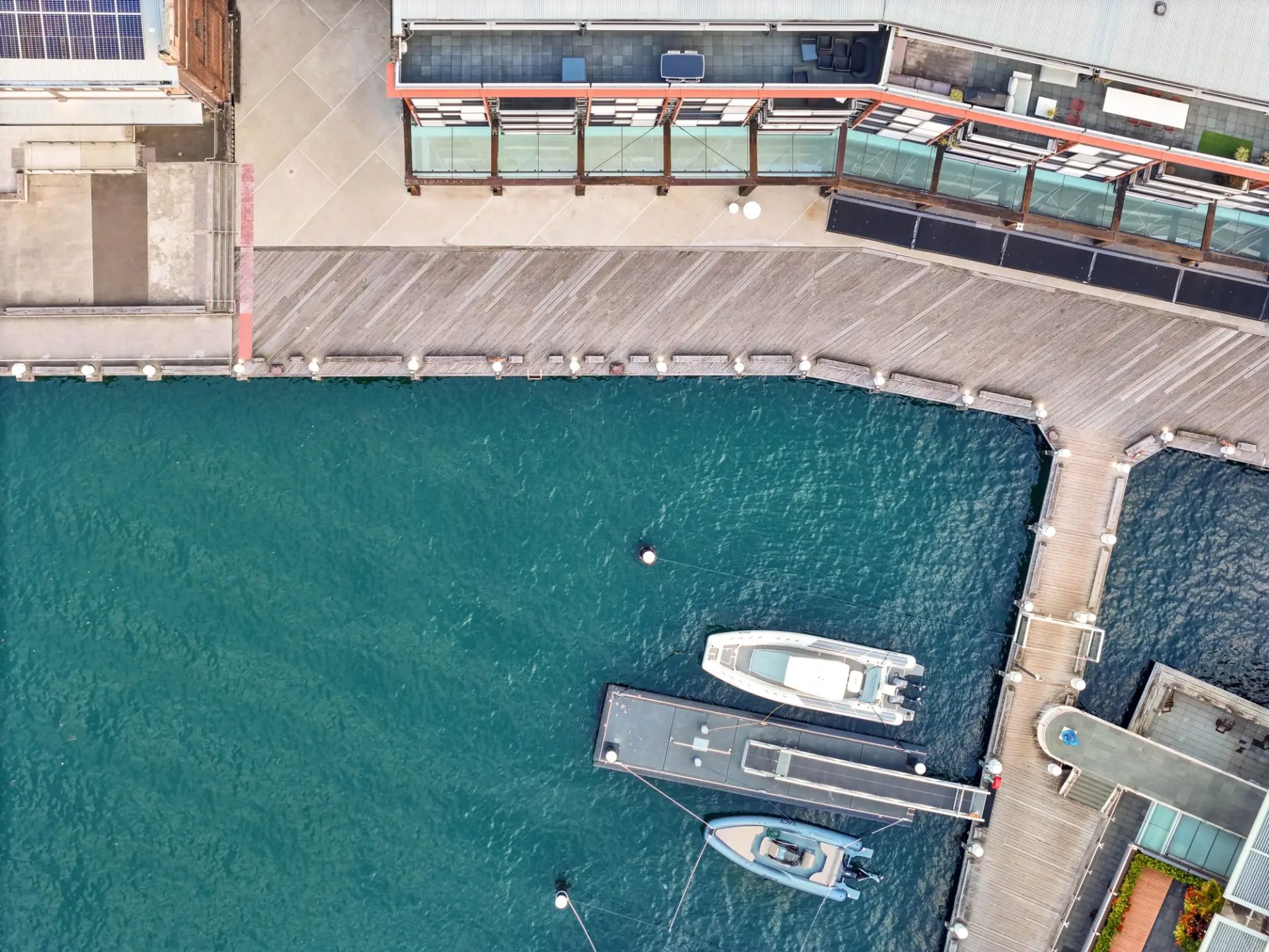
ALOFT project in Darling Point
Loading photo…
Completed 2021

Darling Point · residential

[ ALOFT ]

Five apartments arranged around Sydney Harbour views, with two basement levels. Completed in 2021, with architecture and interiors by Xpace.

Map locationDarling Point · Indicative location
Xpace (Architecture & Interiors) · SHORE (Construction Delivery)
Explore project details

Statutory framework

Local planning controls shaping homes in Sutherland Shire

Most low density land shows 8.5 metres mapped height and a 0.55:1 floor space ratio. Bushfire buffers, sandstone slope excavation, waterfront setbacks and dual occupancy rules shape what you can build lot by lot.

  1. 01

    Detached housing predominates in low density zones.

    Zone R2 makes up about 83% of the residential land in our map sample. Most of it carries a height limit of 8.5 metres, a 0.55:1 floor space ratio and a minimum lot size of 550 square metres. Unlike central Sydney, no heritage conservation areas apply across the municipality, leaving exterior alterations free from conservation area restrictions.

  2. 02

    Dual occupancy carries strict dimensional thresholds.

    Dual occupancies in Zone R2 need a minimum lot size of 600 square metres under clause 4.1E. Where a dual occupancy includes a rear dwelling on a lot with single street frontage, building height is capped at 5.4 metres under clause 4.3(2C). Clause 4.5B caps each dwelling's floor space ratio after a Torrens title subdivision.

  3. 03

    Bushfire and slope direct riverfront construction.

    Bushfire prone land covers over 70% of the council area. Most of it is national park and bushland. Homes on bushland edges are the most exposed. Complying development is barred on parcels assessed above BAL-29. Steep sandstone sites along the Woronora River, Georges River and Port Hacking require stepped foundations, rock excavation controls and geotechnical oversight.

  4. 04

    Waterfront properties navigate foreshore and soil controls.

    Land along coastal estuaries faces mapped foreshore building lines, coastal hazard overlays and Class 1 or Class 2 acid sulfate soils. On mapped acid sulfate soils, clause 6.1 requires consent for works such as excavation.

Our delivery framework

From parcel evaluation to key handover

Building in the Shire demands early clarity around environmental constraints and council planning standards. We establish site parameters before design begins so your project progresses without delay.

  1. Site and planning audit.

    We confirm your zoning, investigate hazard overlays including bushfire and acid sulfate classifications and verify boundary setbacks.

  2. Design to the terrain.

    Our architectural team develops layouts tailored to natural contours, balancing solar exposure with tree preservation and view corridors.

  3. Technical compliance.

    We coordinate required specialist reports covering bushfire attack levels, geotechnical stability, on-site stormwater detention and structural engineering.

  4. Managed construction.

    Deliveries, rock excavation, sediment controls and neighbour consideration are scheduled systematically to protect program and budget.

Ways to collaborate

Select your service route

Whether you need architectural concept design through handover or have consented documentation ready for construction, our team delivers a tailored service.

Integrated design and construction.

A cohesive team guides your project from initial vision through planning consents, interior selections and building delivery. This pathway provides single source accountability, ensuring architectural aspirations align with budget and council parameters from the start.

Construction of approved documentation.

Bring your completed architectural drawings and council determination. We undertake detailed buildability assessments, coordinate engineering details and provide transparent pricing with outstanding investigations clearly defined.

Explore our work

Nearby projects completed across southern and eastern Sydney

[ CHALK ]

[ CHALK ]

Beverly Hills

Completed 2026

A contemporary residence in Beverly Hills completed in 2026, featuring curved brick forms and polished interior surfaces. SHORE led the architectural design, interior detailing and construction. Beverly Hills is about 6.6 kilometres from Alfords Point in a straight line between the calculated centres of the two suburb areas.

Architecture
SHORE
Interiors & facade
SHORE
[ AXIS ]

[ AXIS ]

Chifley, NSW

Completed 2025

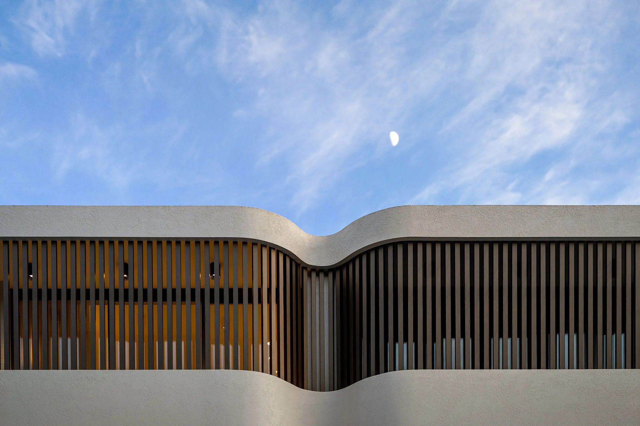
A monochromatic duplex in Chifley completed in 2025. Superior Design provided the architecture, while SHORE completed the interior detailing, facade work and construction. Chifley is about 7.5 kilometres from Kurnell in a straight line between the calculated centres of the two suburb areas across Botany Bay.

Architecture
Superior Design
Interiors & facade
SHORE
[ LATTICE ]

[ LATTICE ]

Matraville, NSW

Completed 2024

A coastal contemporary duplex in Matraville completed in 2024, finished in Venetian plaster and natural stone. SHORE undertook the architectural design, interior styling and complete build. Matraville is about 7.6 kilometres from Kurnell in a straight line between the calculated centres of the two suburb areas.

Architecture
SHORE
Interiors & facade
SHORE

53 localities

Localities within the Sutherland Shire council area

These 53 Shire localities sit on our service map: Alfords Point, Audley, Bangor, Barden Ridge, Bonnet Bay, Bonnie Vale, Bundeena, Burraneer, Caringbah, Caringbah South, Como, Cronulla, Dolans Bay, Engadine, Garie, Goarra, Grays Point, Greenhills Beach, Gymea, Gymea Bay, Heathcote, Illawong, Jannali, Jibbon, Kangaroo Point, Kareela, Kirrawee, Kurnell, Lilli Pilli, Loftus, Lucas Heights, Maianbar, Marley, Menai, Miranda, Oyster Bay, Palona, Port Hacking, Sandy Point, Sutherland, Sylvania, Sylvania Waters, Taren Point, Uloola, Warumbul, Waterfall, Wattamolla, Woolooware, Woronora, Woronora Heights, Yarrawarrah, Yenabilli and Yowie Bay.

Several localities lie largely within the Royal National Park and Lucas Heights holds the ANSTO research precinct, so these names appear as geography rather than house building areas. Housing centres instead on the waterways, rail corridors and suburban ridges. Tell us your property location and we will confirm which planning controls apply before sketches start.


Questions to bring early

Local questions for Sutherland Shire property owners

Do heritage conservation areas restrict homes in Sutherland Shire?

No. Sutherland Shire LEP 2015 contains zero heritage conservation areas in Schedule 5. While individual listed heritage items and archaeological sites require consent under clause 5.10, everyday suburban residential streets carry no conservation area demolition or styling constraints. This provides greater architectural flexibility compared to inner metropolitan areas.

What rules govern dual occupancy on an R2 block?

Clause 4.1E requires a minimum site area of 600 square metres for dual occupancy in Zone R2. If you propose a detached arrangement with a rear dwelling on a single frontage block, clause 4.3(2C) restricts that rear structure to 5.4 metres in height. Around Gymea and Woolooware stations, a 450 square metre lot may qualify under the State's newer dual occupancy rules. If the pair is later subdivided by Torrens title, each dwelling must stay within the mapped floor space ratio under clause 4.5B.

Can I build on bushfire prone or waterfront land using a complying development certificate?

Only within specific limits. The Housing Code permits complying development on bushfire prone land certified at BAL-29 or lower but strictly prohibits it in BAL-40 or Flame Zone categories. Work on foreshore land, land affected by a mapped coastal hazard or Class 1 or Class 2 acid sulfate soils also needs a development application through council. Properties zoned C3 or C4 cannot use the Housing Code.

How do steep slopes and rock affect building near the river?

Steep sandstone topography along waterways such as the Woronora River and Port Hacking demands stepped floor levels rather than massive cut and fill. Earthworks usually need consent. Council weighs drainage, soil stability and effects on neighbouring properties under clause 6.2. Geotechnical investigations and structural engineer certification are standard requirements to ensure foundation stability on rock shelves.

Next steps

Discuss your Sutherland Shire property

Provide your property location, site details and desired project scope. Our initial assessment outlines key planning controls, environmental overlays and investigative steps before design work starts.

Discuss my property
AboutProjects