Skip to page content
SHORE

Council guide / Liverpool

Builders for release estates, established streets and river edges in the Liverpool council area

A property here falls under either Liverpool Local Environmental Plan 2008 or a State precincts policy for the release estates and airport area. Flood mapping, bushfire buffers and dual occupancy lot sizes then decide much of what follows.

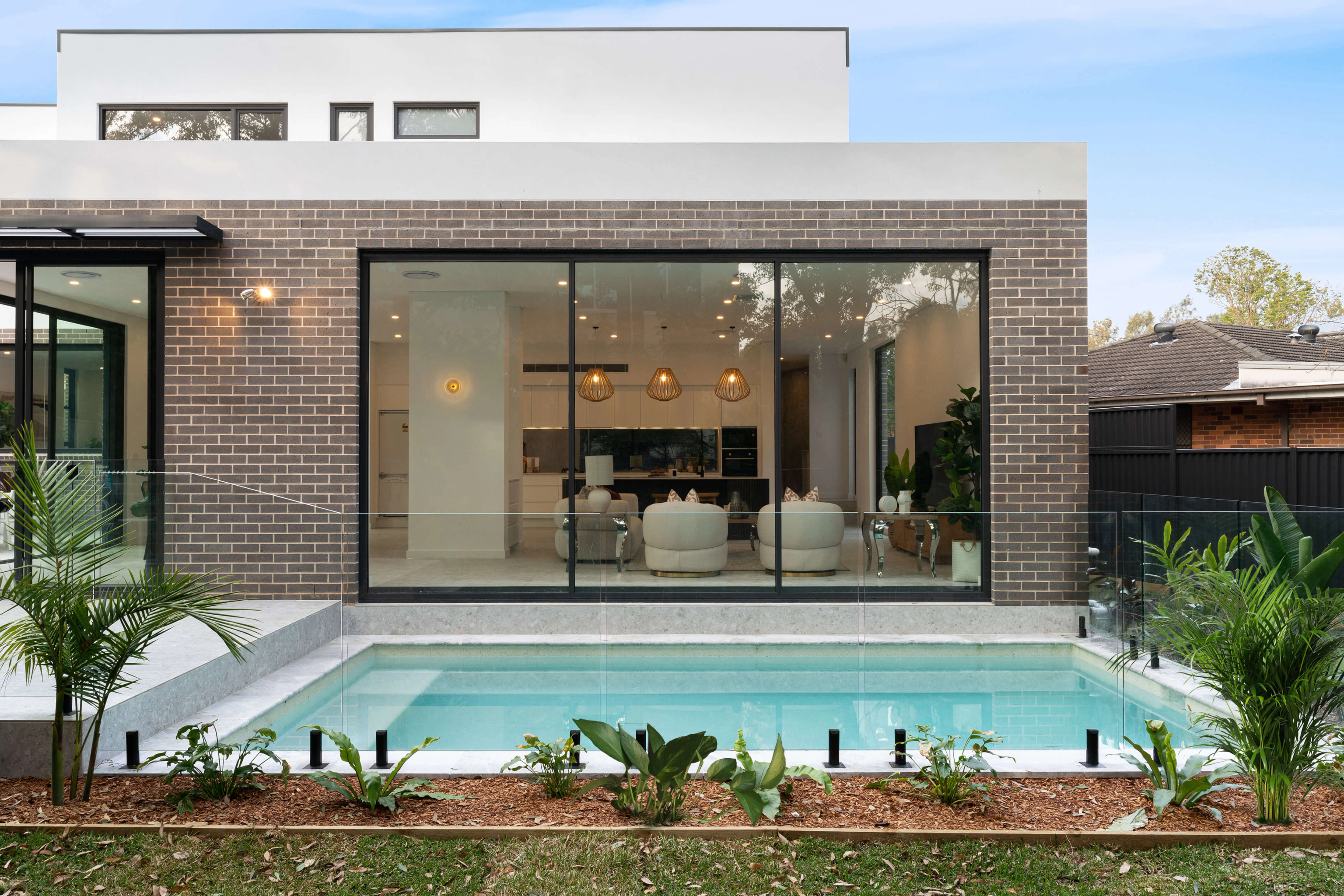
CHATEAU / Denham Court / Completed 2021

01 / The proposition

One council area, two planning systems

Our team works as builders across the Liverpool council area, where a house brief starts with a question that shapes everything after it: does this parcel answer to Liverpool Local Environmental Plan 2008 or to the State precincts policy that governs the release estates and the airport land? The local plan and council's development control plan cover most established streets, from Ashcroft and Casula through to Moorebank and Wattle Grove. The precincts policy covers newer growth corridors such as parts of Austral and Edmondson Park, plus the Bradfield and Badgerys Creek land around Western Sydney International Airport.

Housing here is still mostly detached. The 2021 Census counted separate houses as 73.1% of occupied homes across the council area, with 10.2% in semis, terraces and townhouses and 16.3% in apartments. That single figure hides a wide spread. West Hoxton and Cecil Hills sit above 94% separate houses, while the Liverpool suburb, which holds the city centre, records 65.0% apartments. Miller records 27.5%.

We design and build new houses, dual occupancies, knockdown rebuilds and major additions. We build from independent architects' drawings too.

Starting points

Four checks to run first

First, confirm the planning instrument. A parcel in the older suburbs is usually under Liverpool LEP 2008, while much of the newer release land and the airport interface sit under the Western Parkland City precincts policy. Second, check the dual occupancy lot size map if a second dwelling is part of the plan, because the local plan and the State housing policy use different numbers.

Third, check flooding and drainage. The council holds flood studies for the Georges River, Cabramatta Creek and the Nepean tributaries. A draft overland flow study for the Cabramatta Creek catchment went on public exhibition in 2026. Fourth, screen the site for bush fire prone land, acid sulfate soils and the airport noise contours of Western Sydney International and Bankstown airports.

There is no completed SHORE build in this council area yet. Three homes of ours close by appear in the project cards below: CHATEAU in Denham Court, CHALK in Beverly Hills and ULM in Ermington.

SHORE Design + Build Architectural Cartography

Loading Architectural Map...
SHORE DESIGN + BUILD · LOCATIONS ARE APPROXIMATE

Select a pin or drag to explore

Map data: Esri, HERE, Garmin · © OpenStreetMap contributors

ALOFT project in Darling Point
Loading photo…
Completed 2021

Darling Point · residential

[ ALOFT ]

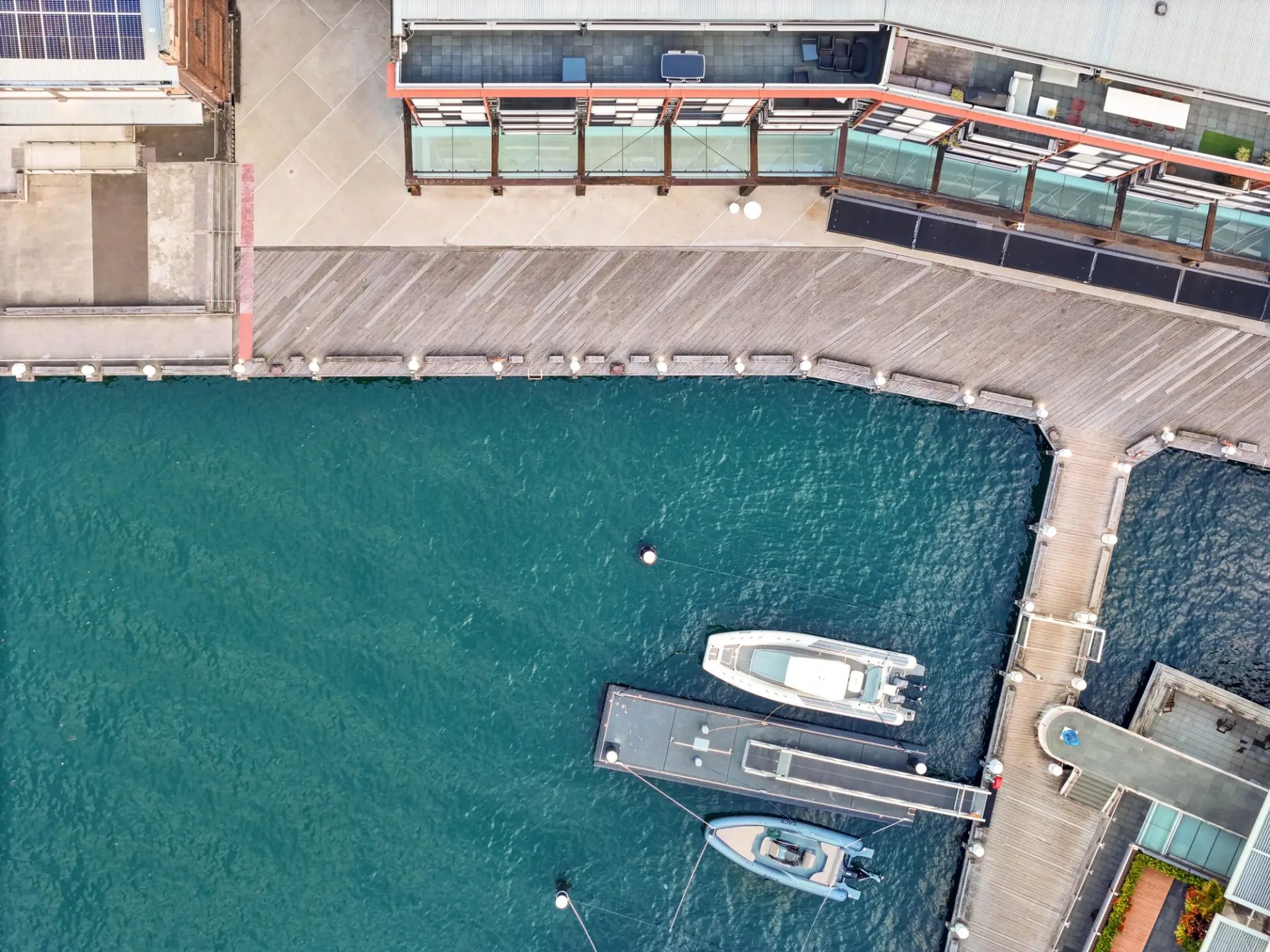
Five apartments arranged around Sydney Harbour views, with two basement levels. Completed in 2021, with architecture and interiors by Xpace.

Map locationDarling Point · Indicative location
Xpace (Architecture & Interiors) · SHORE (Construction Delivery)
Explore project details

The controls that apply

What the maps and the code decide

In our map sample of 119,387 points across the council area, about seven in ten sat under Liverpool LEP 2008 and about a quarter under the precincts policy. Local plan residential zones make up 17.1% of the sample. R2 land most often maps a height limit of 8.5 metres, a 0.5:1 or 0.6:1 floor space ratio and a minimum lot of 300 square metres, while R1 release streets most often map 0.65:1 with 300 or 450 square metre lots. Mapped values vary from street to street, so each parcel is checked against the current maps rather than a neighbour's numbers.

  1. 01

    Two planning systems divide the council area.

    Liverpool LEP 2008 carries the established suburbs and most residential streets. The precincts policy carries the growth corridors, including large parts of Austral and Edmondson Park. It also carries the Aerotropolis land at Bradfield and Badgerys Creek where enterprise and mixed use zones replace the local plan. The two systems set different zone names, lot sizes and approval routes, so the planning certificate comes first on any brief. Council is also reviewing the local plan for a future replacement, which is another reason to confirm the current controls rather than rely on memory.

  2. 02

    Dual occupancies have their own lot size rules.

    Under clause 4.1AB of the local plan, a dual occupancy in an R2 zone needs a site of 600 square metres or more unless the council's dual occupancy lot size map shows a different figure. Subdividing an existing one needs 300 square metres per lot or half the mapped figure. Where the land is not excluded, State housing policy also permits dual occupancies in R2 zones with consent. Within 800 metres walking distance of Liverpool station it sets non discretionary standards: a minimum lot of 450 square metres, a minimum width of 12 metres, a floor space ratio of 0.65:1 and a height limit of 9.5 metres. The exclusions include bush fire prone land, heritage items and Georges River catchment land affected by the probable maximum flood, so a parcel test decides. The code route for a dual occupancy needs the parent lot to clear both the 400 square metre minimum and the local plan minimum, with a 15 metre width at the building line and an 8.5 metre height.

  3. 03

    Flooding and drainage come before the design.

    The council area is crossed by the Georges River and the Nepean River systems. The council holds floodplain studies for both plus Cabramatta Creek. A draft overland flow study for the Cabramatta Creek catchment went on exhibition in 2026, covering a long list of suburbs from Liverpool and Warwick Farm to West Hoxton and Cecil Hills. The development control plan generally holds habitable floors at the 1% flood level, adding between 300 and 500 millimetres of freeboard depending on the floodplain. Flood compatible materials are required below that level. A site specific flood study may also be needed. Added impervious area can also trigger on site stormwater detention. Where a site drains by gravity to a natural creek or river, buildings must also stay 40 metres back from the top of the bank.

  4. 04

    Bushfire, soils and airport noise screen some lots.

    Mapped bush fire prone land covers about 63% of the council area, though only about 15% of our residential sample falls inside it. Complying development is closed on the highest bushfire categories. Mapped acid sulfate soils include class 1 and class 2 land, where consent is required for listed works and the code route is closed. Airport noise matters near Western Sydney International in the west and near Bankstown Airport in Chipping Norton. Under the local plan, above an ANEF of 20 a dwelling needs consent and acoustic treatment to AS 2021. Above 25 new dwellings are not permitted apart from alterations, extensions or replacements. Heritage is a narrower constraint here than in the inner city, with one conservation area in the Liverpool city centre and one in the Austral town centre, alongside 93 listed heritage item entries.

Running a project here

From planning certificate to handover

Most of the risk in a Liverpool build sits in the first month of checks, not on the tools. We settle the instrument, the flood level and the approval route before drawings are locked in.

  1. Confirm the instrument and the zone.

    We read the planning certificate and zoning map to establish whether the parcel answers to Liverpool LEP 2008 or to the precincts policy, then check the mapped height, the floor space ratio and the minimum lot size that apply.

  2. Test the site constraints.

    Flood category, overland flow, bush fire prone land, acid sulfate class, heritage items and the airport noise contours each change what can be built and what reports are needed. We map them early so nothing surfaces after drawings are finished.

  3. Choose the approval route.

    A one or two storey house on a standard residential lot may be able to use complying development unless an exclusion applies. Heritage items, conservation areas, mapped acid sulfate classes 1 and 2, foreshore land and land within the 25 ANEF contour or above close that route. Flood or bushfire land adds conditions. Floodway, flow path, high hazard and high risk flood land and BAL-40 or flame zone land are excluded.

  4. Price with the ground in mind.

    Cut and fill limits, retaining walls, tree protection, flood compatible materials and drainage easements are costed into the estimate rather than discovered during construction.

Where we fit

Two ways in

You can come to us with a block and an idea or with a finished set of drawings and a consent.

Your home or addition under one contract.

One team carries the project from the first sketch through council documents, consent and construction. It works well for owners who want the planning route, the lot size rules and the build cost resolved together before anything is lodged.

Construction of an architect's drawings.

Share the latest drawings, reports and consent conditions. We review the structural detail, the flood or bushfire requirements and access to the site, then price the build and list the reports still to come.

Explore our work

Homes we completed near this council area

[ CHATEAU ]

[ CHATEAU ]

Denham Court, NSW

Completed 2021

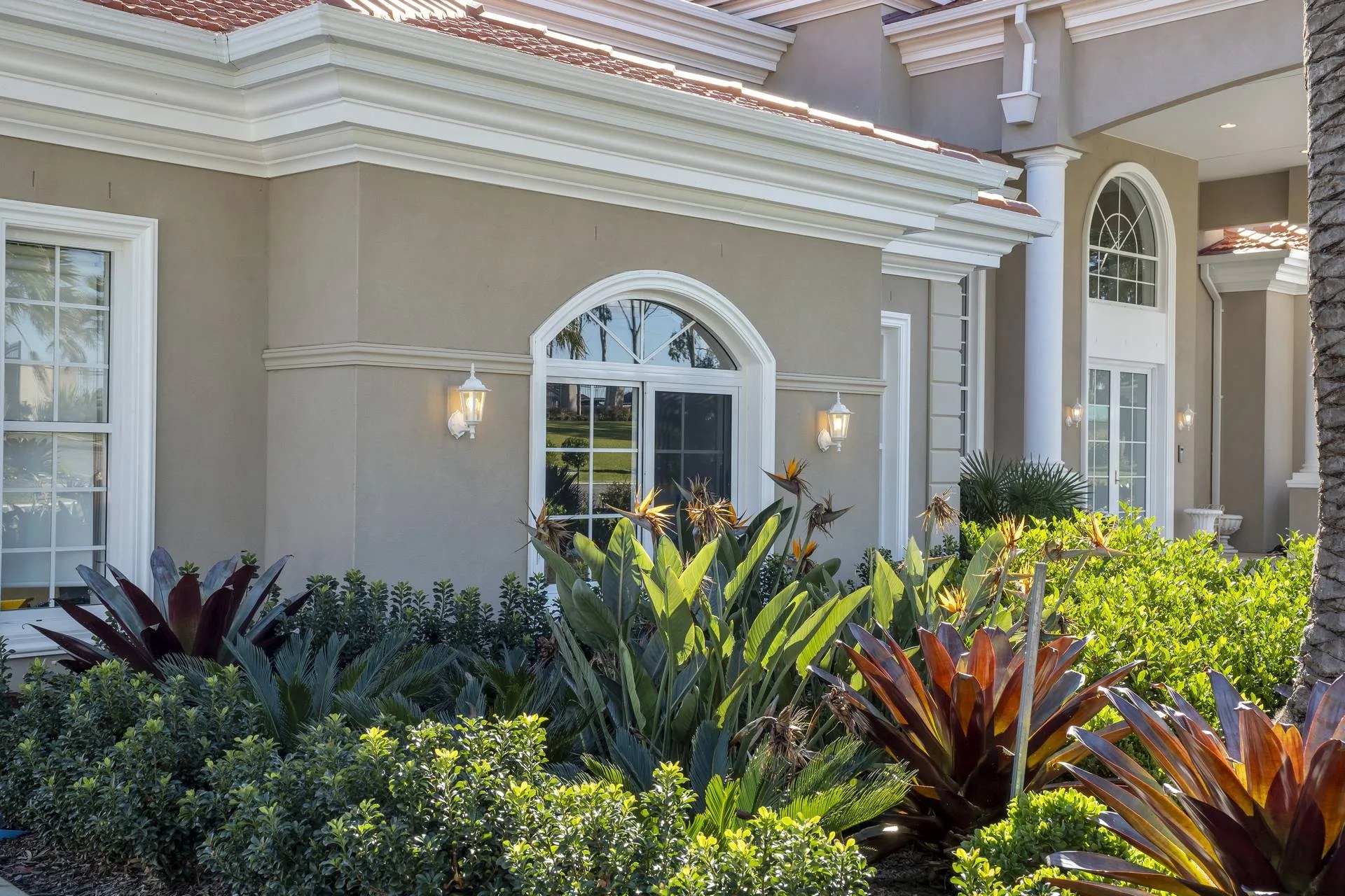
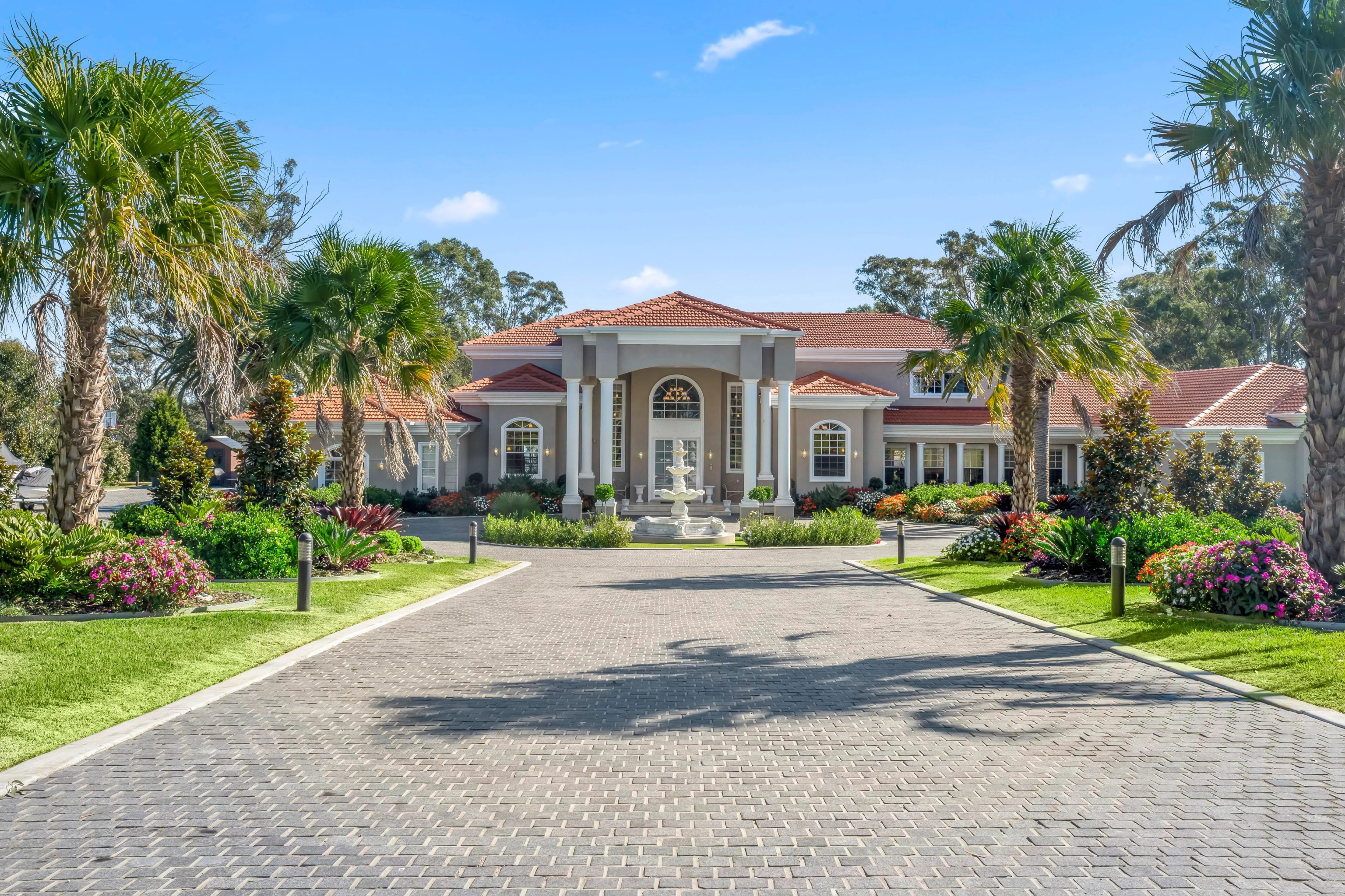
A French Provincial estate on five acres in Denham Court, completed in 2021 and designed and built by SHORE. Denham Court is about 3.1 kilometres from Edmondson Park in a straight line between the calculated centres of the two suburb areas.

Architecture
SHORE
Interiors & facade
SHORE
[ CHALK ]

[ CHALK ]

Beverly Hills

Completed 2026

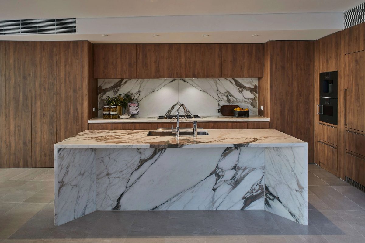
A sculptural white brick residence in Beverly Hills, completed in 2026, with architecture, interiors, facade and construction by SHORE. Beverly Hills is about 9.2 kilometres from Pleasure Point in a straight line between the calculated centres of the two suburb areas.

Architecture
SHORE
Interiors & facade
SHORE
[ ULM ]

[ ULM ]

Ermington, NSW

Completed 2023

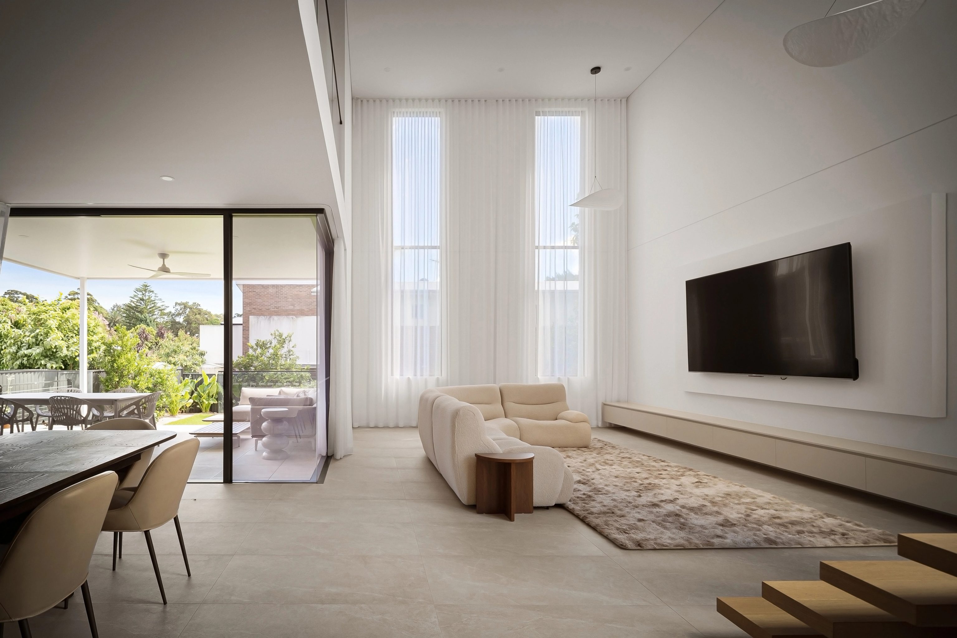
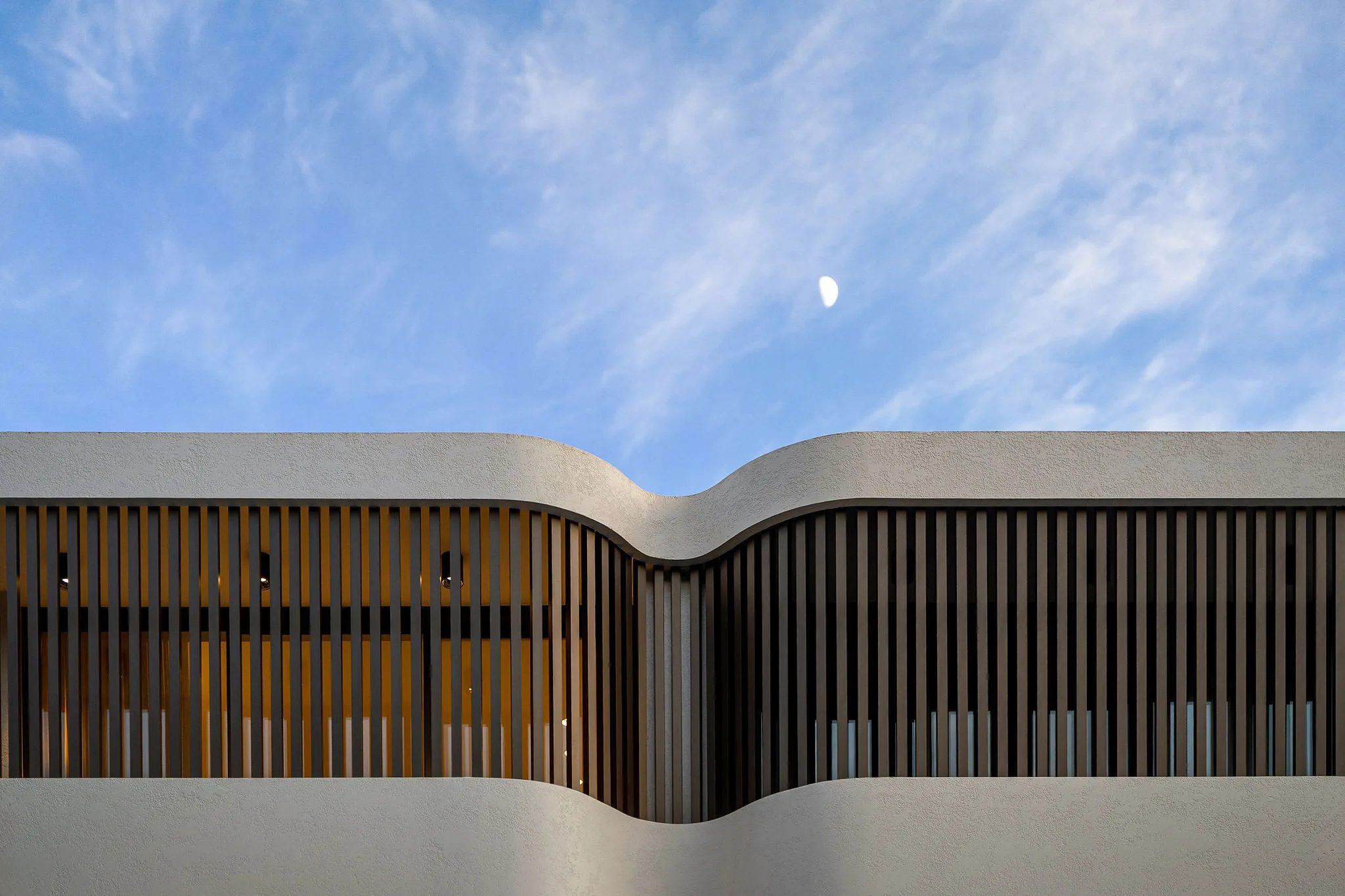
A contemporary home in Ermington with sweeping curves, completed in 2023. Architecture is by Peak Architects while SHORE handled the interiors and facade and built the residence. Ermington is about 15.1 kilometres from Chipping Norton in a straight line between the calculated centres of the two suburb areas.

Architecture
Peak Architects
Interiors & facade
SHORE

34 suburbs

Every locality in this council's map row

Our map directory places these 34 localities in this council: Ashcroft, Austral, Badgerys Creek, Bradfield, Busby, Carnes Hill, Cartwright, Casula, Cecil Hills, Cecil Park, Chipping Norton, Edmondson Park, Elizabeth Hills, Green Valley, Greendale, Hammondville, Heckenberg, Hinchinbrook, Horningsea Park, Hoxton Park, Len Waters Estate, Liverpool, Lurnea, Middleton Grange, Miller, Moorebank, Pleasure Point, Prestons, Rossmore, Sadleir, Voyager Point, Warwick Farm, Wattle Grove and West Hoxton.

Three of them cross council boundaries. Badgerys Creek crosses into the City of Penrith and Cecil Park into Fairfield City. Rossmore reaches into Camden. Bradfield and Badgerys Creek are largely airport and enterprise land while Cecil Park is mostly parkland and rural holdings, so private house building is rare there. Share the lot details and we will settle the planning authority and the instrument first.


Questions to bring early

Questions Liverpool owners ask us

Which planning instrument covers my property?

Most established streets sit under Liverpool Local Environmental Plan 2008, while the release estates and the airport land sit under the Western Parkland City precincts policy. The planning certificate states the instrument and the zone for a specific lot. We check the certificate before any design work. Parcels in Badgerys Creek, Cecil Park and Rossmore can sit on a council boundary, so the certificate also settles which council assesses the application.

Can I add a second dwelling and split the titles?

Often, where the lot and the maps allow it, though exclusions such as bush fire prone land and heritage items still apply. In Zone R2 the local plan sets a 600 square metre minimum and 300 square metres per lot for subdividing an existing pair, unless the dual occupancy lot size map shows different figures. Within 800 metres walking distance of Liverpool station, State housing policy sets a minimum lot of 450 square metres, a 12 metre width, a floor space ratio of 0.65:1 and a height limit of 9.5 metres. Inside that walking catchment, a pair approved on 28 February 2025 or later can be split into lots measuring 225 square metres or more and 6 metres wide.

Can we use complying development instead of a development application?

Both routes exist. A one or two storey house on a standard lot in Zones R1 to R4 can often use the Housing Code, while the Greenfield Housing Code covers mapped release streets in areas such as Austral and Edmondson Park. The code route closes on land in a conservation area, on mapped acid sulfate class 1 and 2 land, on foreshore land, on heritage items for dual occupancies and terraces and on land within the 25 ANEF contour or above. Flood and bushfire land adds conditions and parcel certification rather than an automatic refusal.

My street floods in heavy rain. What does the council require?

The council manages flood risk through studies and plans for the Georges River, Cabramatta Creek and the Nepean tributaries, plus a 2026 draft study of overland flow in the Cabramatta Creek catchment. The development control plan generally sets habitable floor levels at the 1% flood level with between 300 and 500 millimetres of freeboard depending on the floodplain, requires flood compatible materials under that level and may ask for a site specific flood study. Where a proposal adds impervious area, on site detention of stormwater can also be required.

Opening conversation

Talk through your Liverpool property with us

Tell us where the property is, how big the lot is and what you have in mind. Our reply covers which planning instrument and approval route look likely to apply. It also names the flood, bushfire or soil investigations the site may need.

Ask about my property
AboutProjects