Skip to page content
SHORE

Council guide / Ku-ring-gai

Builders for family homes, character estates and valley slopes in the Ku-ring-gai Council area

Deep garden lots, strict tree canopy protections, heritage conservation areas and steep bushland margins shape residential building here. This guide explains how Ku-ring-gai planning controls work before you design a new home or addition.

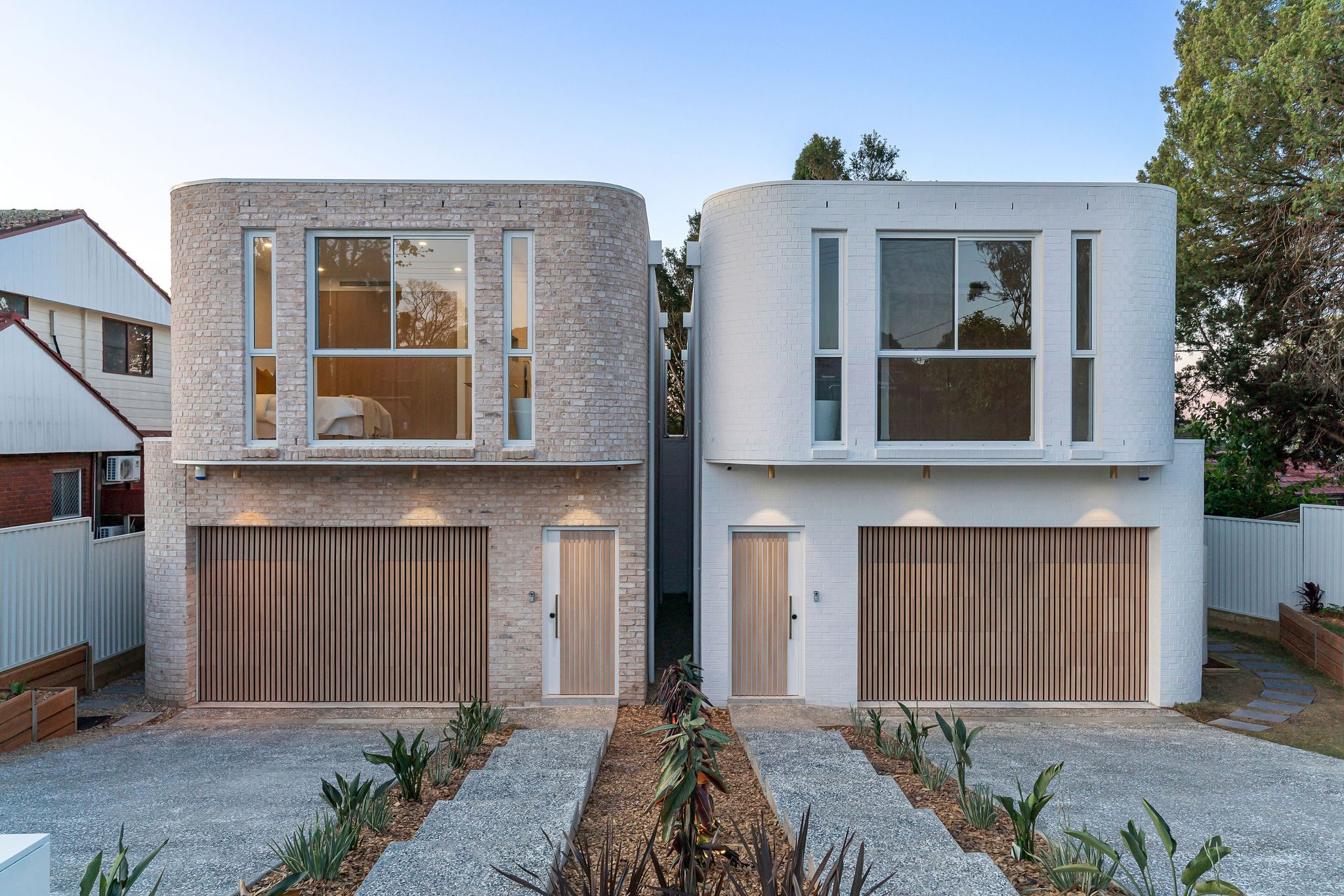
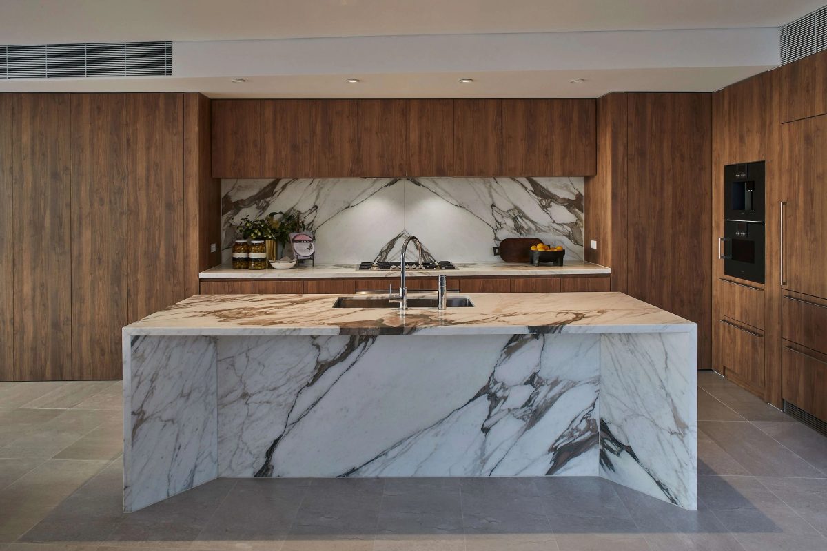
LIME / North Ryde / Completed 2023

01 / The proposition

Estates, canopy trees and bushland edges

We are builders for homeowners across the Ku-ring-gai Council area, where spacious residential allotments, heritage estates and sandstone valleys present distinct architectural and construction briefs. Ku-ring-gai Local Environmental Plan 2015 and Ku-ring-gai Development Control Plan govern residential work across these northern suburbs. Station precincts carry higher housing densities, while the surrounding residential streets remain predominantly detached homes.

Census data from 2021 shows standalone houses make up 68.6% of all occupied private dwellings across the municipality, above the NSW figure of 65.6%. Flats and apartments account for 27.1%, concentrated around the railway stations. Semi-detached homes and terraces represent just 3.9%. Work here centres on custom homes, substantial extensions and architectural renovations tailored to leafy settings.

Our practice delivers turnkey architectural residences, substantial additions and alterations, collaborating either from initial concept or alongside external design practices.

Initial property checks

Three factors that determine your approvals

First, verify the local government boundary. Part of Wahroonga lies in Hornsby Shire and part of Roseville lies in Willoughby City, so the planning certificate must be confirmed before planning. Second, establish whether your property sits within one of the 46 heritage conservation areas or contains a heritage item. Third, examine slope and tree canopy: extensive bushfire prone land on valley margins and strict tree replenishment rules guide where you can build and how stormwater must drain.

While our portfolio does not currently include a completed build within Ku-ring-gai itself, our nearby residences in neighbouring North Ryde, East Ryde and Eastwood show the residential finishes and detailing we deliver.

SHORE Design + Build Architectural Cartography

Loading Architectural Map...
SHORE DESIGN + BUILD · LOCATIONS ARE APPROXIMATE

Select a pin or drag to explore

Map data: Esri, HERE, Garmin · © OpenStreetMap contributors

ALOFT project in Darling Point
Loading photo…
Completed 2021

Darling Point · residential

[ ALOFT ]

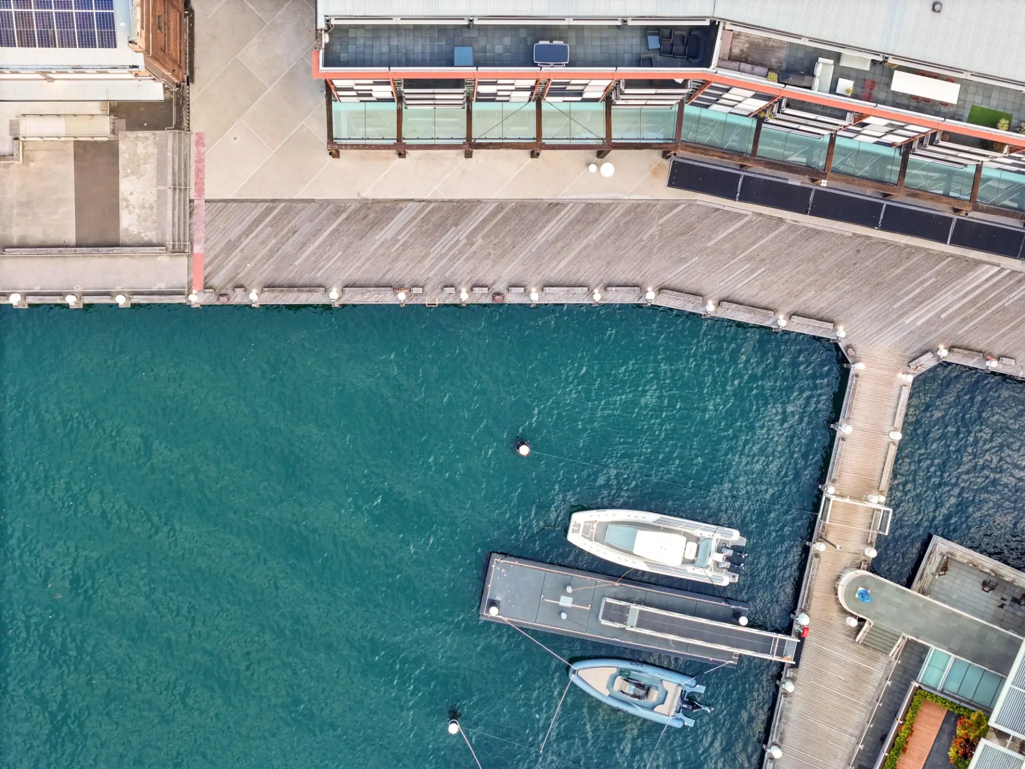
Five apartments arranged around Sydney Harbour views, with two basement levels. Completed in 2021, with architecture and interiors by Xpace.

Map locationDarling Point · Indicative location
Xpace (Architecture & Interiors) · SHORE (Construction Delivery)
Explore project details

Statutory planning controls

Key planning rules for Ku-ring-gai properties

Ku-ring-gai applies specific low density residential controls, sliding scale floor space ratios, mandatory tree canopy targets and tight heritage protections across its residential zones.

  1. 01

    Sliding floor space ratio scales by lot size.

    Rather than a flat density number across the zone, the local plan sets floor space ratio in Zone R2 using a mathematical formula based on site area. Sites up to 800 square metres allow a maximum floor space ratio of 0.40:1, tapering downward on larger parcels to 0.30:1 for land exceeding 1,700 square metres. Most low density land we sampled on the planning map carries a 9.5 metre height limit.

  2. 02

    Heritage conservation areas cover 46 distinct precincts.

    The local plan schedules 46 conservation areas across the railway corridor and established neighbourhoods. In these areas, complying development for new houses and major additions is excluded. Where an area has a single storey character, additions must stay at or below the existing roof ridge. Excavation, including new basements, is not permitted on heritage item sites.

  3. 03

    About half the council area is bushfire prone.

    NSW bushfire prone land mapping covers about half the council area, concentrated on valley edges beside national parks. Parcels designated BAL-40 or Flame Zone (BAL-FZ) cannot proceed via complying development, requiring a formal development application with asset protection zones, radiant heat shielding and non-combustible construction.

  4. 04

    Stormwater disposal faces strict controls on rear-sloping blocks.

    For properties sloping away from the street without a drainage easement, council permits pump-out systems only in exceptional cases. Designs usually combine an absorption trench draining no more than 30% of the site, on-site detention where required and the rainwater tank council makes mandatory.

How a Ku-ring-gai project runs

From site survey to completed home

Building among established trees and sloping ground requires thorough investigation early. We coordinate environmental, structural and council checks at the outset so construction proceeds smoothly.

  1. Site and planning assessment.

    We review title boundaries, zoning, heritage schedules and council overlays for bushfire attack levels, tree preservation zones and overland flow.

  2. Tree canopy and footprint design.

    Proposed envelopes are tested against minimum building setbacks and tree root protection areas. We ensure the design achieves required deep soil and canopy tree numbers.

  3. Ground conditions and stormwater engineering.

    We survey rock levels and slopes. For properties falling away from the street, on-site detention, absorption systems and overland flow paths are engineered to satisfy council discharge limits.

  4. Detailed construction management.

    Access along tree-lined streets, environmental controls on sloping terrain and protection of neighbouring properties are scheduled into the construction budget and program.

Service options

Choose how we work together

Clients typically engage our team either for full end to end project delivery or to build from already consented architectural drawings.

Complete design and build.

Our integrated team manages your project from preliminary concepts and arborist surveys through development approvals and final construction. This provides unified accountability for meeting council heritage, tree canopy and envelope controls within your budget.
Architectural construction.

If you already have architectural drawings or planning consent, we review the documentation for construction efficiency, site drainage and bushfire compliance, providing a clear contract price and program.

Explore our work

Completed SHORE projects near the Ku-ring-gai boundary

[ LIME ]

[ LIME ]

North Ryde, NSW

Completed 2023

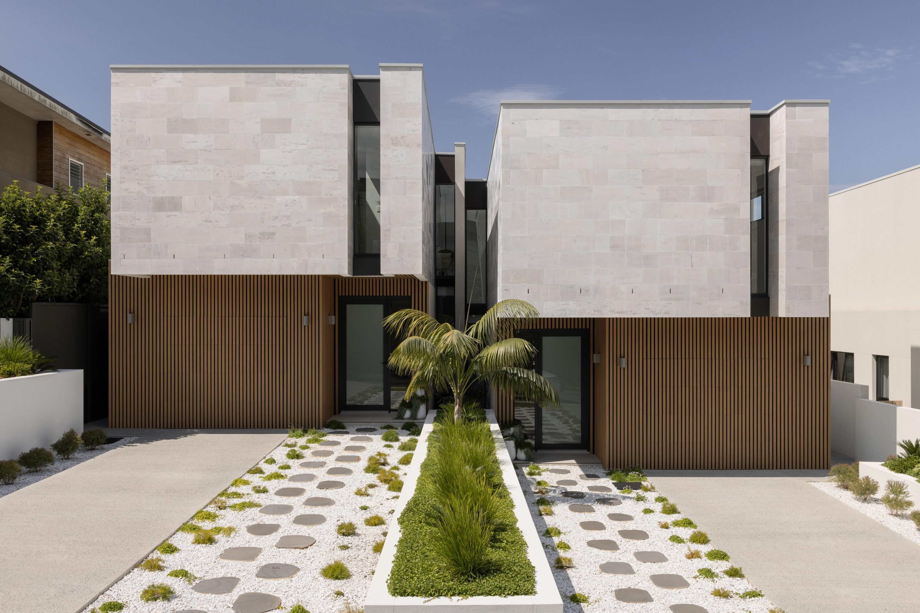
A contemporary double-brick residence in North Ryde, completed in 2023. Architecture, interiors and facade are by SHORE. North Ryde is about 3.5 kilometres from Lindfield in a straight line between the calculated centres of the two suburb areas.

Architecture
SHORE
Interiors & facade
SHORE
[ ELIPSE ]

[ ELIPSE ]

East Ryde, NSW

Completed 2024

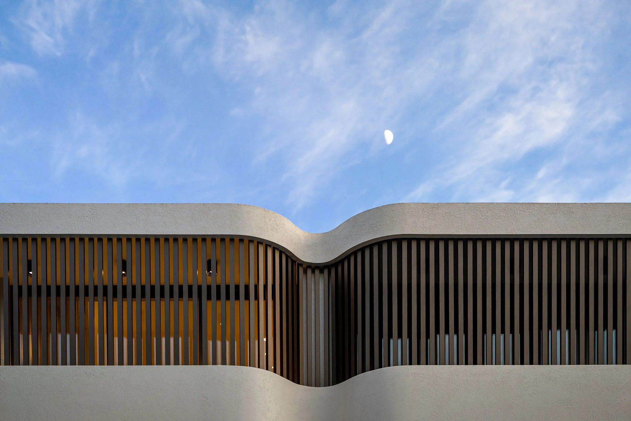
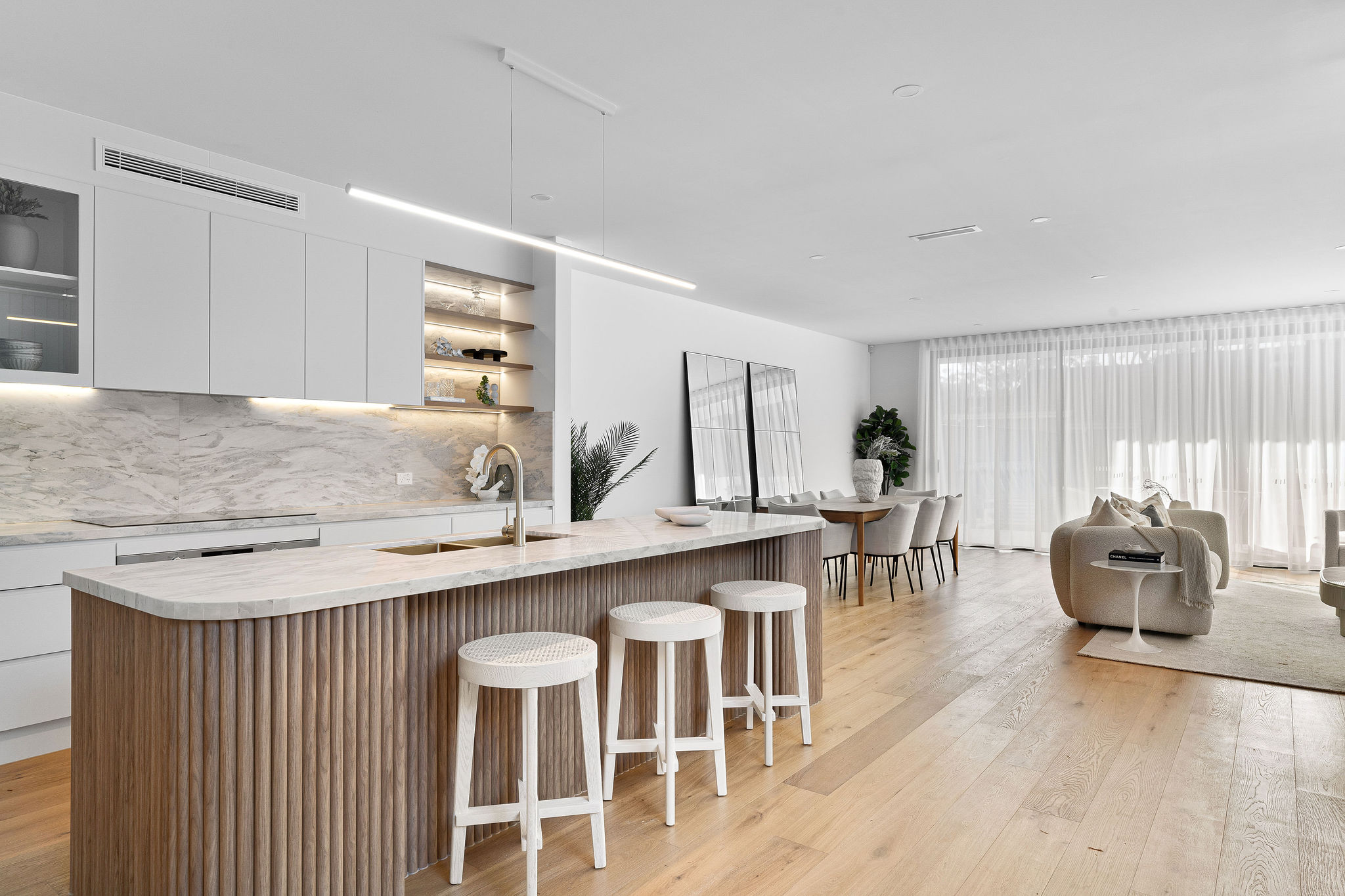
A curved contemporary home in East Ryde completed in 2024. Architecture, interiors and facade are by SHORE. East Ryde is about 4.1 kilometres from Lindfield in a straight line between the calculated centres of the two suburb areas.

Architecture
SHORE
Interiors & facade
SHORE
[ ASH ]

[ ASH ]

Eastwood, NSW

Completed 2022

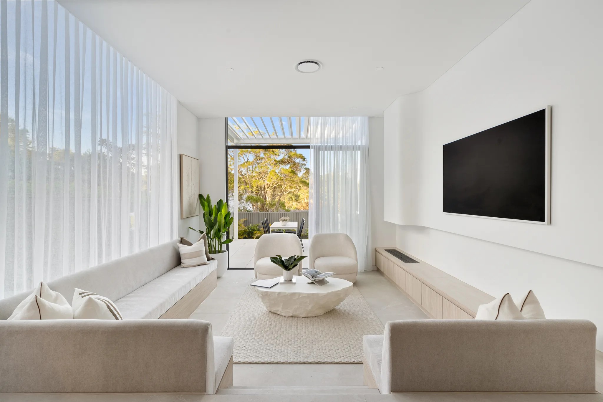
A sculptural duplex in Eastwood completed in 2022. SHORE handled the interiors and facade and built both residences. Eastwood is about 4.6 kilometres from South Turramurra in a straight line between the calculated centres of the two suburb areas.

Interiors & facade
SHORE

17 suburbs

Ku-ring-gai localities on our service directory

Our service coverage encompasses all 17 snapshot localities administered by this municipality: East Killara, East Lindfield, Gordon, Killara, Lindfield, North Turramurra, North Wahroonga, Pymble, Roseville, Roseville Chase, South Turramurra, St Ives, St Ives Chase, Turramurra, Wahroonga, Warrawee and West Pymble.

Roseville and Wahroonga cross into neighbouring council boundaries. Tell us the property location and we will verify the applicable planning controls before preliminary design commences.

Questions to bring early

Local questions for Ku-ring-gai property owners

Is dual occupancy permitted on residential land in Ku-ring-gai?

Ku-ring-gai's local plan leaves dual occupancies out of Zone R2, so they rely on the State's low and mid rise housing chapter. It allows a pair with consent on R2 land unless the site is bushfire prone or holds a heritage item. Ku-ring-gai LEP 2015 then requires a lot of at least 1,015 square metres. A lawfully built pair may be subdivided if each lot is at least 507.5 square metres with one home. Near Pymble and Wahroonga stations, State standards can allow smaller lots. Within heritage conservation areas or near heritage items, the development control plan restricts dual occupancies to a single storey appearance with any upper floor concealed within the roof form.

What controls govern second storey additions across Ku-ring-gai conservation precincts?

In conservation areas with a single storey character, council generally does not permit first floor additions to contributory homes. Attic rooms behind the main roof may be allowed and additions must stay at or below the existing ridge. External materials such as face brick and sandstone must not be rendered or painted.

How do bushfire attack levels affect my building plans?

With about half the council area mapped as bushfire prone, properties near bushland valleys require a formal bushfire assessment. Land rated up to BAL-29 may use complying development if all code standards are satisfied but BAL-40 and Flame Zone sites require a development application. Higher ratings require non-combustible exterior walling, metal window mesh, toughened glazing and dedicated asset protection zones.

What happens if my block slopes down away from the street?

Where a lot falls away from the road and lacks an easement over downhill properties, council enforces Location D drainage rules. Mechanical pump-out systems to the street are strictly restricted to rare situations with engineer justification. Where no drainage easement can be obtained, an absorption trench draining no more than 30% of the site is the usual alternative, with on-site detention where required.

Project consultation

Talk through your Ku-ring-gai building project

Share your property address, site challenges and architectural goals. Our builders will evaluate council planning constraints, tree preservation limits and construction pathways prior to documentation.

Book a planning discussion
AboutProjects