Skip to page content
SHORE

Council guide / Fairfield

Builders in the Fairfield Council area for new houses, dual occupancies and acreage estates

Most Fairfield City streets carry a 9 metre height limit and a 0.45 to 1 floor space ratio. Dual occupancy lot sizes run from 600 square metres in the eastern railway suburbs to 900 in the western estates, with acreage at Horsley Park.

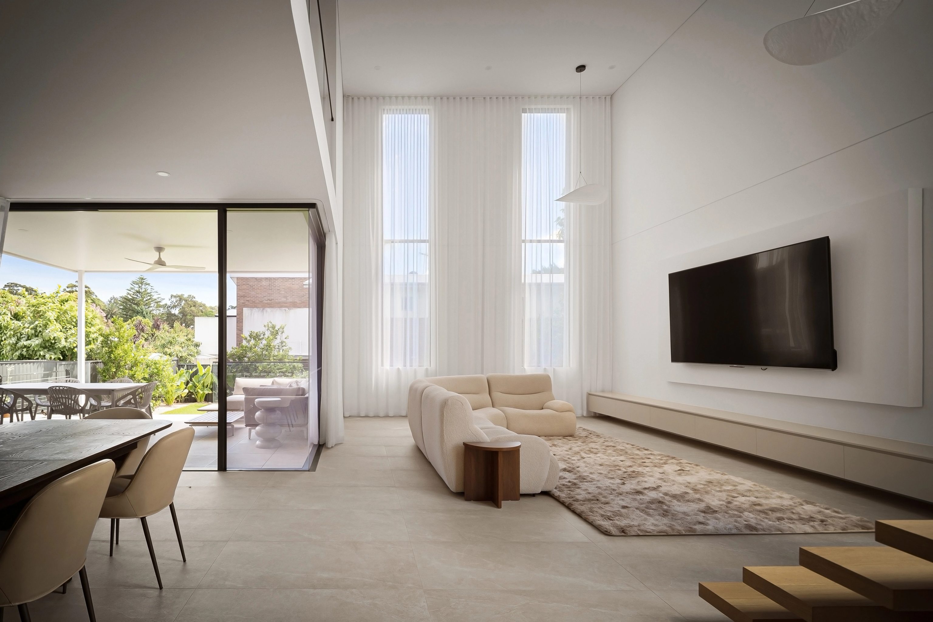
CHATEAU / Denham Court / Completed 2021

01 / The proposition

One council across railway suburbs, western estates and rural acreage

As builders in the Fairfield Council area, we take on new family residences, dual occupancies, rural estates and major structural alterations. Fairfield Local Environmental Plan 2013 and Fairfield City Wide Development Control Plan 2024 govern almost every residential street, supplemented by site specific town centre plans in Fairfield, Cabramatta, Bonnyrigg, Canley Corridor, Fairfield Heights and Prairiewood.

Separate houses accounted for 72.2% of Fairfield City's occupied private dwellings when the 2021 Census was taken. Semi-detached and townhouse homes made up 12.5% and apartments a further 14.7%. That city-wide figure bridges two distinct housing markets: western suburbs such as Abbotsbury (98.1% separate houses), Horsley Park (96.7%), Bonnyrigg Heights (95.5%), Lansvale (94.7%), St Johns Park (93.9%), Greenfield Park (93.7%) and Bossley Park (91.2%) are overwhelmingly detached houses, whereas eastern railway suburbs such as Cabramatta (38.8% separate houses), Fairfield (40.0%), Carramar (40.4%), Canley Vale (53.3%) and Fairfield Heights (56.0%) mix post-war cottages with duplexes, townhouses and apartment buildings.

Custom residences, dual occupancies and large structural additions each come under a single contract. We also construct homes from completed architectural drawings.

Before drawings

Three parcel checks that set the brief

First, confirm the parcel's council and planning instrument. Smithfield is split between Fairfield City Council in the south and Cumberland Council in the north, while part of southern Mount Pritchard sits in the City of Liverpool and parcels in Cecil Park, Yennora and Villawood also cross the Fairfield boundary. In Horsley Park and Abbotsbury, land inside the Western Sydney Parklands corridor falls under State precinct rules rather than the local plan.

Second, check the Lot Size for Dual Occupancy Development Map under Clause 4.1A of Fairfield LEP 2013. In R2 Low Density Residential zones, dual occupancy needs a minimum of 600 square metres in eastern suburbs near the rail corridor (such as Cabramatta, Canley Vale, Canley Heights, Carramar, Fairfield, Fairfield East, Fairfield Heights and Old Guildford) and 900 square metres at minimum across most western and central suburbs (including Bossley Park, Edensor Park, Bonnyrigg Heights, St Johns Park, Wakeley, Greenfield Park, Prairiewood, Cabramatta West, Lansvale and Mount Pritchard), alongside a 15 metre width requirement at the building line under the DCP. Within 800 metres walking distance of the Fairfield and Cabramatta town centres or Canley Vale station, the State's low and mid rise housing policy sets a 450 square metre lot and a 12 metre frontage for a dual occupancy development application on eligible land. Georges River probable maximum flood land, bushfire prone land and heritage items are excluded. Complying development still needs the local plan's 600 or 900 square metres and a 15 metre width.

Third, check Council's 15 adopted flood planning maps and driveway rules early. Even where a block has no heritage overlay, no overland flow and no creek flooding, those flood maps and the two stage vehicular crossing authorisation shape floor levels, garage positions and the approval route.

We have not yet published a completed project inside the Fairfield local government area. Project cards further down this page show three completed SHORE residences in nearby Ermington, Denham Court and Beverly Hills.


SHORE Design + Build Architectural Cartography

Loading Architectural Map...
SHORE DESIGN + BUILD · LOCATIONS ARE APPROXIMATE

Select a pin or drag to explore

Map data: Esri, HERE, Garmin · © OpenStreetMap contributors

ALOFT project in Darling Point
Loading photo…
Completed 2021

Darling Point · residential

[ ALOFT ]

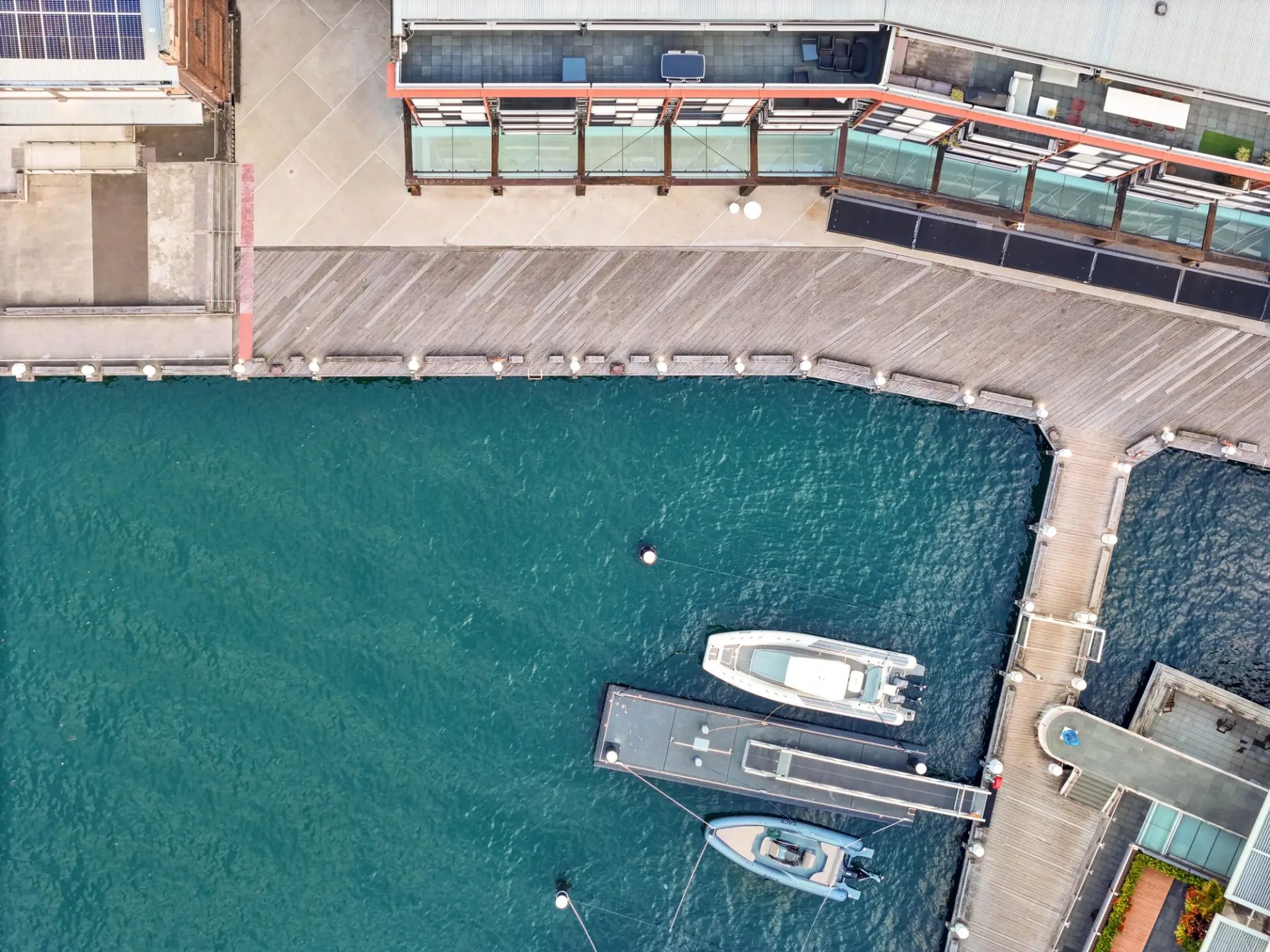
Five apartments arranged around Sydney Harbour views, with two basement levels. Completed in 2021, with architecture and interiors by Xpace.

Map locationDarling Point · Indicative location
Xpace (Architecture & Interiors) · SHORE (Construction Delivery)
Explore project details

Local planning framework

Key rules under Fairfield LEP 2013 and DCP 2024

R2 Low Density Residential covers about 85% of the council's sampled urban residential land. Height is capped at 9 metres and the floor space ratio at 0.45:1. Dual occupancy lot sizes, flood risk precincts and rural overlays vary by precinct, so every property requires a parcel check.

  1. 01

    Envelope, floor space and dual occupancy thresholds.

    Across R2 land, Fairfield LEP 2013 caps building height at 9 metres and sets the floor space ratio at 0.45:1. Under DCP Chapter 5A, single dwellings are capped at two storeys above ground (7.2 metres to the eave and 9 metres to the ridge; 8 metres on battleaxe lots), with up to 33 square metres of double garage area and qualifying basement area excluded from floor space calculations. Single houses require a 4.5 metre minimum front setback (5.5 metres to the garage), 900 millimetre ground floor side setbacks, a 4 metre upper floor rear setback, three on-site car spaces (two behind the building line), at least 60 square metres of private open space with a 5 metre by 6 metre level soft soil area and 30% of the site as soft soil landscaping. Under Clause 4.1A, dual occupancy in R2 requires at least 900 square metres across about 80% of sampled R2 land in western and central suburbs, 600 square metres across about 19% in eastern suburbs and 4,000 square metres on mapped Abbotsbury hillside lots, with a 15 metre front building line width under DCP Chapter 6B. Within 800 metres walking distance of the Fairfield and Cabramatta town centres and Canley Vale station, Housing SEPP section 168 sets a 450 square metre lot and 12 metre frontage for eligible dual occupancy applications. Clause 4.1B allows an existing lawfully built R2 dual occupancy to be subdivided into lots of at least 300 square metres, while Clause 4.1C Area 1 pockets allow combined applications for attached or semi-detached homes on 200 square metre lots.

  2. 02

    Zero local heritage conservation areas and 103 listed items.

    Schedule 5 Part 2 of Fairfield LEP 2013 lists no local heritage conservation areas (`Nil`) and the only mapped conservation polygon in the LGA is the Spotted Gum forest inside the non-residential Western Sydney Parklands corridor. Instead, heritage controls focus on 103 individual items in Schedule 5 Part 1 and three archaeological sites in Part 3 (two of State significance in Bonnyrigg and one of local significance in Carramar). Listed items and properties near them need council consent plus a Heritage Impact Statement under DCP Chapter 3B.

  3. 03

    Complying development eligibility and two stage driveway rules.

    With no mapped conservation area over residential land in the council area, a new house may be able to use the Housing Code where the lot meets every State standard. A dual occupancy may use the Low Rise Housing Diversity Code only where the lot meets the mapped 600 or 900 square metre minimum and a 15 metre width. However, complying development is excluded or restricted on floodways and high flood risk lots, listed heritage items, land within 100 metres of mapped coastal wetlands along tidal reaches of the Georges River, Prospect Creek and Cabramatta Creek, mapped acid sulfate soils in Class 1 or 2 and BAL-40 or Flame Zone bushfire lots. Even under complying development, Council requires a Stage 1 Vehicular Crossing Location Authorisation before a private certifier can issue a certificate and driveways must sit at least 1 metre clear of street trees and poles while preserving a 5.5 metre on-street parking space.

  4. 04

    Flood precincts, fill limits, Abbotsbury slopes and Horsley Park acreage.

    While the state flood planning layer shows no polygons here, Council maps Low, Medium and High Flood Risk Precincts across 15 adopted flood planning maps covering the Georges River, Prospect Creek, Cabramatta Creek, Orphan School Creek, Green Valley Creek and western rural creeks; habitable floors generally require the 1% AEP (100-year) flood level with 500 millimetres freeboard. Across residential zones, fill is capped at 1 metre contained within the building footprint by a drop-edge beam, with no fill permitted outside the footprint. Steep R2 lots in Abbotsbury mapped on the Landslide Risk Map (Clause 6.7) need a geotechnical assessment because Council must weigh landslide risk before consent. In Horsley Park's RU4 rural zone (1 hectare minimum lot size, 2 hectare dual occupancy threshold, 15 metre front setback (or the existing average where less) and 30 metres on Wallgrove Road and Elizabeth Drive, side and rear setbacks of 5 metres plus a 1,600 square metre wastewater disposal area), roughly a third of sampled rural land also sits inside the Western Sydney Airport 20 to 25 ANEC noise contour, where Council says new residential subdivision and secondary dwellings are generally prohibited and rebuilds rely on existing use rights and AS 2021 acoustic construction.

How a Fairfield project runs

From lot feasibility to completion

Across Fairfield City, the relationship between lot width, flood levels, soft soil zones and off-street parking decides how much floor area a two storey home or dual occupancy can achieve. We test those controls before locking in the architectural layout.

  1. Confirm title, council and mapped lot thresholds.

    We check the boundary, easements, zoning, the 0.45:1 R2 floor space ratio, the 9 metre height limit and whether the site sits in the 600 square metre or 900 square metre dual occupancy map area or a Clause 4.1C narrow lot area.

  2. Test flood levels, soil and rural overlays.

    We review Fairfield's 15 adopted flood planning maps, overland flow paths, acid sulfate soils along the creek estuaries, landslide risk on sloped Abbotsbury blocks and bushfire or Western Sydney Airport noise contours in Horsley Park.

  3. Coordinate building envelope, parking and driveway clearance.

    We model the 7.2 metre eave and 9 metre ridge envelope, the 30% soft soil landscaping requirement, the three space single dwelling parking rule and Council's Stage 1 vehicular crossing clearance from street trees and poles.

  4. Manage approval, engineering and construction.

    Whether the project moves through a complying development certificate or a council development application, our team coordinates structural and hydraulic engineering, certification and construction through to handover.

How we work

Choose the delivery path that suits your stage

For a property in Fairfield City, you can come to us with a redevelopment brief or with architectural plans ready for construction pricing.

Everything from feasibility to handover.

One team handles feasibility, architectural design, interior detailing, engineering, council or certifier approvals and construction. This suits owners replacing an older cottage, planning a dual occupancy on a qualifying lot or designing a large residence in the western estates or Horsley Park.

Construction from your architect's plans.

If you already hold completed drawings or a development consent, we review the structural, civil and flood detailing, confirm driveway and servicing conditions and provide a clear construction program and contract price.

Explore our work

Completed SHORE homes near the Fairfield Council area

[ ULM ]

[ ULM ]

Ermington, NSW

Completed 2023

A two storey contemporary residence on an 850 square metre lot in Ermington, completed in 2023 with five bedrooms, four bathrooms and a two car garage. Peak Architects designed the architecture and SHORE delivered the interiors, facade and construction. Ermington is about 9.2 kilometres from Old Guildford in a straight line between the calculated centres of the two suburb areas.

Architecture
Peak Architects
Interiors & facade
SHORE
[ CHATEAU ]

[ CHATEAU ]

Denham Court, NSW

Completed 2021

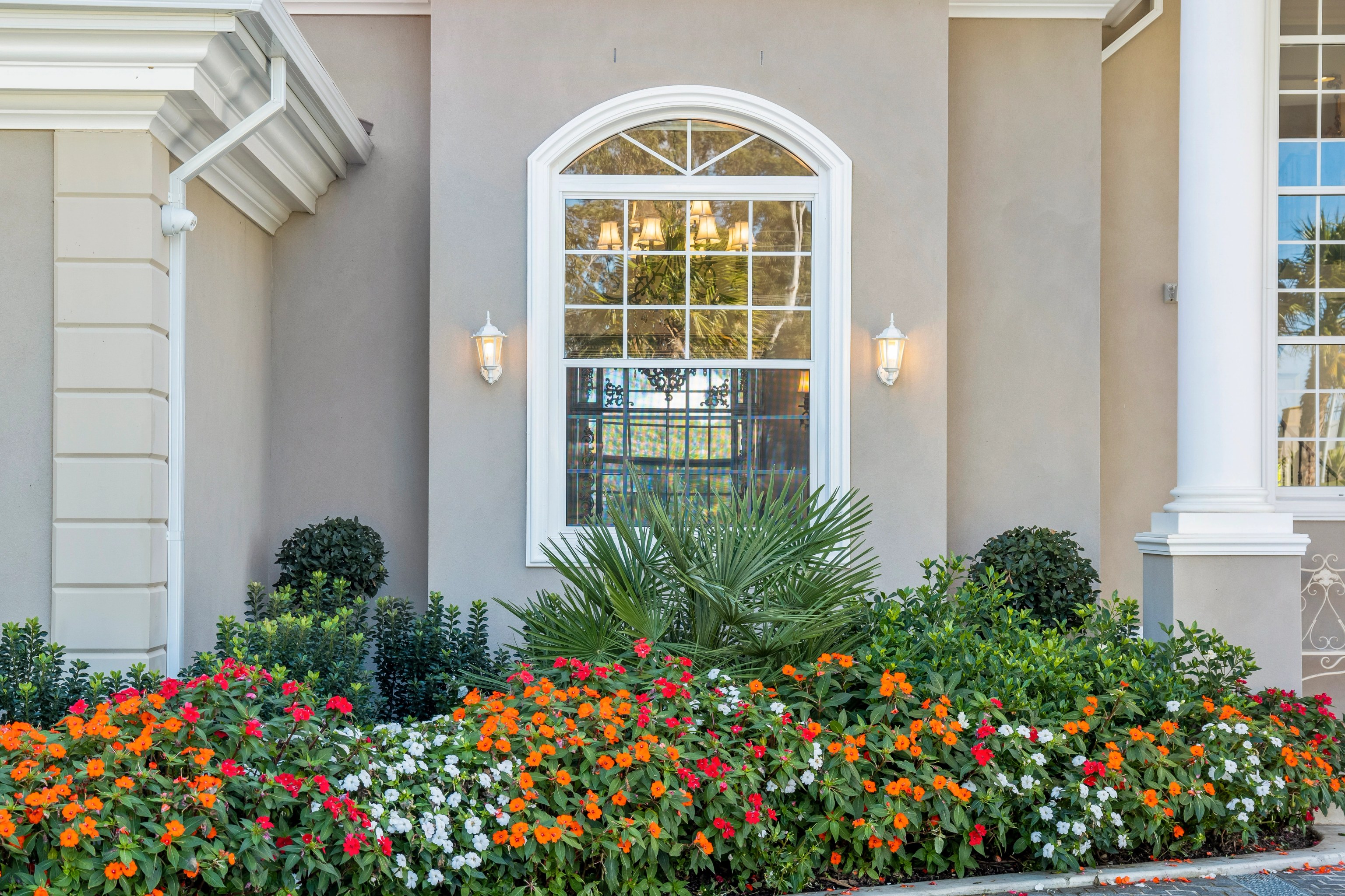
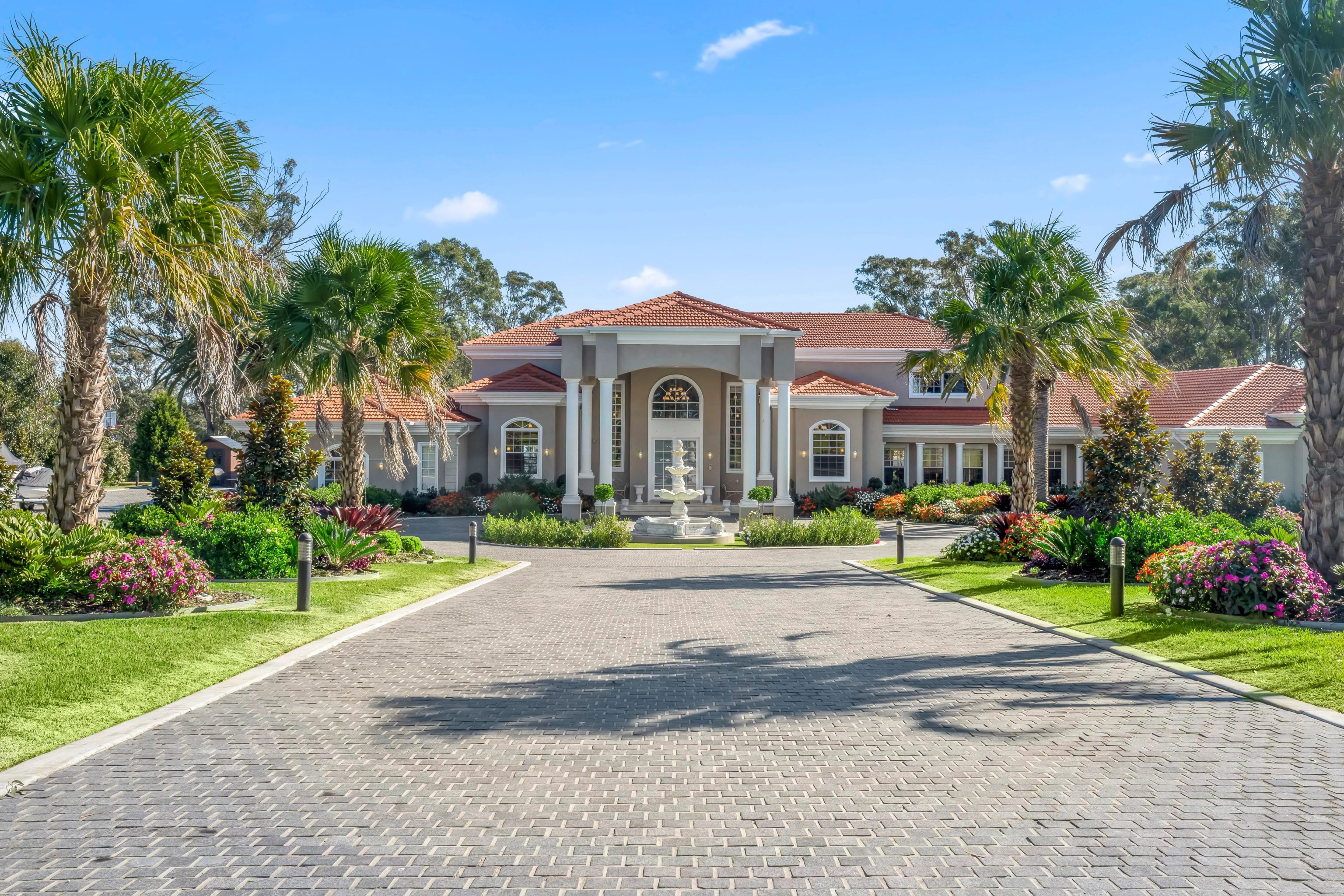
A French Provincial acreage estate set on five acres in Denham Court, completed in 2021 with 1,512 square metres of building area, seven bedrooms and four bathrooms. SHORE designed the architecture, interiors and facade and built the residence. Denham Court is about 10.6 kilometres from Bonnyrigg Heights in a straight line between the calculated centres of the two suburb areas.

Architecture
SHORE
Interiors & facade
SHORE
[ CHALK ]

[ CHALK ]

Beverly Hills

Completed 2026

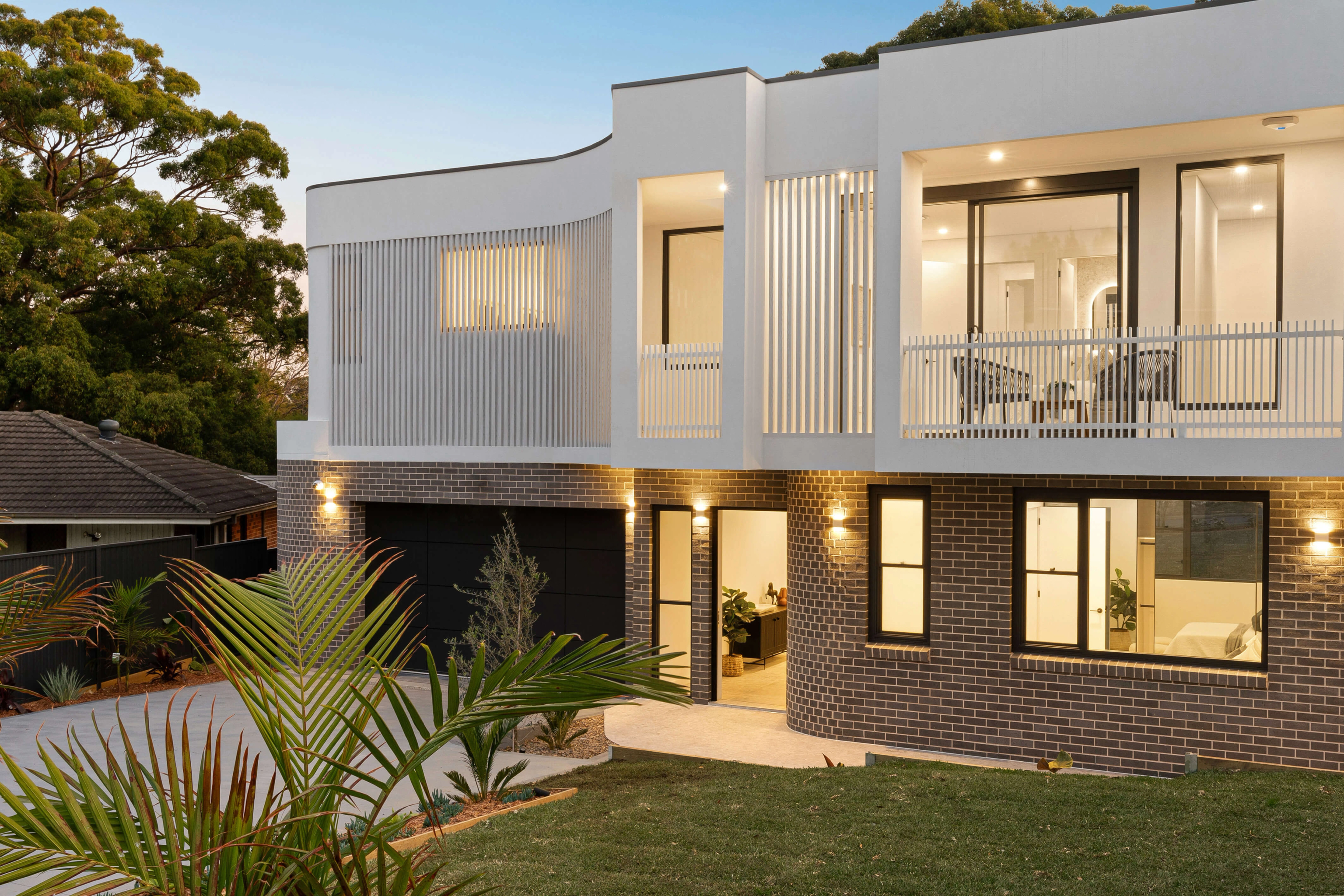
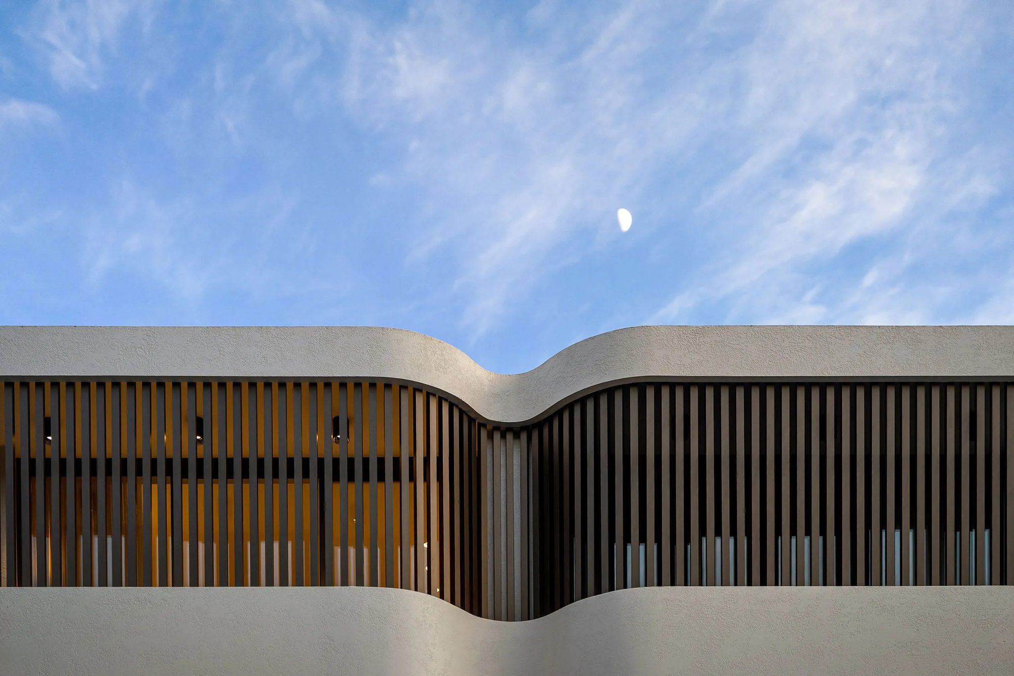
A Streamline Moderne brick and natural stone home on a 613 square metre suburban block in Beverly Hills, completed in 2026 with five bedrooms, three bathrooms and four car spaces. SHORE designed the architecture, interiors and facade and built the home. Beverly Hills is about 11.9 kilometres from Lansvale in a straight line between the calculated centres of the two suburb areas.

Architecture
SHORE
Interiors & facade
SHORE

Council directory

Suburbs within the Fairfield Council area

Our metropolitan service directory assigns 24 suburbs to this council guide: Abbotsbury, Bonnyrigg, Bonnyrigg Heights, Bossley Park, Cabramatta, Cabramatta West, Canley Heights, Canley Vale, Carramar, Edensor Park, Fairfield, Fairfield East, Fairfield Heights, Fairfield West, Greenfield Park, Horsley Park, Lansvale, Mount Pritchard, Old Guildford, Prairiewood, Smithfield, St Johns Park, Wakeley and Wetherill Park.

Land use varies sharply across these localities. The northern parts of Wetherill Park and Smithfield and pockets of Fairfield East are dedicated industrial and employment estates where housing is not permitted, while residential work takes place in their established housing pockets. Horsley Park is predominantly RU4 rural acreage with a 1 hectare minimum subdivision size and on-site wastewater requirements. Because Smithfield and Mount Pritchard cross into Cumberland and Liverpool councils and parts of Cecil Park, Yennora and Villawood fall inside Fairfield's statutory boundary, we check the parcel's council before advising on controls.

Questions to bring early

Common questions from Fairfield City property owners

Does an R2 block in Fairfield City allow a dual occupancy?

It depends on which side of the council's Lot Size for Dual Occupancy Development Map your property sits on. Under Clause 4.1A of Fairfield LEP 2013, R2 lots in eastern suburbs such as Cabramatta, Canley Vale, Canley Heights, Carramar, Fairfield, Fairfield East, Fairfield Heights and Old Guildford generally need a minimum of 600 square metres, while R2 lots across western and central suburbs such as Bossley Park, Edensor Park, Bonnyrigg Heights, St Johns Park, Wakeley, Greenfield Park, Prairiewood, Cabramatta West, Lansvale and Mount Pritchard need a minimum of 900 square metres (and 4,000 square metres on mapped Abbotsbury hillside lots), plus a 15 metre width requirement at the building line under the DCP. Within 800 metres walking distance of the Fairfield and Cabramatta town centres and Canley Vale station, the State's low and mid rise housing policy lets a development application rely on a 450 square metre lot with a 12 metre frontage instead. That State standard excludes Georges River probable maximum flood land, bushfire prone land and heritage items and does not change the complying development minimum.

Why does Fairfield require three car spaces for a single house plus a separate driveway approval?

Under Chapter 5A of Fairfield City Wide DCP 2024, a single dwelling house must provide three on-site car parking spaces, with at least two located behind the building line. The driveway must preserve one 5.5 metre on-street parking space in front of the lot and keep 1 metre clear of street trees, power poles and meter boxes. Council also runs a two stage vehicular crossing process: even when your home is approved through a private certifier under complying development, you must obtain a Stage 1 Notice of Location Authorisation from Council before the certifier can issue the certificate.

How do flood maps affect building in Cabramatta, Canley Vale, Fairfield or Lansvale?

Although the state flood planning portal layer is blank for Fairfield, Council applies 15 adopted flood planning maps drawn from its mainstream and overland flow flood studies. Properties are classified into Low, Medium or High Flood Risk Precincts under DCP Chapter 11. For residential builds, habitable floor levels must generally be set at or above the 1% AEP (100-year) flood level with 500 millimetres freeboard, fill outside the building footprint is prohibited and flood-control lots require hydraulic engineering certification before a development application or complying development certificate can proceed.

What special rules apply to rural acreage homes in Horsley Park?

Most rural holdings in Horsley Park are zoned RU4 Primary Production Small Lots with a 1 hectare minimum lot size, a 2 hectare dual occupancy threshold and a 9 metre height limit (with walls capped at 6.5 metres above natural ground level under DCP Chapter 4A). Because the rural area is unsewered, new homes require a 1,600 square metre on-site wastewater disposal area, 15 metre front setbacks or the existing average where less (30 metres on Wallgrove Road and Elizabeth Drive) and side and rear setbacks of 5 metres. Under Clause 5.5 of the LEP, a rural secondary dwelling may not exceed 60 square metres or one tenth of the main house floor area (whichever is larger) and must sit within 10 metres of the main dwelling. On properties inside the Western Sydney Airport 20 to 25 ANEC noise contour, new residential subdivision and new secondary dwellings are generally prohibited, so replacing an existing home relies on proving existing use rights and meeting AS 2021 acoustic standards.

Next step

Start a conversation about your Fairfield property

Tell us the suburb and the lot dimensions, along with the home you have in mind. We will check the zoning, dual occupancy threshold, flood mapping and approval pathway before drawings begin.

Discuss my property
AboutProjects