Extend what is there.
Additions can keep the existing footprint and avoid fresh excavation into a slope or wet ground. We look at the structure first, then the upper level the envelope allows.

Queenscliff / Houses beside the lagoon and the beach
Most Queenscliff homes are apartments, so a freestanding house here is a rare thing to rebuild or extend. We help owners read the ground first, from the low land near Manly Lagoon to the streets that climb above the beach.
AVILA / Avalon Beach / Under Construction
01 / The proposition
For builders in Queenscliff, the first question is which part of the suburb your house sits in. Lower streets run toward Manly Lagoon and its entrance at Queenscliff Beach. Higher streets sit on mapped slopes above the sand.
The name suggests Manly, yet every residential point we sampled falls under Warringah LEP 2011. Its 2011 Warringah DCP still sits beside it. A single plan for the whole council area has been exhibited but not yet made.
At the 2021 Census, 80.1% of occupied dwellings in Queenscliff were flats or apartments and 17.0% were separate houses. A house lot here is uncommon, which makes a careful brief worth the effort.
Low ground or high ground
Near the lagoon, the useful first document is council's flood information for the lot. On the slope, it is a geotechnical assessment. We sort out which one leads before anyone draws a floor plan, because each one shapes floor levels, excavation and the cost of the structure.
Select a pin or drag to explore
Map data: Esri, HERE, Garmin · © OpenStreetMap contributors
Darling Point · residential
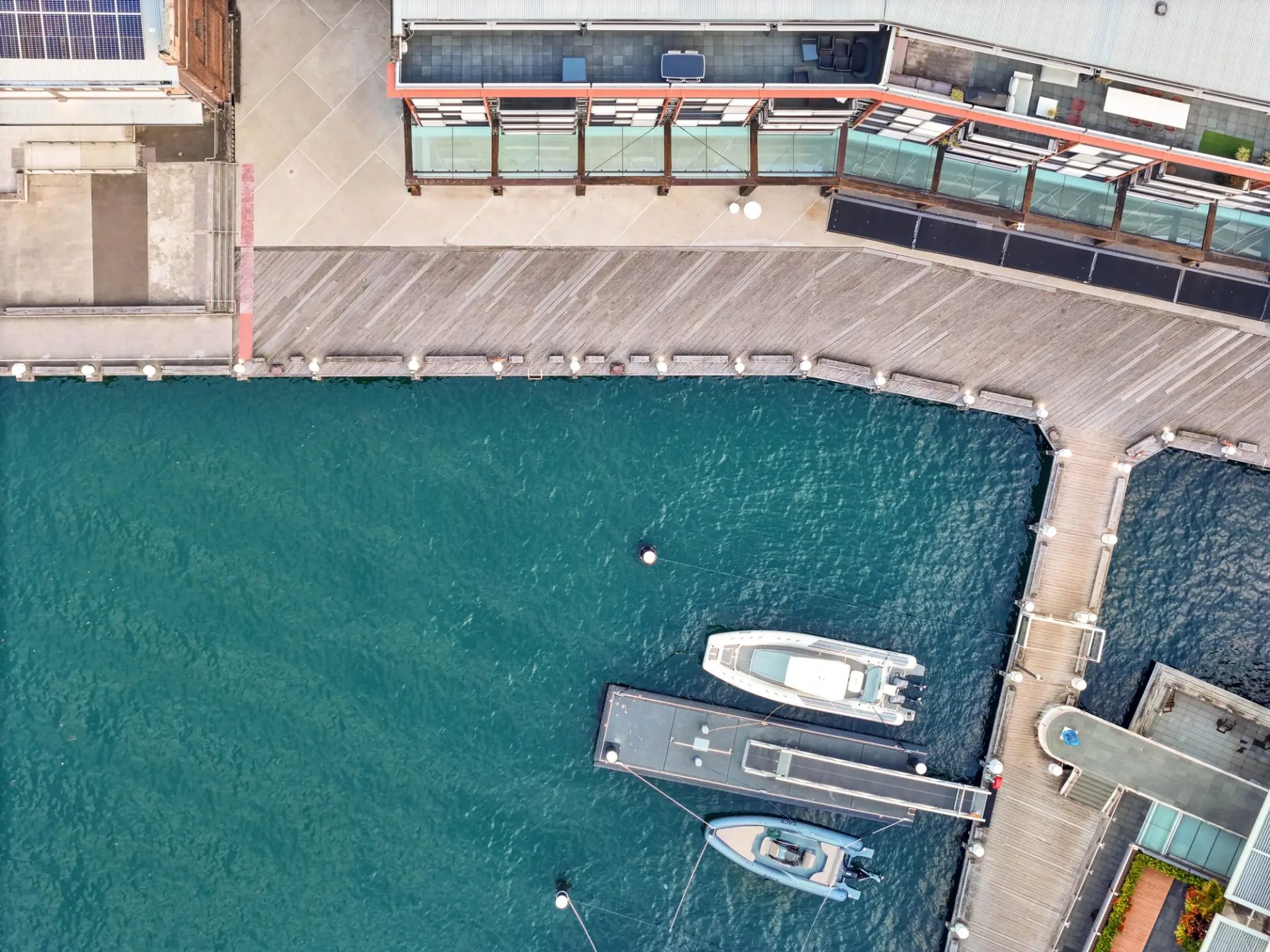
Five apartments arranged around Sydney Harbour views, with two basement levels. Completed in 2021, with architecture and interiors by Xpace.
Queenscliff planning notes
Our house samples landed on R2 zoning, capped at 8.5 metres, where the lot map reads 450 square metres. The apartment blocks we sampled are R3 with an 11 metre cap. Without a mapped floor space ratio, building bulk comes down to height, walls, envelope and garden area. Read these as examples from particular streets.
Every residential point we sampled is Landslip Risk Area B. Steeper Area C land also exists in the suburb. Council expects an engineer's early slope review to accompany any DA there.
The 2013 Manly Lagoon study names Queenscliff and the lagoon entrance at its beach. Whether your own lot is flood prone is answered by a council report, not the study.
Two sandstone wall items on Pavilion Street, several houses and the coastal cliffs area are locally listed. Those listings take the affected part of a lot out of complying development.
Acid sulfate soils are mapped as Classes 1, 3 and 5 in parts of the suburb. The class decides whether excavation needs consent and a management plan.
How a Queenscliff brief comes together
Queenscliff houses sit among apartment buildings and on varied ground. Our order of work reflects that.
We check the zone, height and lot size map for your property, plus any listed item or wall nearby. Our samples found house blocks limited to 8.5 metres and apartment land to 11.
Sloping land calls for a geotechnical engineer. Flood advice joins the team where council information shows the lot is affected. Their findings set the limits for excavation and floor levels.
The DCP wall height and side envelope decide how much upper floor fits. We model the form before committing to rooms.
Access and parking are confirmed at the site rather than assumed from a map. We set out deliveries, storage and any council permits before construction starts.
Where Queenscliff owners start
Both are possible. The ground and the planning route decide which is sensible.
Additions can keep the existing footprint and avoid fresh excavation into a slope or wet ground. We look at the structure first, then the upper level the envelope allows.
A replacement gives a clean start with modern floor levels and drainage. It also brings the full assessment for landslip, coastal and any flood matters.
Explore our work
Balgowlah, NSW
Under construction
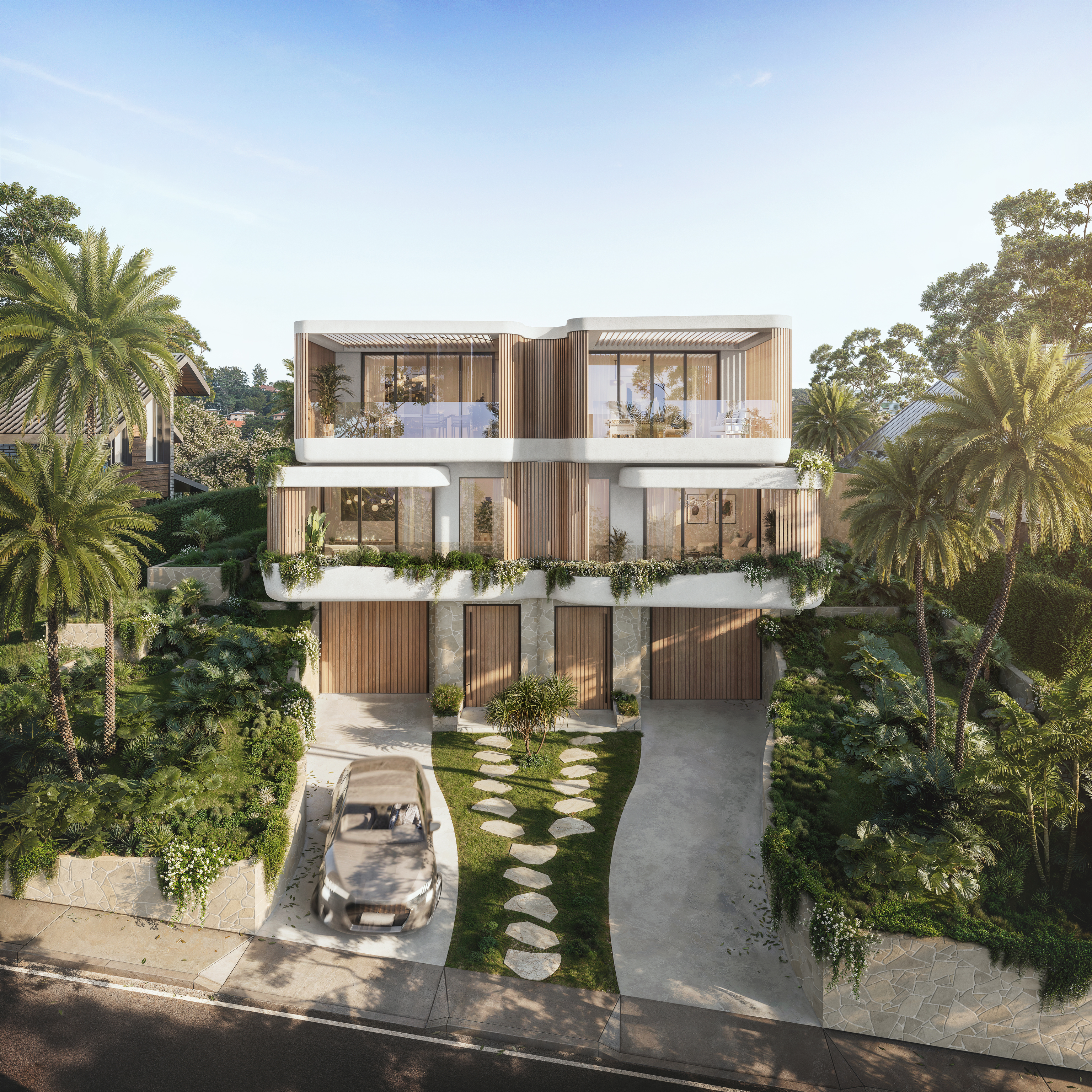
Two residences under construction in Balgowlah, about 2.6 kilometres from Queenscliff in a straight line between suburb centres. Architecture by Doroch Architects, with interiors and facade by SHORE.
Avalon Beach, NSW
Under Construction
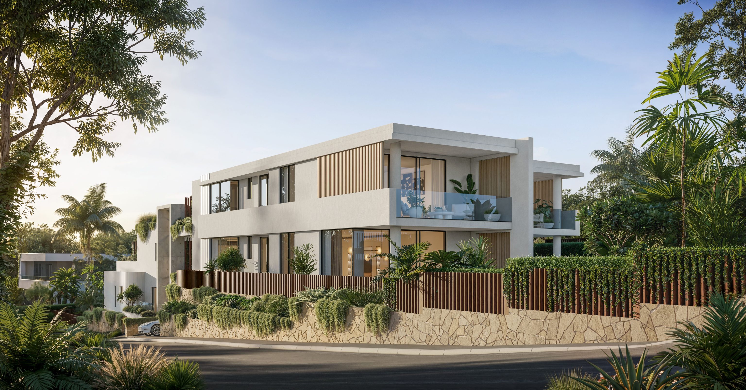
Seven senior living apartments under construction in Avalon Beach, further up the Northern Beaches. Interiors and facade by SHORE; the architect is not yet published.
Between the lagoon and the headland
Queenscliff sits between Manly Lagoon, Freshwater and the beach. The NSW coastal environment area map covers every residential point we sampled. Part of the suburb is also mapped as coastal use area. That brings coastal considerations into the assessment, such as views from public places and the bulk of the building.
Questions to bring early
Every house and apartment point we tested fell under the Warringah plan. A Manly LEP recreation area only touches the suburb's edge. Your planning certificate names the instrument for your lot.
No. The lagoon study looks at a wide catchment that takes in Queenscliff. A council flood information report or your planning certificate shows how your own lot is treated and what a consultant's report would need.
An engineer's look at the slope. Council asks for a preliminary review on Area B land and a full geotechnical report on Area C land. The findings guide excavation, retaining and footings.
Not on the mapped part of a lot holding a listed item. Next door the ordinary code tests still apply. We read the heritage map alongside the code exclusions.
Talk to us about Queenscliff