
Build onto what stands.
An addition can keep a familiar street presence. The structure and the envelope tell us how much a second level can carry.

Freshwater / Homes away from the village centre
Freshwater changes as you walk toward the water. The middle of the suburb is mapped as gentle ground while the beach side steepens toward the cliffs. We plan each house around where it sits on that line.
FERN / Balgowlah / Under construction
01 / The proposition
Freshwater builders work under Warringah LEP 2011 here, the only local plan mapped across the suburb. Its companion DCP covers wall heights, setbacks and the village. A consolidated plan for all of the Northern Beaches is still being finalised.
Council's DCP records that Freshwater was known as Harbord from 1923 until 2008. That older name survives in several listed places, including the Harbord Literary Institute and Harbord Public School.
The 2021 Census counted 41.7% separate houses and 53.1% flats or apartments among occupied dwellings. For a Freshwater house owner, the question is how to extend the home well or when to replace it.
Which part of Freshwater
Most residential points we sampled in the middle of Freshwater are Landslip Risk Area A, the lowest category. Toward the beach and cliffs the map moves to Area B and Area C. That shift changes the reports needed with an application and whether a complying development route is open at all.
Select a pin or drag to explore
Map data: Esri, HERE, Garmin · © OpenStreetMap contributors
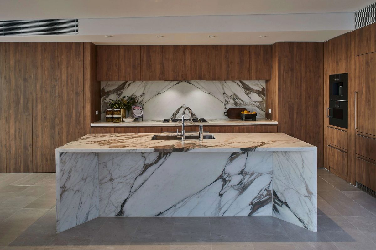
Darling Point · residential
Five apartments arranged around Sydney Harbour views, with two basement levels. Completed in 2021, with architecture and interiors by Xpace.
Freshwater planning notes
Across the grid we tested, Freshwater house land reads R2, 8.5 metres high and 450 square metres on the lot map. On the western edge a pocket maps at 600 square metres, while scattered R3 blocks go to 11 metres. There is no mapped floor space ratio. Each street can differ from these readings.
Area A covers much of the middle. Area B and Area C appear toward the beach and the suburb's edges.
Melrose, Felicita and a third house are listed, as are trees on three avenues. Complying development is unavailable for the mapped part of any listed property.
The 2023 Greendale Creek study lists Freshwater among its suburbs. Ask council for a flood information report before assuming your lot is clear or affected.
The Warringah LEP's dual occupancy floor in R2 is 800 square metres, in clause 4.1B. Whether a State housing policy changes that for a given lot is a separate check.
Our Freshwater sequence
A good Freshwater design answers the street as much as the block.
Zone, height, lot size, landslip area and any heritage listing are checked for your property. Typical Freshwater house land is R2 with an 8.5 metre limit.
Kooloora, Soldiers and Wyuna Avenues have listed street trees. We plan driveways, services and site access around them from the outset.
The DCP generally keeps walls to 7.2 metres, measured from the existing ground to the underside of the top ceiling, though steep sites can vary it under conditions. On land shown on council's envelope map, a 45 degree plane also rises from each side boundary. We test the upper floor against both before fixing rooms.
Some central lots may suit a CDC while beach side lots on Area C land cannot use one. We confirm the route once the lot's exclusions are known.
Starting points in Freshwater
The lot decides more than the wish list. We compare both paths before recommending one.
An addition can keep a familiar street presence. The structure and the envelope tell us how much a second level can carry.
Rebuilding resets floor levels, insulation and the garden together. On a larger lot we can also test whether two dwellings are possible.
Explore our work
Balgowlah, NSW
Under construction
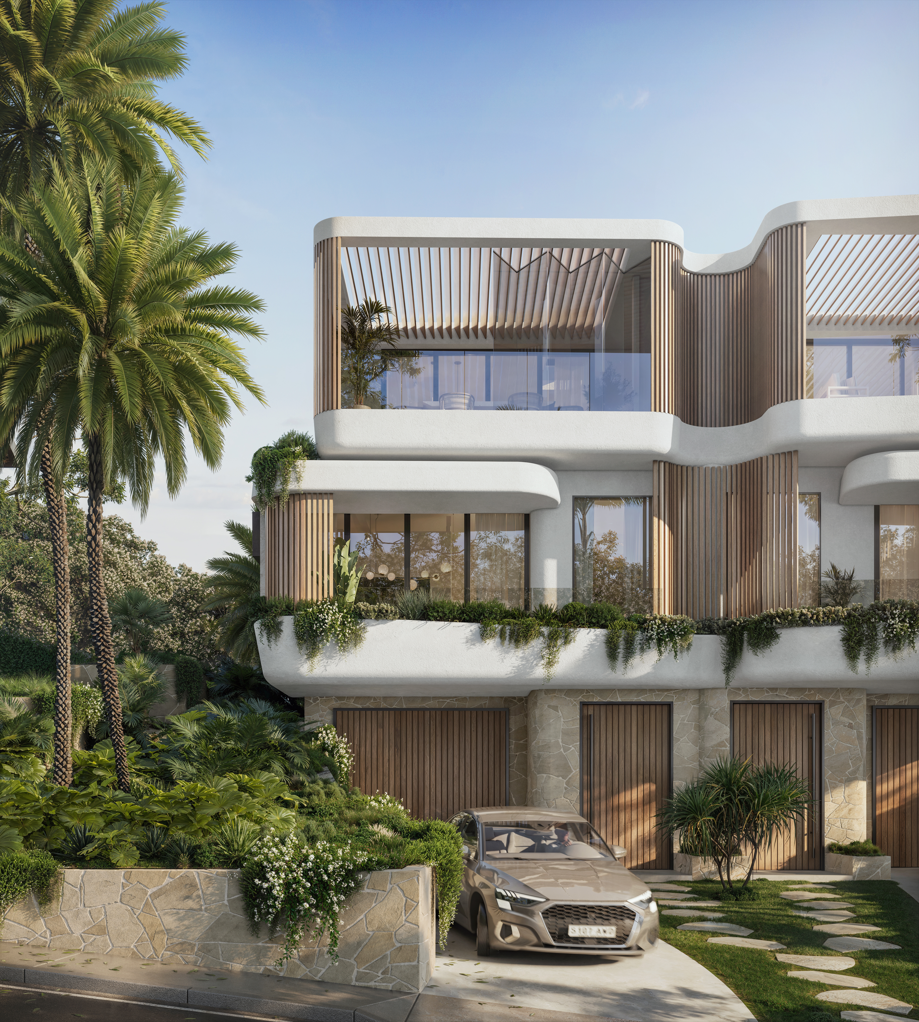
Two residences under construction in Balgowlah, about 3.0 kilometres from Freshwater in a straight line between suburb centres. Architecture by Doroch Architects, with interiors and facade by SHORE.
Village, streets and headland
Warringah DCP has a section for Freshwater Village, the small shopping centre. Within it the general built form controls do not apply and new work is asked to evoke the coastal setting. Houses on the surrounding residential streets follow the usual DCP controls instead.
Questions to bring early
It applies to the village centre. Houses on the surrounding residential streets are assessed under the general Warringah DCP controls. Your planning certificate and the DCP map confirm which applies.
Works near a listed tree need care with driveway crossings, trenching and access for machinery. We bring in an arborist early so the design avoids the root zone where possible.
Possibly, if nothing on the lot triggers an exclusion. Beach side Area C land is out, along with listed properties, the worst acid soils and the highest bush fire ratings. Freshwater's flatter Area A middle is not excluded by its landslip category.
Not under the Warringah LEP alone, which needs 800 square metres for a dual occupancy. We then check whether a State housing policy reaches the lot before settling which minimum and design controls govern.
Your Freshwater home