
Extend the family house.
An upper level or rear addition can add bedrooms without new excavation. The existing structure and the side envelope decide what is achievable.

Curl Curl / Family houses by the lagoon
Curl Curl is a suburb of houses that wraps around a lagoon and its reserves. We help owners understand what sits beneath the lot before they decide how far to dig, extend or rebuild.
FERN / Balgowlah / Under construction
01 / The proposition
Curl Curl builders deal with a lagoon suburb, separate from North Curl Curl to its north. All nine house points we tested inside its official boundary fall in R2 under the Warringah local plan.
Houses dominate. The 2021 Census found 75.5% of Curl Curl's occupied dwellings were freestanding houses. Almost half, 48.6%, had four bedrooms or more.
For an owner of one of those homes, the decision is whether to grow the existing house or start again on the same lot.
What is under the lot
Three of our nine Curl Curl samples, near the lagoon reserves, carry acid sulfate Class 5 mapping. Under Warringah LEP that class matters where works could lower the watertable near more sensitive land. A basement, pool or deep footing therefore starts with the right soil questions rather than an assumption.
Select a pin or drag to explore
Map data: Esri, HERE, Garmin · © OpenStreetMap contributors
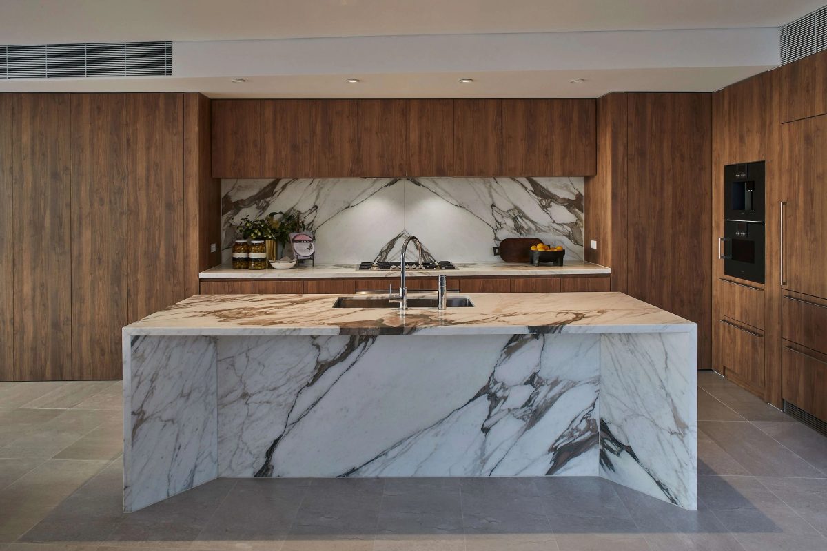
Darling Point · residential
Five apartments arranged around Sydney Harbour views, with two basement levels. Completed in 2021, with architecture and interiors by Xpace.
Curl Curl planning notes
All nine Curl Curl house points we tested came back as R2, with buildings limited to 8.5 metres and lots mapped at 450 square metres. The floor space ratio map is blank for this suburb. Lot by lot checking still matters.
A Port Jackson fig on Bennett Street is a heritage item. Work on or beside its lot needs tree protection and heritage care.
Curl Curl Lagoon sits in the lower part of the Greendale Creek catchment studied in 2023. Each lot's flood status comes from council, not the catchment study.
Most samples are Landslip Area A, rising to Area B toward the south east. On that Area B ground an engineer's first slope review goes in with any DA.
Curl Curl's 450 square metre lot mapping is a subdivision value, not a duplex right. Clause 4.1B of the local plan looks for 800 square metres before an R2 dual occupancy. State housing policy can alter that for some lots, so eligibility gets tested first.
How we plan in Curl Curl
We work through the site in the order that the evidence suggests.
Curl Curl sits in the Greendale Creek flood study area, which includes Curl Curl Lagoon. We obtain the council flood information for your lot before setting floor levels.
Where excavation is planned near mapped acid sulfate land, a preliminary assessment comes first. It tells us whether a management plan and consent for those works are needed.
The house land we checked is capped at 8.5 metres with no mapped floor space ratio. Wall height, side envelope and landscaped area in the DCP shape how big the house can be.
Engineers, the certifier and our site team work from one set of drawings. Drainage and any dewatering requirements are carried into the construction plan.
Two directions for a Curl Curl house
Each path has different soil, flood and cost questions. We price and test both before you commit.
An upper level or rear addition can add bedrooms without new excavation. The existing structure and the side envelope decide what is achievable.
Starting over resets floors, drainage and landscape together. The soil and flood checks then move to the very start of the program.
Explore our work
Balgowlah, NSW
Under construction
Two residences under construction in Balgowlah, about 3.7 kilometres from Curl Curl in a straight line between suburb centres. Architecture by Doroch Architects, with interiors and facade by SHORE.
Lagoon, beach and cliffs
Recreation land around Curl Curl Lagoon runs along the northern side of the suburb. The beach and the cliffs listed as South Curl Curl lie to the east. Parts of the suburb near the coast are mapped in the NSW coastal environment or coastal use area. Those maps add coastal considerations to an assessment rather than a ban on building.
Questions to bring early
Both use Warringah LEP 2011 and Warringah DCP 2011. They are separate suburbs with different ground, heritage and coastal mapping. We assess your lot on its own maps rather than the neighbouring suburb's.
Not necessarily. The Greendale Creek study covers the catchment as a whole. Council's flood information for your lot shows whether it is affected and what a flood management report must address.
It can be, with the right checks. Class 5 concerns works that could lower the watertable near more sensitive land. A preliminary assessment shows whether a management plan and consent are needed.
Possibly. The Housing Code shuts out the steepest landslip category, listed items, the two most acidic soil classes and very high bush fire ratings. Class 5 soils and Area A or B slopes do not shut it out on their own.
A Curl Curl conversation