
Rethink the existing home.
We test whether better circulation and outdoor connections meet the brief before a larger addition or replacement is drawn.

Clontarf / Homes beside the harbour
A harbour outlook raises questions about the garden, the ground and the edge of the building. We shape your Clontarf home around all three, with design and construction worked out together.
FERN / Balgowlah / Under construction
01 / The proposition
For builders in Clontarf, the first design decision is how the house meets its outdoor spaces. A terrace can frame the water beautifully and still leave the garden several awkward levels away. We plan how you will move through the property before fixing living rooms, stairs and parking.
In 2021, separate houses made up 94.3% of occupied private dwellings in Clontarf. When a family weighs renovating against rebuilding, the real test is what each option does for daily life on that block. Keeping an easy link to the garden can matter as much as gaining an upper room.
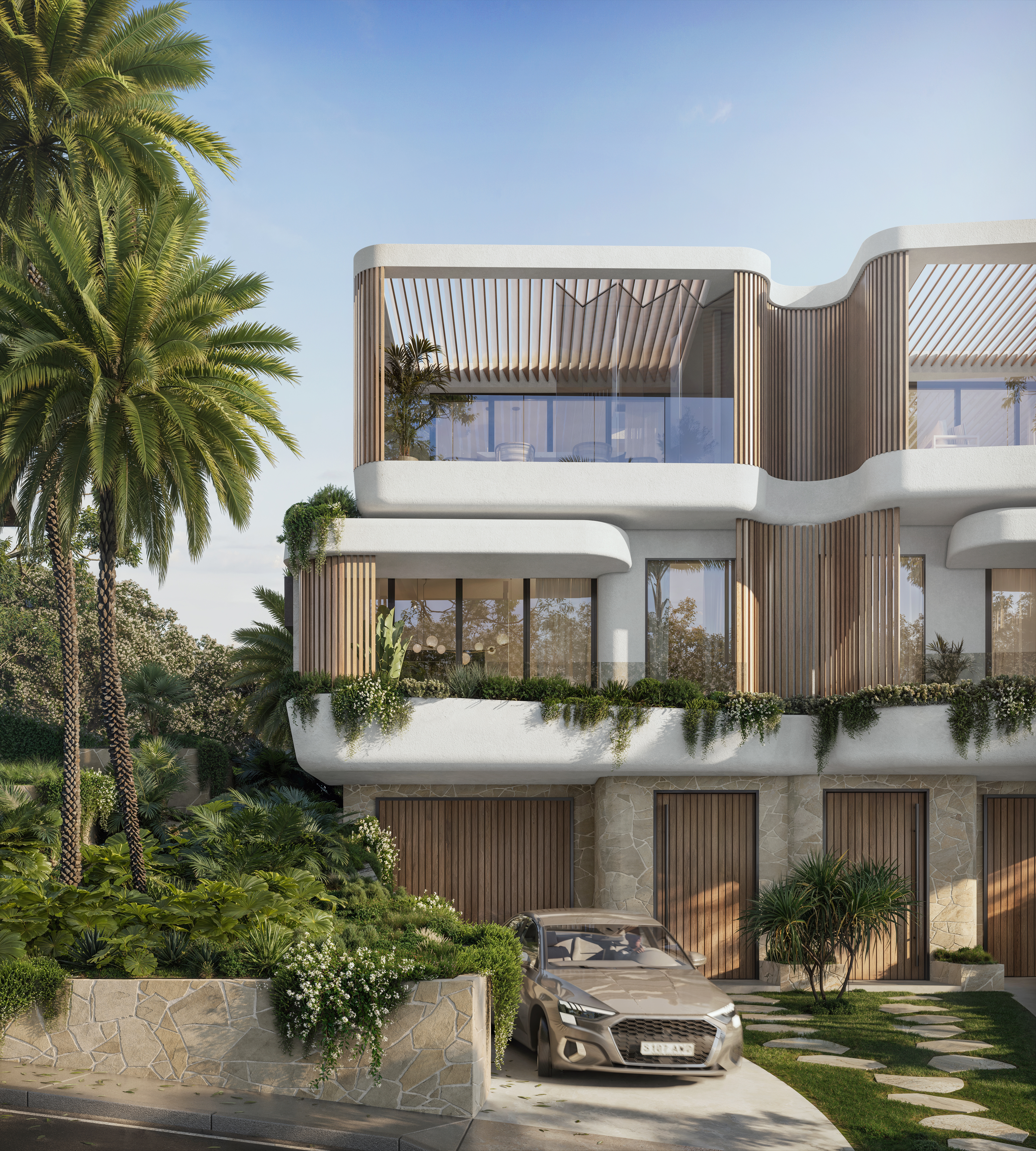
Our nearby FERN project is in Balgowlah, about 1.5 kilometres from Clontarf measured directly between the two suburb centres. It is a pair of residences and is still under construction. Where your own land allows a duplex, its design is a useful reference point.
The lower level
Clontarf's planning maps include acid sulfate soil classes 3 and 5. For a basement or pool, that puts the mapped land and the depth of digging among the first questions. We talk through ground investigations and spoil access before the lower floor becomes central to the design. A harbour view tells us nothing about the soil or where a foreshore building line falls.
Select a pin or drag to explore
Map data: Esri, HERE, Garmin · © OpenStreetMap contributors
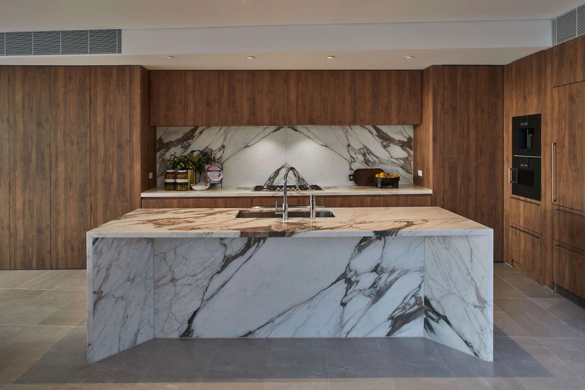
Darling Point · residential
Five apartments arranged around Sydney Harbour views, with two basement levels. Completed in 2021, with architecture and interiors by Xpace.
Before a Clontarf concept is fixed
The two Clontarf residential samples are zoned R2. They show an 8.5 metre height limit, an FSR of 0.4:1 and a minimum lot map value of 1150 square metres. Values differ elsewhere in Clontarf and vary by street. They do not set a minimum property size for all work on existing houses.
The outlook and the planning boundary are different things. We confirm which mapped controls apply before placing a waterfront terrace or moving the building towards the harbour.
Acid sulfate soil mapping has to be read with the works proposed. It does not mean every Clontarf site holds the same material.
A complying development certificate depends on the proposal meeting the relevant code and land requirements. Heritage and other mapped constraints may instead call for a development application with supporting advice.
Where a property needs retaining or excavation, machinery access and spoil handling are assessed with the structural design. Waterfront material detailing can also affect scope where exposure warrants it.
From terrace to ground
We develop the section alongside the floor plan, so every change in level earns its place.
Show us where you eat outside, where the children play and the views you enjoy from inside. Those routines tell us which connections to keep or create.
The boundary, trees and any mapped foreshore or heritage constraints go on the survey. We flag where specialist advice could change the footprint.
We compare a basement with other ways to fit parking and storage. Ground advice and a workable route for removing material make that comparison real.
Doors, terrace drainage and external finishes are resolved for the assessed conditions. Those choices carry into the approved documentation and the construction scope.
Shaping a Clontarf residence
Where we join depends on how far your design has come. Either way, the house and its setting are read together.
We test whether better circulation and outdoor connections meet the brief before a larger addition or replacement is drawn.
If you already have an architect, we review the proposed levels and construction details together. We agree who carries the remaining engineering, selections and site work.
Explore our work
Balgowlah, NSW
Under construction
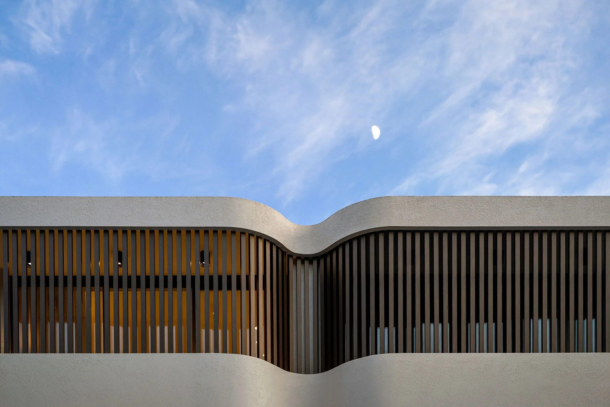
Curved render sits alongside natural stone and planting in this pair of homes. Explore the Balgowlah project when considering your own residential brief.
Clontarf Reserve and the foreshore
Clontarf's heritage map includes the harbour foreshores and Clontarf Park. The Middle Harbour Syphon is also a State heritage item, with an aqueduct at Clontarf Reserve. If your work is near these places, we confirm the item's boundary and how the work relates to its setting. A new driveway, retaining wall or excavation can need care even when the house itself is not listed.
Questions to bring early
Not on its own. The property's mapped controls need to be checked against the survey before any addition is drawn towards the water. The line and any restrictions are confirmed for the actual lot.
Where the heritage features are and whether your work affects their setting. The Middle Harbour Syphon includes an aqueduct at the reserve. Ground conditions, the proposed depth and the route for construction equipment also need assessing.
No. That value appears at the residential points sampled for this guide. Other lot map values occur elsewhere in the suburb. A subdivision standard is also a separate question from what can be built on an existing lot.
Explore the idea early, then test it before relying on it. Clontarf has mapped acid sulfate soil classes that can affect the investigations needed for excavation. Groundwater, retaining and spoil removal also shape the final scope.
Your harbour and garden brief
Bring photos of the outdoor spaces and any survey or sketches you have. We will talk through the connections you want to improve and the site questions that could shape them.
Plan your Clontarf home