Skip to page content
SHORE

Council guide / Camden

Architectural builders for homes and acreages in the Camden council area

Acreage estates in Grasmere and Cobbitty sit beside masterplanned Oran Park and Harrington Park. Camden uses site coverage and building envelopes rather than floor space ratios, with floodplain and bushfire rules shaping new homes.

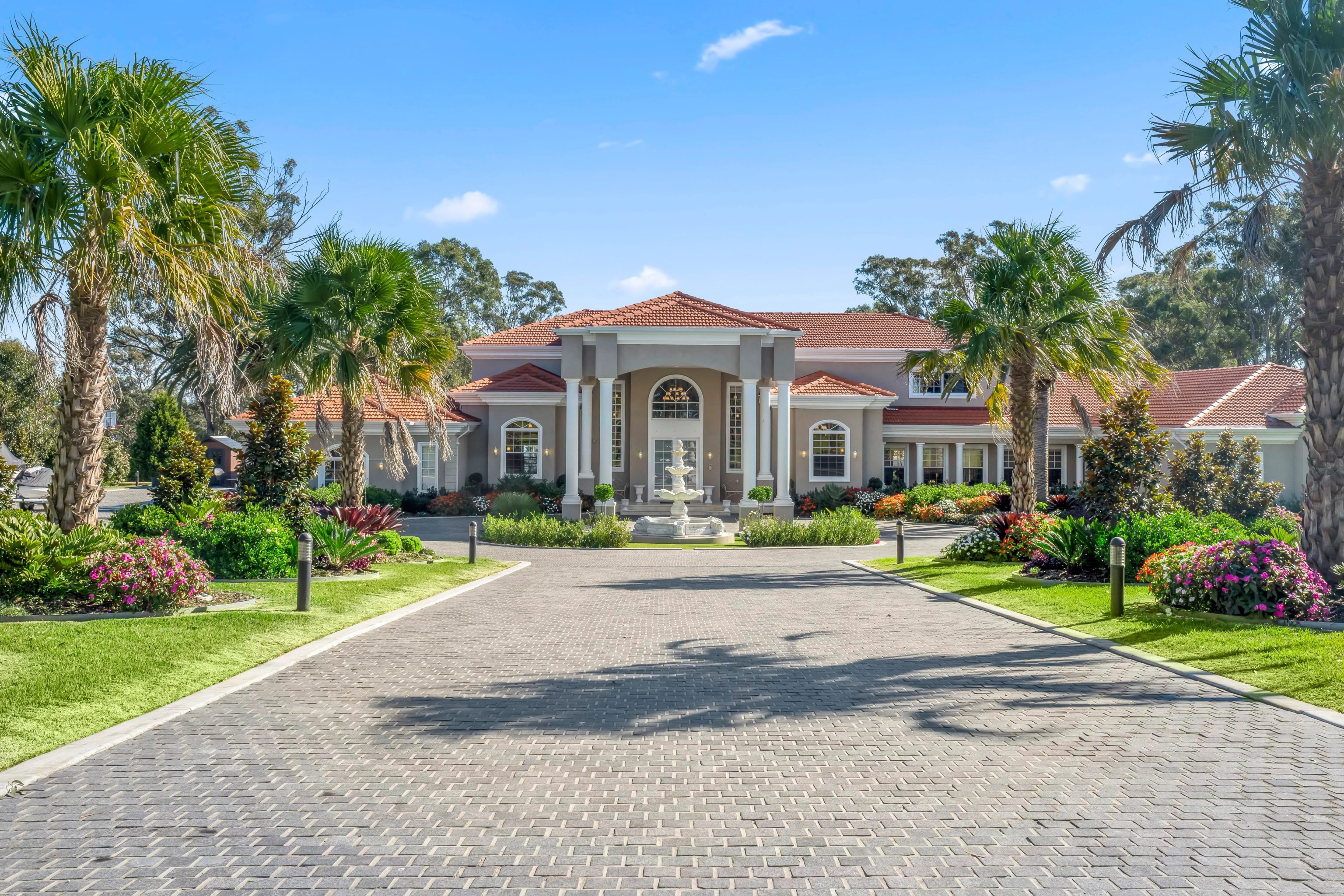
CHATEAU / Denham Court / Completed 2021

01 / The proposition

Rural acreage, historic towns and growing communities

We are builders for homeowners across the Camden council area, where rural acreage estates in Grasmere and Cobbitty sit alongside family neighbourhoods in Harrington Park and new growth precincts in Oran Park. Most property here falls under Camden LEP 2010 while newer masterplanned release precincts answer to the Western Parkland City planning policy. Camden DCP 2019 sets the detailed design standards for land under the local plan.

Housing across Camden differs fundamentally from inner Sydney. Census metrics from 2021 record separate freestanding houses at 92.5% of occupied private dwellings across Camden, while semi detached houses, terraces and townhouses accounted for 5.9% and multi unit apartments represented just 1.0%. Generous lot proportions and family living shape almost every residential brief.

Our studio creates turnkey architectural residences, rural estates and complex structural transformations. We also collaborate with independent architects to build their tendered designs.

Site evaluation

Critical factors before committing to design

First, confirm your council and planning instrument. Release precincts around Oran Park, Catherine Field and Leppington follow state growth centre rules while established suburbs answer to the Camden local plan. Suburbs such as Bringelly, Leppington, Mount Annan and Gregory Hills cross municipal borders, so council jurisdiction must be confirmed at parcel level. Second, investigate site hazards early. Nepean River, Narellan Creek and South Creek flooding, overland flow paths and mapped bushfire affect large swathes of land. Third, establish your servicing. Acreage lots in areas such as Grasmere, Ellis Lane or Bickley Vale often require on site sewage management and dedicated bushfire water reserves rather than standard town mains.

We have not yet constructed a residential dwelling within the Camden local boundary. Representative completed work in nearby regions, including a five acre estate at Denham Court, a white brick home at Beverly Hills and a coastal duplex at Woonona, is profiled below.

SHORE Design + Build Architectural Cartography

Loading Architectural Map...
SHORE DESIGN + BUILD · LOCATIONS ARE APPROXIMATE

Select a pin or drag to explore

Map data: Esri, HERE, Garmin · © OpenStreetMap contributors

ALOFT project in Darling Point
Loading photo…
Completed 2021

Darling Point · residential

[ ALOFT ]

Five apartments arranged around Sydney Harbour views, with two basement levels. Completed in 2021, with architecture and interiors by Xpace.

Map locationDarling Point · Indicative location
Xpace (Architecture & Interiors) · SHORE (Construction Delivery)
Explore project details

Statutory controls

Rules that shape custom homes and additions here

Residential bulk in Camden is governed by maximum site coverage and building envelopes rather than statutory floor space ratios. Controls vary significantly between established town streets, new release precincts and rural residential acreage.

  1. 01

    Site coverage and building envelopes replace floor space ratios.

    Across our map sample, 98% of urban residential land in Camden carries no mapped floor space ratio. Under Camden DCP 2019, two storey houses on allotments of 450 square metres or larger are capped at 50% site coverage on the ground floor and 30% on the upper level (35% upper floor on smaller allotments), while keeping a minimum 30% landscaped area across the lot.

  2. 02

    Heritage protections focus on two historic conservation precincts.

    Heritage conservation areas in Camden are limited to the Camden Town Centre and Struggletown near Narellan, covering less than 1% of the local government area. Within both precincts, the Housing Code cannot be used for new houses or additions (only for pools, detached outbuildings and certain other detached works). Additions must sit predominantly to the rear while retaining original roof forms and unpainted masonry.

  3. 03

    Nepean River, Narellan Creek and South Creek catchments dictate floor levels.

    Council's Flood Risk Management Policy covers the Nepean River catchment (including Narellan Creek) and the Upper South Creek catchment. Mainstream flood controls set habitable floor clearances 500 millimetres above the 1% annual flood level (with 300 to 500 millimetres of freeboard along mapped overland flow paths), while any part of a building below the flood planning level must use flood compatible materials.

  4. 04

    Bushfire exposure, soil salinity and earthworks shape engineering.

    Bushfire prone land covers more than half of the council area overall and nearly a fifth of residentially zoned points, requiring bushfire attack level checks and construction upgrades where mapped. Under Camden DCP 2019, residential cut and fill is limited to 1 metre and areas with saline soils require salinity management and suitable concrete slabs, masonry and piping.

Delivery methodology

From geotechnical survey to client handover

Building on larger lots and undulating terrain demands careful upfront engineering so ground conditions, water flows and bushfire buffers never compromise the architecture.

  1. Assess the land.

    We review the zoning, estate design guidelines, bushfire attack level and any flood planning mapping that touches the property.

  2. Design for the site.

    The floor plan and building orientation are crafted around prevailing breezes, natural slopes, sun exposure and required setbacks from riparian corridors or bushfire interfaces.

  3. Test soils and services.

    Geotechnical drilling checks for soil salinity and ground stability. For acreage blocks, we engineer on site effluent disposal systems and rainwater storage.

  4. Coordinate approvals and build.

    We manage the approval path through council or private certification, lock in material procurement and execute construction with transparent milestone management.

Project engagement

Two collaborative paths

Homeowners partner with us either from initial sketches to handover or to construct an existing architectural plan.

Integrated design and construction.

Our architectural and building professionals direct your project from early sketches through engineering, statutory planning and site execution under a unified contract. This method aligns budgets early and ensures absolute continuity.

Tendering and building architectural plans.

When you possess tender drawings or approved documentation from an external design practice, our estimating team audits the engineering, access constraints and trade packages to establish a rigorous, fixed price schedule.

Explore our work

Completed residential work in neighbouring regions

[ CHATEAU ]

[ CHATEAU ]

Denham Court, NSW

Completed 2021

A French Provincial estate set on five acres in Denham Court, completed in 2021. Designed and built by SHORE. Denham Court is about 3.6 kilometres from Leppington in a straight line between the calculated centres of the two suburb areas.

Architecture
SHORE
Interiors & facade
SHORE
[ CHALK ]

[ CHALK ]

Beverly Hills

Completed 2026

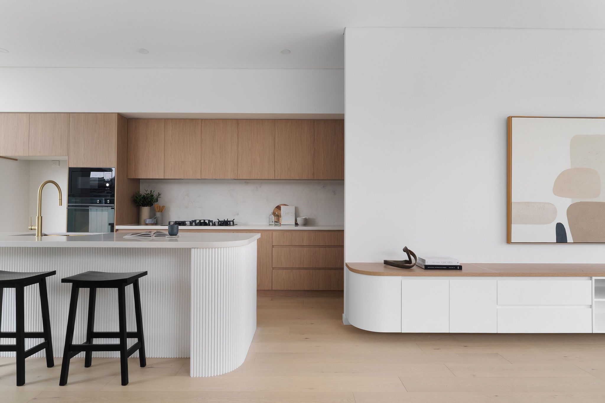
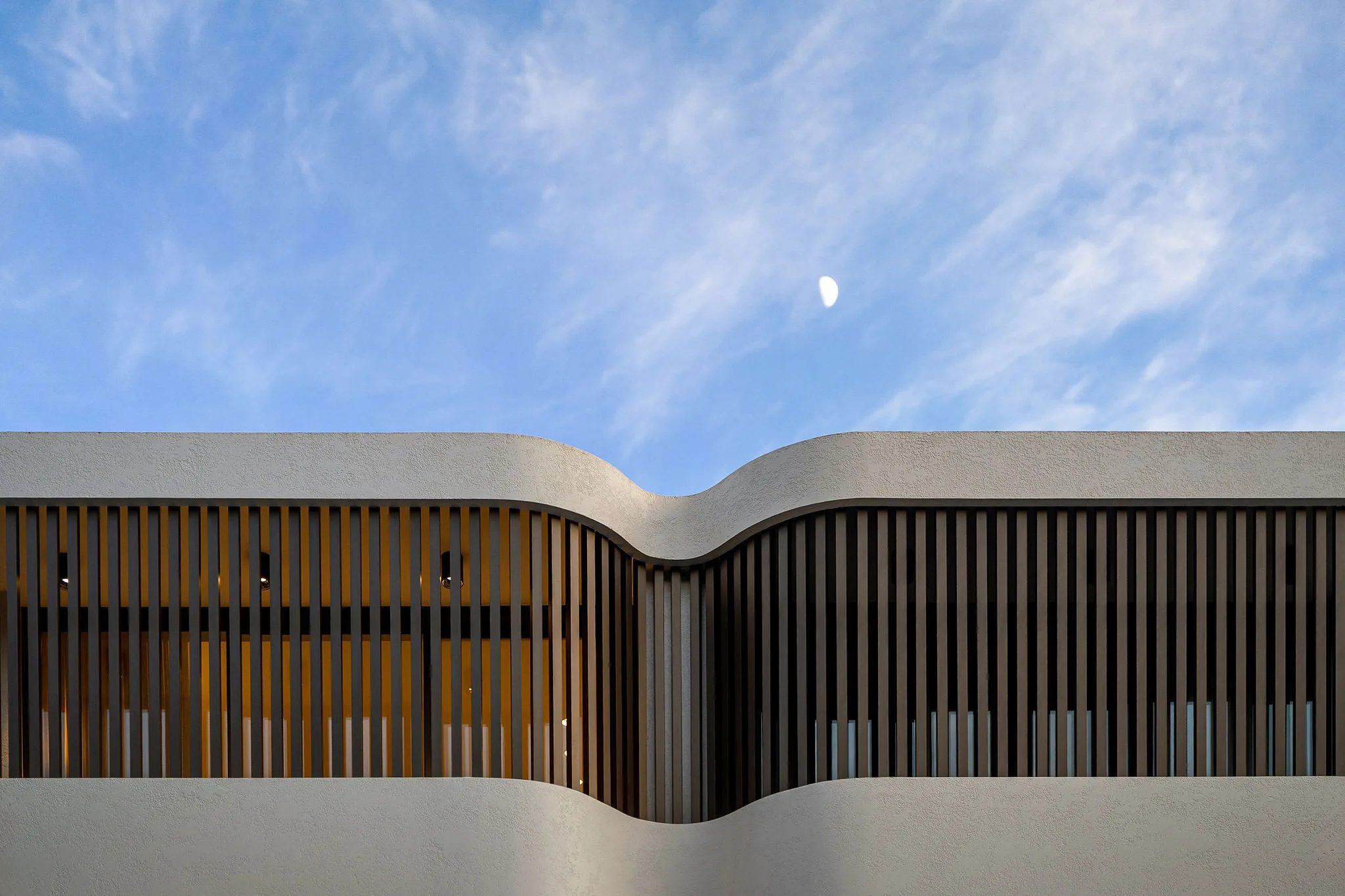
A sculptural white brick residence with curved forms and natural stone in Beverly Hills, completed in 2026. Architecture, interiors and facade are by SHORE and SHORE built it. Beverly Hills is about 26.3 kilometres from Leppington in a straight line between the calculated centres of the two suburb areas.

Architecture
SHORE
Interiors & facade
SHORE
[ DUO CLAD ]

[ DUO CLAD ]

Woonona, NSW

Completed 2024

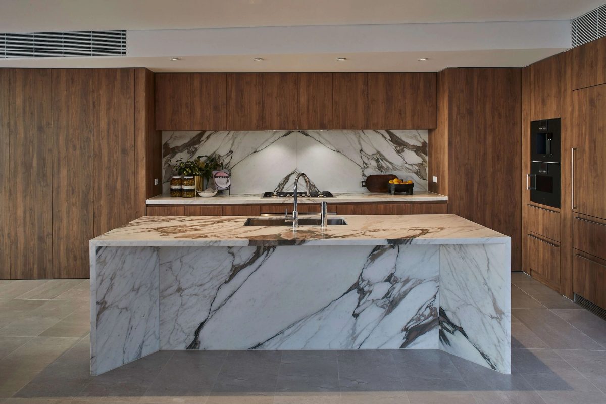
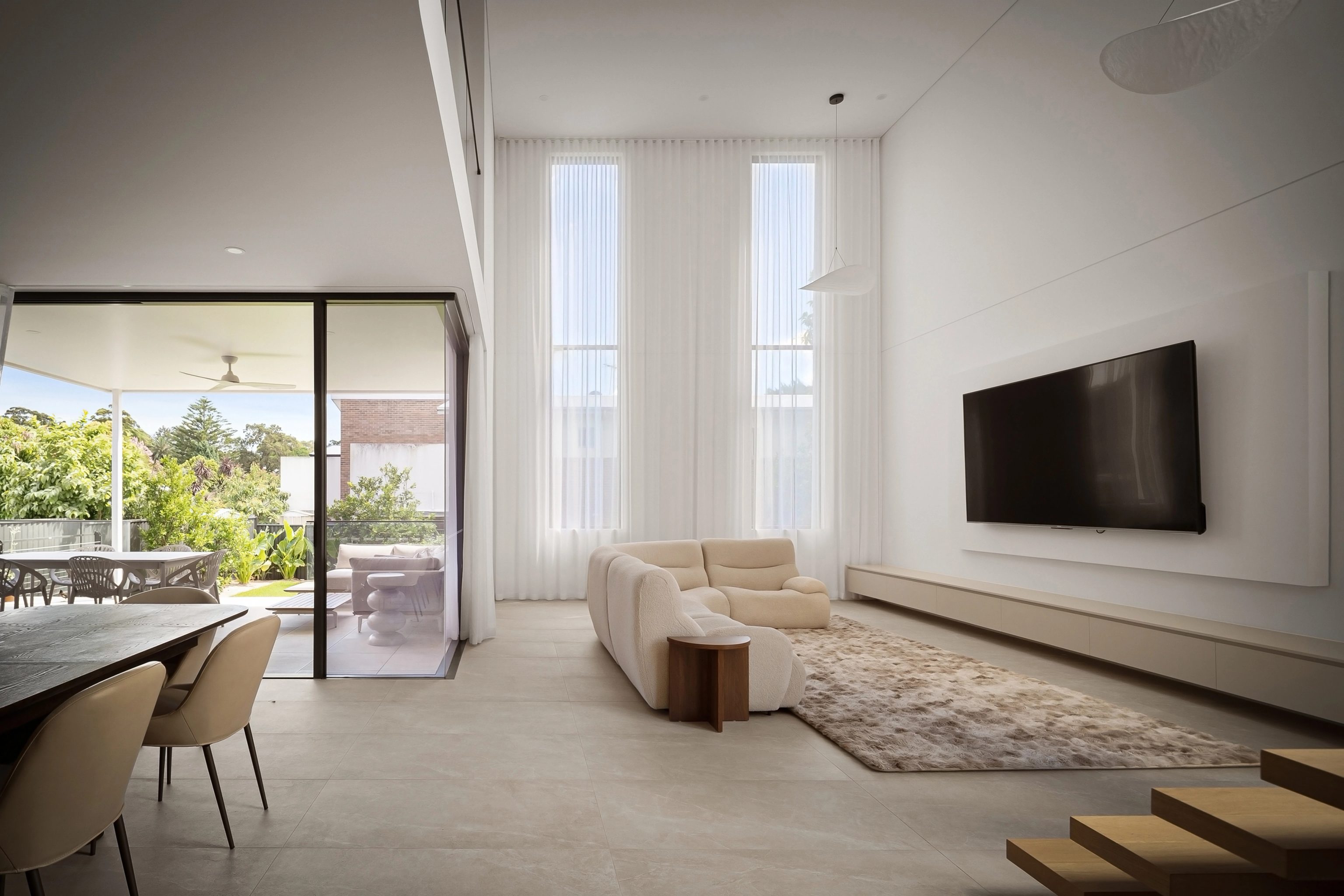
A contemporary coastal duplex in Woonona, completed in 2024. Architecture by 10 Star Living, with interiors and facade by SHORE, built by SHORE. Woonona is about 33.7 kilometres from Mount Annan in a straight line between the calculated centres of the two suburb areas.

Architecture
10 Star Living
Interiors & facade
SHORE

Localities directory

Camden municipal area localities

Our service footprint across the local government area encompasses 21 gazetted localities: Bickley Vale, Bringelly, Camden, Camden South, Catherine Field, Cobbitty, Currans Hill, Elderslie, Ellis Lane, Gledswood Hills, Grasmere, Gregory Hills, Harrington Park, Kirkham, Leppington, Mount Annan, Narellan, Narellan Vale, Oran Park, Smeaton Grange and Spring Farm.

Established rural residential pockets in the south contrast with newer masterplanned release precincts in the north, while industrial employment land along the central corridor rarely involves house work. Several northern and eastern localities also cross into neighbouring council areas, so we verify council jurisdiction before preparing site plans.


Questions to bring early

Local questions for Camden property owners

What planning rules govern custom home builds and knockdowns across Camden?

Most low density residential land we sampled under Camden LEP 2010 carries a 9.5 metre maximum building height alongside a two storey limit in Camden DCP 2019. Newer estates in Oran Park or Catherine Field follow the Western Parkland City planning policy and mostly carry a 9.0 or 9.5 metre height limit in Zone R2. Rather than setting a floor space ratio, Camden DCP 2019 caps two storey site coverage at 50% on the ground floor and 30% on the upper floor on allotments of 450 square metres or larger (35% upper floor on smaller allotments).

How do Nepean River, Narellan Creek and South Creek flood levels shape home design?

Properties in the Nepean River, Narellan Creek or Upper South Creek floodplains must comply with Council's Flood Risk Management Policy. Habitable floor levels on mainstream floodplains generally need 500 millimetres of freeboard above the 1% annual flood level or 300 to 500 millimetres along mapped overland flow paths. Non habitable floors generally sit at the 1% flood level, garages may sit 150 to 300 millimetres below it and any part of a building below the flood planning level must use flood compatible materials with electricity meters at or above that level.

How do dual occupancy and secondary dwelling rules work across Camden?

Under Camden LEP 2010 clause 4.1D, a dual occupancy requires an allotment of 800 square metres or more on a corner parcel or 600 square metres or more on other lots, with a width at the front building line of 18 metres for dwellings behind one another or 22 metres side by side. Both attached and detached dual occupancies are permissible with consent in Zones R1, R2 and R3, whereas Zone R5 and rural zones allow only attached dual occupancies. Secondary dwellings under clauses 5.4 and 7.5 generally need an allotment of 450 square metres or more and cannot exceed the greater of 60 square metres or 25% of the principal dwelling floor area.

How do building controls differ for rural residential and acreage properties in Grasmere, Cobbitty or Ellis Lane?

Most Zone R5 large lot residential land we sampled carries a 4,000 square metre lot size minimum and a 9.5 metre height limit. Camden DCP 2019 sets a 20 metre minimum front setback and 5 metre side and rear setbacks that must also match the prevailing setback of the two nearest houses on the same road, alongside neutral earthen external colours. Where reticulated sewer is unavailable, an on site sewage management system requires council approval under Section 68 of the Local Government Act 1993 and Council's flood policy keeps tanks above the 1% flood level and irrigation areas above the 5% flood level and at least 100 metres from permanent watercourses.

First step

Plan your Camden home with our team

Inform us regarding your site location, acreage scope and spatial aspirations. Our planning team will review applicable council instruments, hazard overlays and ground conditions before architectural concepts commence.

Start a conversation
AboutProjects